Brookhaven in Lincoln County, Mississippi — The American South (East South Central)
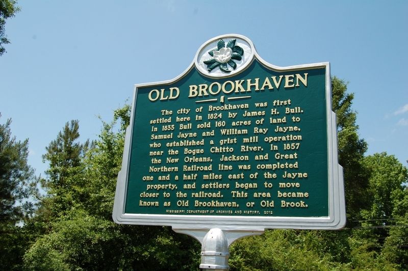
Old Brookhaven
The city of Boookhaven was first settled here in 1824 by James H. Bull. In 1833 Bull sold 160 acres of land to Samuel Jayne and William Ray Jayne, who established a grist mill operation near the Bouge Chitto River. In 1857 the New Orleans, Jackson and Great Northern Railroad line was completed one and a half miles east of the Jayne property, and settlers began to move closer to the railroad. This area became known as Old Brookhaven, or Old Brook.
Erected 2012 by Mississippi Department of Archives and History.
Topics and series. This historical marker is listed in this topic list: Settlements & Settlers. In addition, it is included in the Mississippi State Historical Marker Program series list.
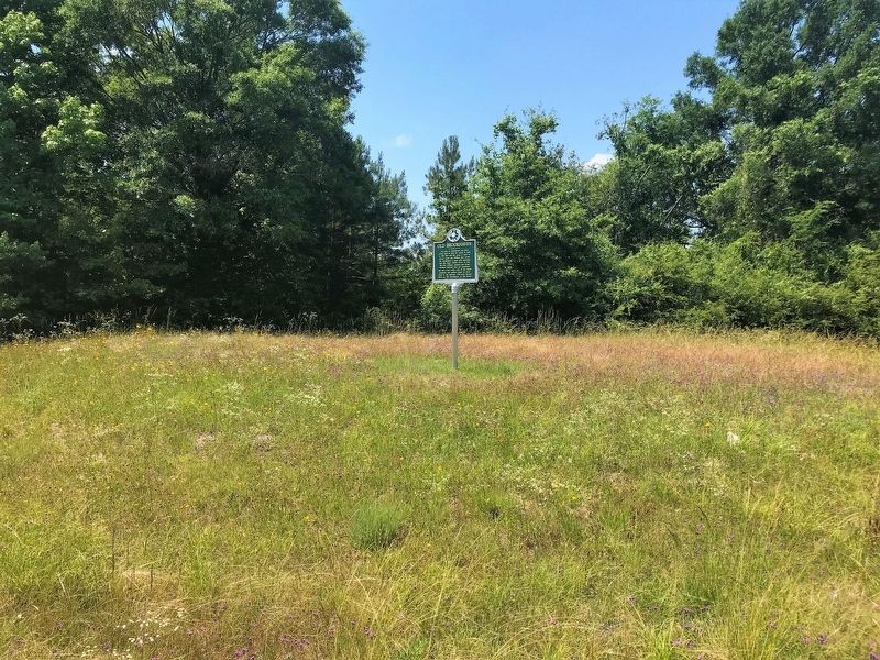
Location. 31° 33.144′ N, 90° 26.749′ W. Marker is in Brookhaven, Mississippi, in Lincoln County. Marker is at the intersection of South First Street (State Highway 583) and Dale Trail NE, on the right when traveling south on South First Street. Touch for map. Marker is in this post office area: Brookhaven MS 39601, United States of America. Touch for directions.
Other nearby markers. At least 8 other markers are within 2 miles of this marker, measured as the crow flies. St. Stephens Road (approx. 0.8 miles away); Coffee Pot Inn (approx. 1.1 miles away); Dr. Albert L. Lott (approx. 1.3 miles away); Original King's Daughters Hospital (approx. 1.7 miles away); Brookhaven Light Artillery (approx. 1.7 miles away); Brookhaven Blues: A Tribute (approx. 1.8 miles away); Temple B'nai Sholom (approx. 1.8 miles away); Brookhaven (approx. 1.8 miles away). Touch for a list and map of all markers in Brookhaven.
Credits. This page was last revised on May 20, 2018. It was originally submitted on May 20, 2018, by Cajun Scrambler of Assumption, Louisiana. This page has been viewed 332 times since then and 37 times this year. Photos: 1, 2. submitted on May 20, 2018.

