Deatonville in Amelia County, Virginia — The American South (Mid-Atlantic)
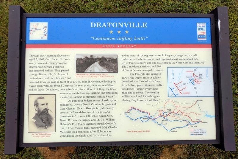
Deatonville
"Continuous shifting battle"
ó Lee's Retreat ó
As pursuing Federal forces closed in, Gen. William G. Lewisís North Carolina brigade and Gen. Clement Evansí Georgia brigade hastily erected “a formidable line of rifle pits and breastworks” to your left. When Union Gen. Byron R. Pierceís brigade and Lt. Col. William Hobsonís 17th Maine Infantry struck Gordonís line, a brief, vicious fight occurred. Maj. Charles Mattocks took command after Hobson was wounded in the thigh, and “with the colors, and as many of the regiment as could keep up, charged with a yell, rushed over the breastworks, and captured about one hundred men, ten or twelve officers, and one battle flag [21st North Carolina Infantry].” The Confederate artillery and 300 of Gordonís men managed to escape.
The Federals also captured part of the wagon train. A soldier described it as “loaded with furniture,[silver] plate, libraries, costly wardrobes—almost everything that can be moved. The wealthy of Richmond and Petersburg are fleeing, they know not wither.”
Erected by Virginia Civil War Trails.
Topics and series. This historical marker is listed in this topic list: War, US Civil. In addition, it is included in the Virginia Civil War Trails series list. A significant historical date for this entry is April 6, 1865.
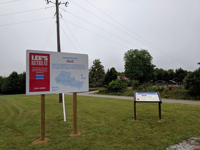
Location. 37° 19.737′ N, 78° 10.119′ W. Marker is in Deatonville, Virginia, in Amelia County. Marker is on East Sayler's Creek Road (Virginia Route 617) west of South Genito Road (Virginia Route 616), on the right when traveling west. Located in parking the lot of Sandy Creek Baptist Church. Touch for map. Marker is at or near this postal address: 25450 E Sayler's Creek Rd, Jetersville VA 23083, United States of America. Touch for directions.
Other nearby markers. At least 8 other markers are within 4 miles of this marker, measured as the crow flies. A different marker also named Deatonville (here, next to this marker); W. R. Turner Memorial Trek (approx. 2.4 miles away); Holtís Corner (approx. 2Ĺ miles away); a different marker also named Holt's Corner (approx. 2Ĺ miles away); Hillsman House (approx. 3.2 miles away); Overton / Hillsman House (approx. 3.2 miles away); Battle of Sailor's (Sayler's) Creek (approx. 3.2 miles away); Amelia Springs (approx. 3.3 miles away).
Credits. This page was last revised on May 20, 2018. It was originally submitted on May 20, 2018, by Bernard Fisher of Richmond, Virginia. This page has been viewed 581 times since then and 30 times this year. Photos: 1, 2. submitted on May 20, 2018, by Bernard Fisher of Richmond, Virginia.

