Manchester in Ontario County, New York — The American Northeast (Mid-Atlantic)
Smith Farm
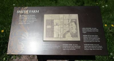
In just twelve years, the Smiths turned their hundred acres of forest into a farm that provided for their needs and stood as a monument to their family unity, thrift, and exemplary work habits.
Wood Lots. Forty acres of wood lot provided fuel, building materials, and staves for barrel making. In addition, the Smiths tapped 1,200 to 1,500 sugar maples, producing 1,000 pounds of sugar annually.
Fields. Grains such as wheat, barley, rye, corn, buckwheat, and oats were grown to feed the family and livestock. [?] was sold at market. Small [?] potatoes, turnips, beets, pumpkins, squash and flax were also [?].
Meadows. these areas were generally reserved for winter grazing. The Smiths mowed hay here once or twice each season.
Crooked Creek. The slowly meandering stream, which originated near the Hill Cumorah, provided a year-round supply of water and fresh fish.
Apple Orchard. the Smiths planted an apple orchard of about three dozen trees, including a variety of types of apples.
Swamp. Here the Smiths trapped small game for pelts to be bartered or sold in town. They also gathered cattails, which were used as gasket materials in lids of barrels made in the cooper shop.
Stafford Road. This rutted, ungraded wagon trail led north to Palmyra village, about two miles away, and south to Manchester village, about six miles away.
Topics. This historical marker is listed in these topic lists: Agriculture • Churches & Religion.
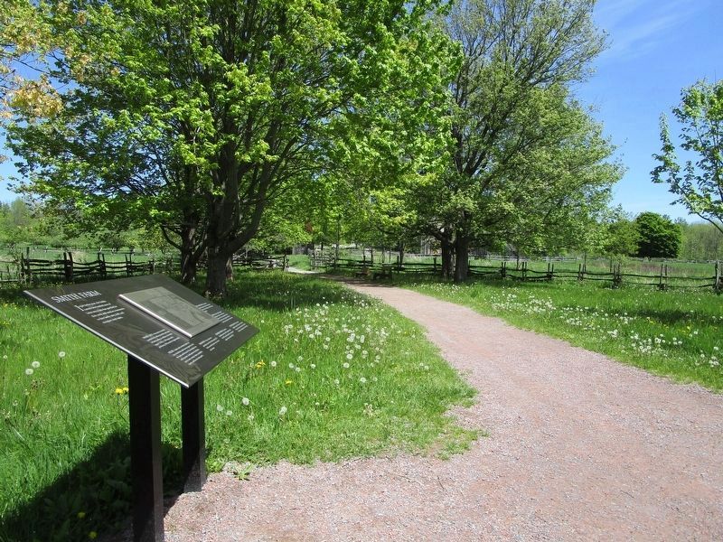
Location. 43° 2.295′ N, 77° 14.54′ W. Marker is in Manchester, New York, in Ontario County. Marker can be reached from the intersection of Stafford Road and Temple Road. Marker is on the grounds of Joseph Smith Farm. He was the founder of Mormanism. This marker is on a path leading west from "The Frame House". Touch for map. Marker is at or near this postal address: 843 Stafford Road, Palmyra NY 14522, United States of America. Touch for directions.
Other nearby markers. At least 8 other markers are within walking distance of this marker. Apple Orchard (about 300 feet away, measured in a direct line); Cooper Shop (about 400 feet away); Threshing Barn (about 400 feet away); The Frame Home (about 400 feet away); The Sacred Grove (about 600 feet away); Creating a Farm (about 600 feet away); The Eight Witnesses (about 700 feet away); Fencing the Land (about 800 feet away). Touch for a list and map of all markers in Manchester.
Credits. This page was last revised on May 27, 2018. It was originally submitted on May 22, 2018, by Anton Schwarzmueller of Wilson, New York. This page has been viewed 326 times since then and 40 times this year. Photos: 1, 2. submitted on May 22, 2018, by Anton Schwarzmueller of Wilson, New York.

