Foggy Bottom in Northwest Washington in Washington, District of Columbia — The American Northeast (Mid-Atlantic)
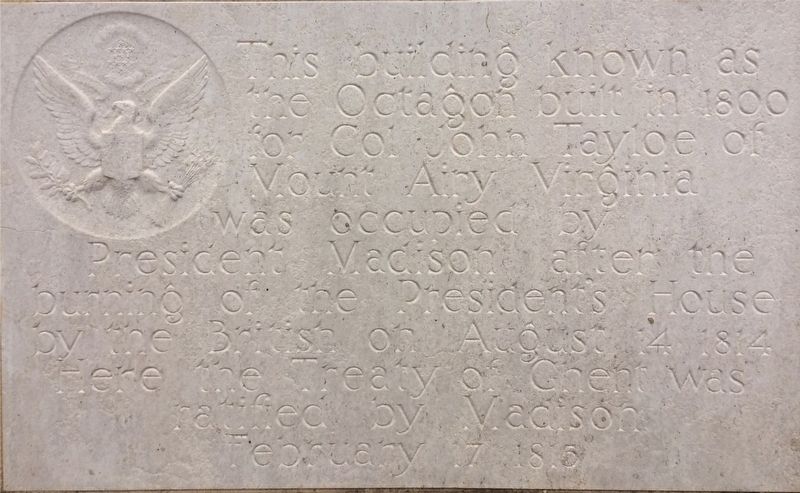
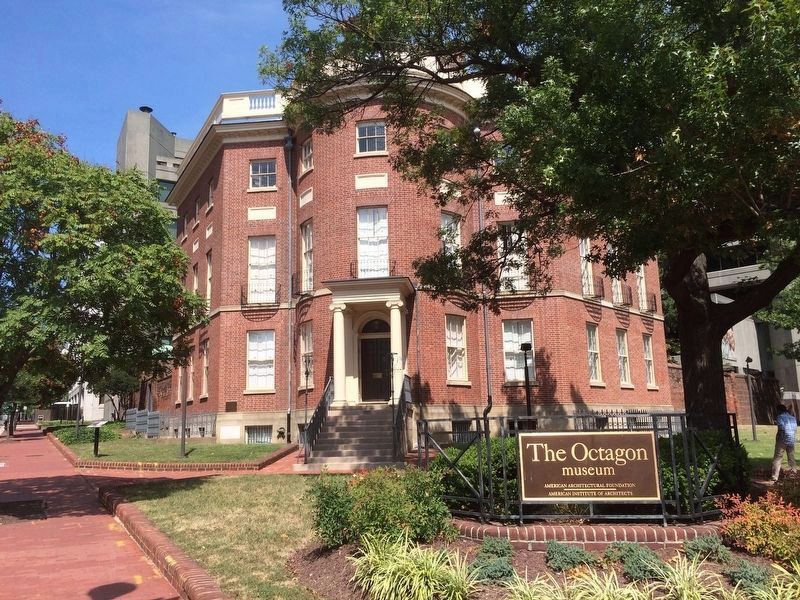
The Octagon
Topics and series. This historical marker is listed in these topic lists: Government & Politics • War of 1812. In addition, it is included in the Former U.S. Presidents: #04 James Madison series list. A significant historical year for this entry is 1800.
Location. 38° 53.78′ N, 77° 2.491′ W. Marker is in Northwest Washington in Washington, District of Columbia. It is in Foggy Bottom. Marker is at the intersection of 18th Street Northwest and New York Avenue Northwest, on the right when traveling north on 18th Street Northwest. Touch for map. Marker is at or near this postal address: 1799 New York Avenue Northwest, Washington DC 20006, United States of America. Touch for directions.
Other nearby markers. At least 8 other markers are within walking distance of this marker. Peace at Last! (a few steps from this marker); a different marker also named The Octagon (a few steps from this marker); Gen. John A. Rawlins Memorial (about 300 feet away, measured in a direct line); DACOR Ramp Dedication (about 400 feet away); John Marshall (about 400 feet away); Dacor Bacon House (about 400 feet away); 1801 F Street (about 400 feet away); The American Red Cross (about 500 feet away). Touch for a list and map of all markers in Northwest Washington.
Credits. This page was last revised on January 30, 2023. It was originally submitted on November 14, 2017, by Devry Becker Jones of Washington, District of Columbia. This page has been viewed 232 times since then and 19 times this year. Last updated on May 23, 2018, by Devry Becker Jones of Washington, District of Columbia. Photos: 1. submitted on November 14, 2017, by Devry Becker Jones of Washington, District of Columbia. 2. submitted on December 12, 2017, by J. Makali Bruton of Accra, Ghana. • Andrew Ruppenstein was the editor who published this page.

