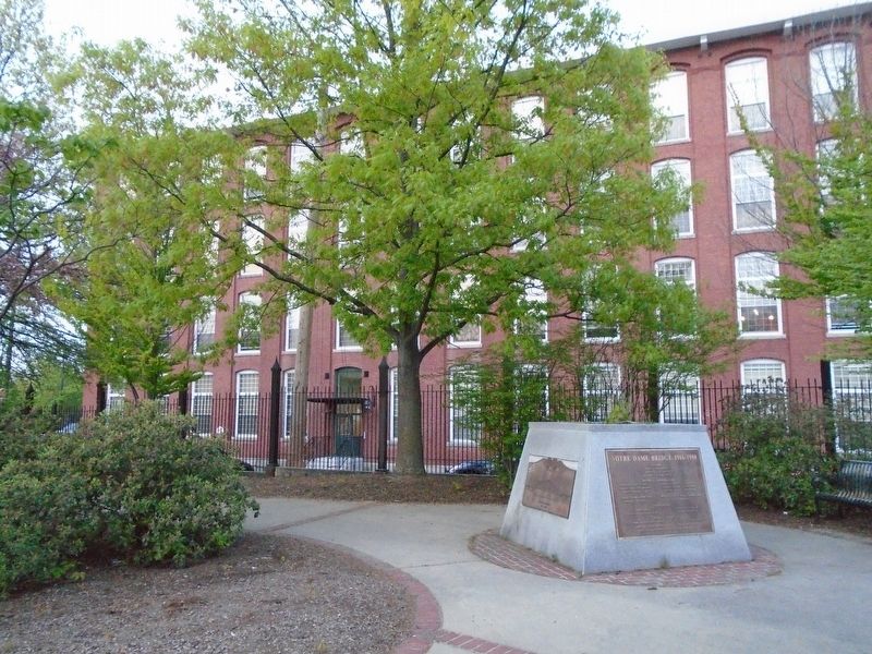
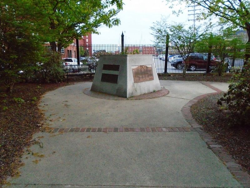
Notre Dame in Manchester in Hillsborough County, New Hampshire — The American Northeast (New England)
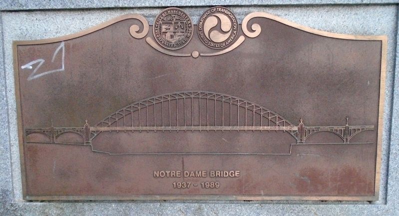
Notre Dame Bridge
1937 - 1989
—————————————
[Markers formerly on the bridge]
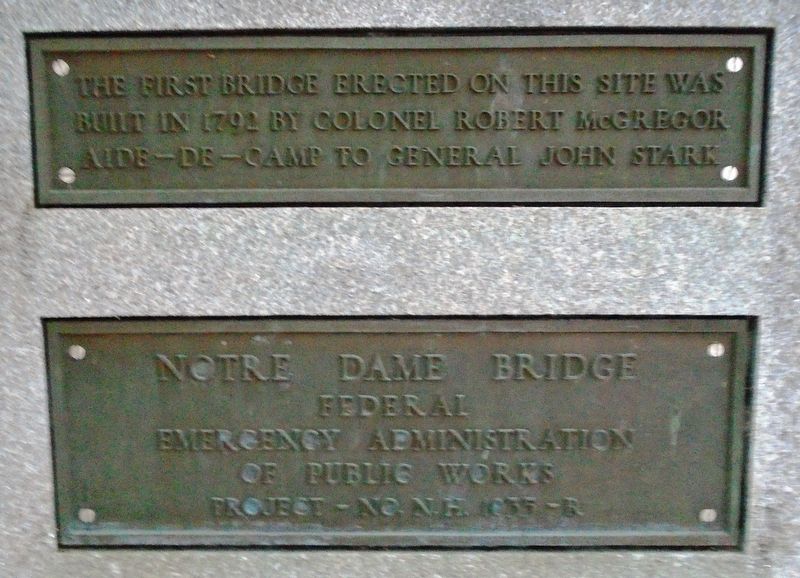
Notre Dame Bridge
Federal
Emergency Administration
of Public Works
Project - No. N.H. 1835 - R
The first bridge erected on this site was
built in 1792 by Colonel Robert McGregor
Aide-de-Camp to General John Stark
—————————————
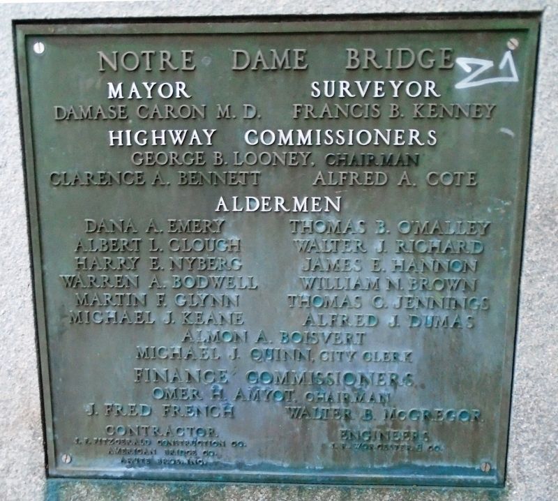
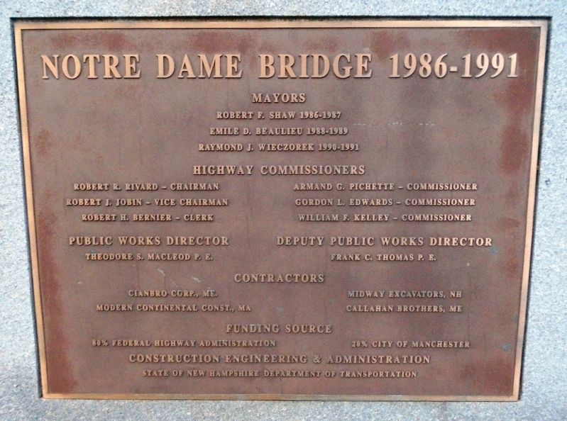
[Notre Dame Bridge Officials markers]
Topics. This historical marker is listed in this topic list: Bridges & Viaducts. A significant historical year for this entry is 1835.
Location. 42° 59.608′ N, 71° 28.343′ W. Marker is in Manchester, New Hampshire, in Hillsborough County. It is in Notre Dame. Marker is at the intersection of Amory Street/Bridge Street and McGregor Street, on the right when traveling east on Amory Street/Bridge Street. Touch for map. Marker is at or near this postal address: 195 McGregor Street, Manchester NH 03102, United States of America. Touch for directions.
Other nearby markers. At least 8 other markers are within walking distance of this marker. St. Mary's Bank Credit Union / La Caisse Populaire Saint-Marie (approx. 0.2 miles away); Ralph Baer (approx. 0.2 miles away); The Mill Girl (approx. 0.3 miles away); Brigadier General John Stark (approx. half a mile away); Manchester's First Green Roof (approx. half a mile away); City Hall (approx. half a mile away); Merci Box Car (approx. half a mile away); Amoskeag Mills (approx. 0.6 miles away). Touch for a list and map of all markers in Manchester.
Credits. This page was last revised on February 16, 2023. It was originally submitted on May 24, 2018, by William Fischer, Jr. of Scranton, Pennsylvania. This page has been viewed 239 times since then and 20 times this year. Photos: 1, 2, 3, 4, 5, 6, 7. submitted on May 24, 2018, by William Fischer, Jr. of Scranton, Pennsylvania.
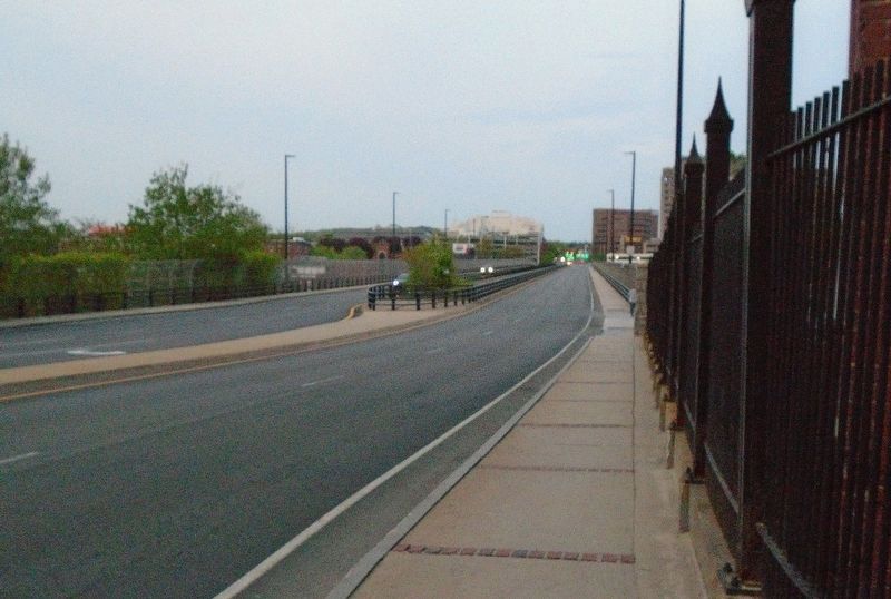
Editor’s want-list for this marker. Angled photo showing the current bridge spanning the Merrimack River • Can you help?
