City of Westminster in Greater London, England, United Kingdom — Northwestern Europe (the British Isles)
The Queen’s Meadow
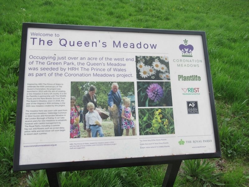
Welcome to The Queen’s Meadow
Occupying just over an acre of the west end of the green Park, the Queen’s Meadow was seeded by HRH The Prince of Wales as part of the Coronation Meadows project.
Inspired by HRH The Prince of Wales to celebrate the 60th anniversary of The Queen's Coronation, the project was launched in 2013 with the aim of creating a new meadow in every UK county. It is led by Plantlife in partnership with The Wildlife Trusts and the Rare Breeds Survival Trust. The Queen's Meadow, sown in 2016, the year of Her Majesty's 90th birthday, is the 90th new meadow created by the project.
The meadow here was sown with seed from two ancient meadows, Valebridge Common in West Sussex and Horsenden Meadow in the London Borough of Ealing. It can take several years for new meadows to establish; however with careful management by The Royal Parks, including a summer hay cut, wild flowers such as ox-eye daisy. yellow rattle and red clover will soon begin to bloom each summer.
Topics. This historical marker is listed in this topic list: Environment.
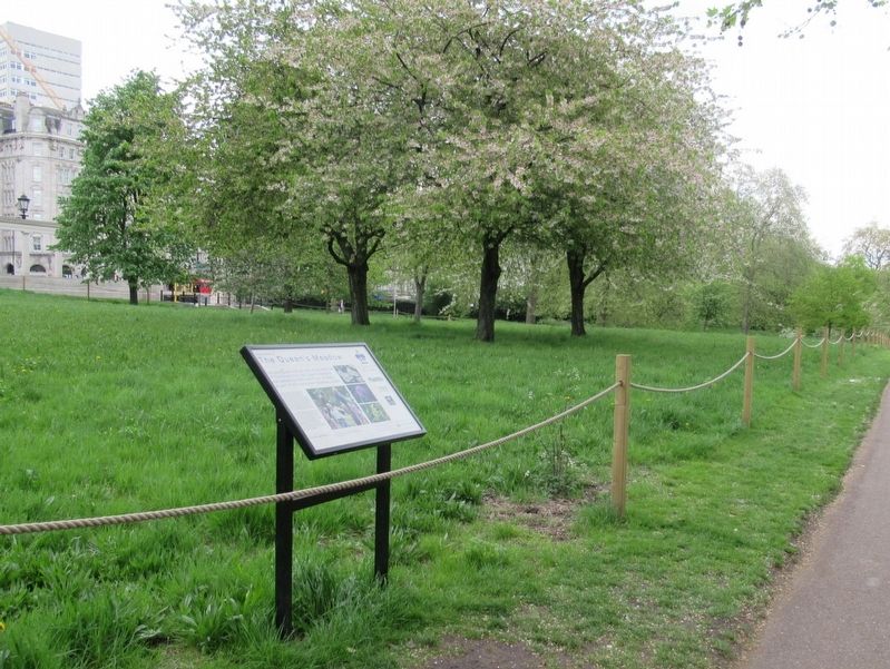
Location. 51° 30.167′ N, 0° 8.924′ W. Marker is in City of Westminster, England, in Greater London. Marker is at the intersection of Constitution Hill and Piccadilly, on the right when traveling west on Constitution Hill. Located in Green Park. Touch for map. Marker is in this post office area: City of Westminster, England W1J 7JZ, United Kingdom. Touch for directions.
Other nearby markers. At least 8 other markers are within walking distance of this marker. The Memorial Gates (within shouting distance of this marker); Bomber Command Memorial (within shouting distance of this marker); a different marker also named The Bomber Command Memorial (within shouting distance of this marker); New Zealand War Memorial (about 90 meters away, measured in a direct line); Wellington Arch (about 150 meters away); Machine Gun Corps Memorial (about 150 meters away); Francis Barraud (about 180 meters away); Royal Aeronautical Society (about 210 meters away). Touch for a list and map of all markers in City of Westminster.
Credits. This page was last revised on January 27, 2022. It was originally submitted on June 1, 2018, by Michael Herrick of Southbury, Connecticut. This page has been viewed 170 times since then and 27 times this year. Photos: 1, 2. submitted on June 1, 2018, by Michael Herrick of Southbury, Connecticut.

