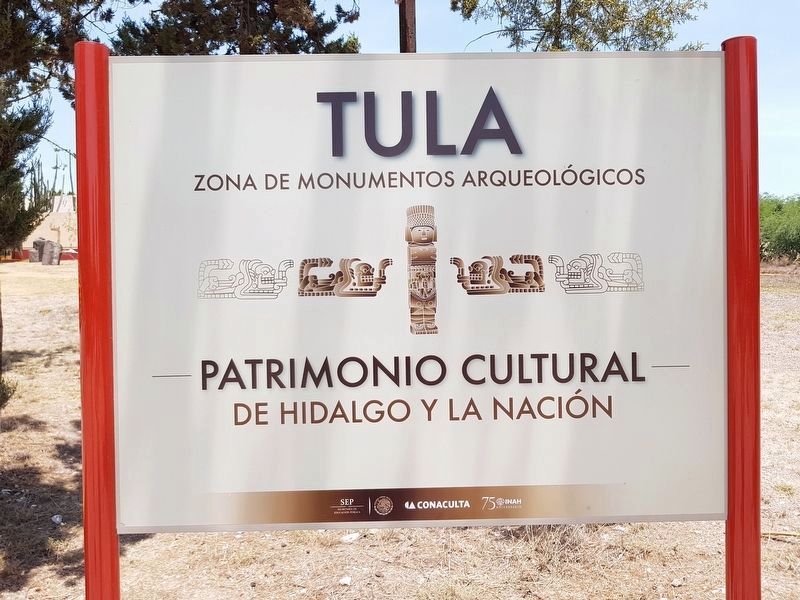
Tula de Allende, Hidalgo, Mexico — The Central Highlands (North America)
Tula
Tula
Tollan “Lugar de tules o juncos”
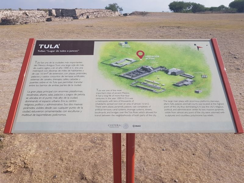
Tula fue una de la ciudades más importantes del México Antiguo. Tuvo una larga vida de más de cuatro siglos y en el año 1000 d. C. era una metrópoli con decenas de miles de habitantes y de casi 16 km2 de extension, con plazas, pirámides, palacios y vastos conjuntos de terrazas artificiales, sistemas de canales, drenajes, calles, calzadas y puentes sobre el río Tula que permitían transitar entre los barrios de ambas partes de la ciudad.
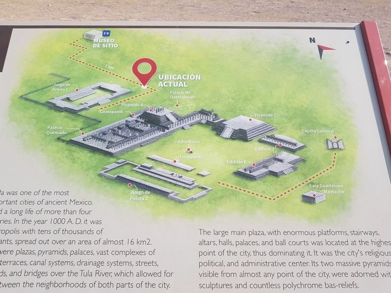
La gran plaza principal con enormes plataformas, escalinatas, altares, salas, palacios y juegos de pelota, se ubicaba en el punto más alto de la ciudad, dominando el espacio urbano. Era su centro religioso, político y administrativo. Sus dos masivas pirámides, visibles desde casi cualquier punto de la ciudad, estuvieron ornamentadas con esculturas y multitud de bajorrelieves polícromos.
Tula
Tollan “Place of cattails or bulrushes”
Tula was one of the most important cities of ancient Mexico. It had a long life of more than four centuries. In the year 1000 A. D. it was a metropolis with tens of thousands of inhabitants, spread out over an area of almost 16 km2. There were plazas, pyramids, palaces, vast complexes of artificial terraces, canal systems, drainage systems, streets, boulevards, and bridges over the Tula River, which allowed for transit between the neighborhoods of both parts of the city.
The large main plaza, with enormous platforms, stairways, altars, halls, palaces, and ball courts was located at the highest point of the city, thus dominating it. It was the city's religious, political, and administrative center. Its two massive pyramids, visible from almost any point of the city, were adorned with sculptures and countless polychrome bas-reliefs.
Erected by Secretaría de Cultura y INAH.
Topics. This historical marker is listed in these topic lists: Architecture • Man-Made Features • Native Americans.
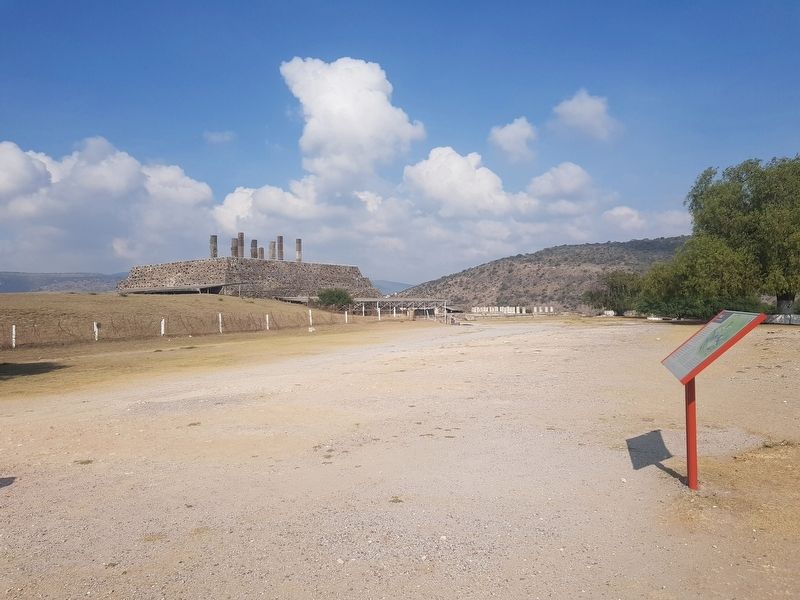
Location. 20° 3.885′ N, 99° 20.377′ W. Marker is in Tula de Allende, Hidalgo. Marker can be reached from Tula-Pachuca Carretera (Route 17) just north of Entrada a Zona Arqueológica. The marker is the first marker some 300 meters after passing the visitors center and museum at the Tula Archaeological Site. The marker is just southeast of Ball Court 1 north of Pyramid B. Touch for map. Marker is in this post office area: Tula de Allende HGO 42800, Mexico. Touch for directions.
Other nearby markers. At least 8 other markers are within walking distance of this marker. Ball Court 1 (within shouting distance of this marker); El Coatepantli (Wall of Snakes) (about 90 meters away, measured in a direct line); The Temple of Pyramid B (about 120 meters away); Pyramid B (about 120 meters away); The Burnt Palace (about 180 meters away); Pyramid C and the Adoratory (about 180 meters away); The Wall of Skulls (about 210 meters away); Ball Court 2 (approx. 0.2 kilometers away). Touch for a list and map of all markers in Tula de Allende.
Credits. This page was last revised on June 8, 2018. It was originally submitted on June 3, 2018, by J. Makali Bruton of Accra, Ghana. This page has been viewed 166 times since then and 13 times this year. Photos: 1, 2, 3, 4. submitted on June 3, 2018, by J. Makali Bruton of Accra, Ghana. 5. submitted on June 8, 2018, by J. Makali Bruton of Accra, Ghana.
