Rice in Prince Edward County, Virginia — The American South (Mid-Atlantic)
Rice’s Depot
Retreat and Pursuit
— Lee’s Retreat —
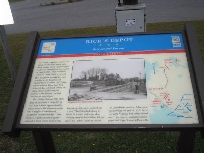
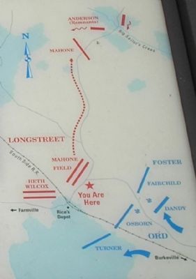
Part of Gen. Edward O.C. Ord’s Army of the James, a corps led by Gen. John Gibbon, approached the station early in the afternoon on its way to support a detachment assigned to burn the bridge. Three infantry brigades marched up the railroad in front of you; behind you, Longstreet’s divisions awaited the attack. The Federals deployed in battle formation and heavy skirmishing erupted, but Gibbon did not have time before sunset to assault the Confederate position. After dark, assured that the rest of the Army of Northern Virginia had safely passed over High Bridge, Longstreet disengaged and slipped away to Farmville.
Erected by Virginia Civil War Trails.
Topics. This historical marker is listed in these topic lists: Notable Events • Notable Places • War, US Civil. A significant historical date for this entry is April 6, 1865.
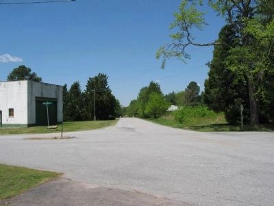
Location. 37° 16.294′ N, 78° 17.441′ W. Marker is in Rice, Virginia, in Prince Edward County. Marker is at the intersection of U.S. 600 and U.S. 735, on the left when traveling south on U.S. 600. Touch for map. Marker is in this post office area: Rice VA 23966, United States of America. Touch for directions.
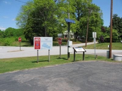
Other nearby markers. At least 8 other markers are within 3 miles of this marker, measured as the crow flies. A different marker also named Rice’s Depot (here, next to this marker); Action at High Bridge (approx. 0.4 miles away); Battle of Sailor's Creek (approx. 0.4 miles away); High Bridge (approx. 1.8 miles away); Cavalry Battle at High Bridge (approx. 1.8 miles away); a different marker also named Cavalry Battle at High Bridge (approx. 1.8 miles away); Camp Paradise (approx. 2.9 miles away); African-Americans at High Bridge (approx. 2.9 miles away). Touch for a list and map of all markers in Rice.
More about this marker. The center of the marker contains a “1936 photo of Rice’s Depot on South Side Railroad.” A battle map is found on the right side of the marker.
Also see . . .
1. Lee's Retreat to Appomattox. Virginia Civil War Trails. (Submitted on September 27, 2008, by Bill Coughlin of Woodland Park, New Jersey.)
2. Lee's Retreat. Virginia's Retreat guide. (Submitted on September 27, 2008, by Bill Coughlin of Woodland Park, New Jersey.)
Credits. This page was last revised on June 16, 2016. It was originally submitted on September 27, 2008, by Bill Coughlin of Woodland Park, New Jersey. This page has been viewed 2,124 times since then and 95 times this year. Photos: 1. submitted on September 27, 2008, by Bill Coughlin of Woodland Park, New Jersey. 2. submitted on June 11, 2010, by Craig Swain of Leesburg, Virginia. 3. submitted on September 27, 2008, by Bill Coughlin of Woodland Park, New Jersey. 4, 5. submitted on June 11, 2010, by Craig Swain of Leesburg, Virginia.
