Knoxville in Knox County, Tennessee — The American South (East South Central)
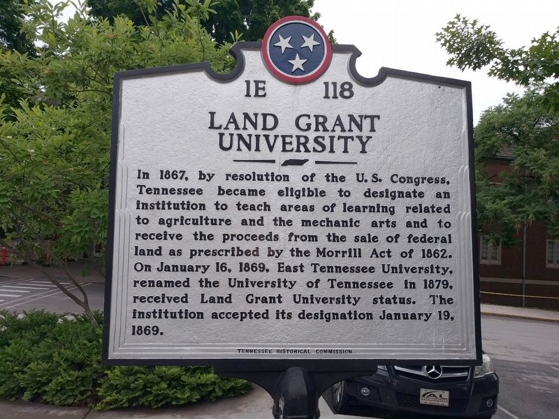
Land Grant University
Erected by Tennessee Historical Commission. (Marker Number 1E 118.)
Topics and series. This historical marker is listed in these topic lists: Agriculture • Education. In addition, it is included in the Tennessee Historical Commission series list. A significant historical date for this entry is January 16, 1869.
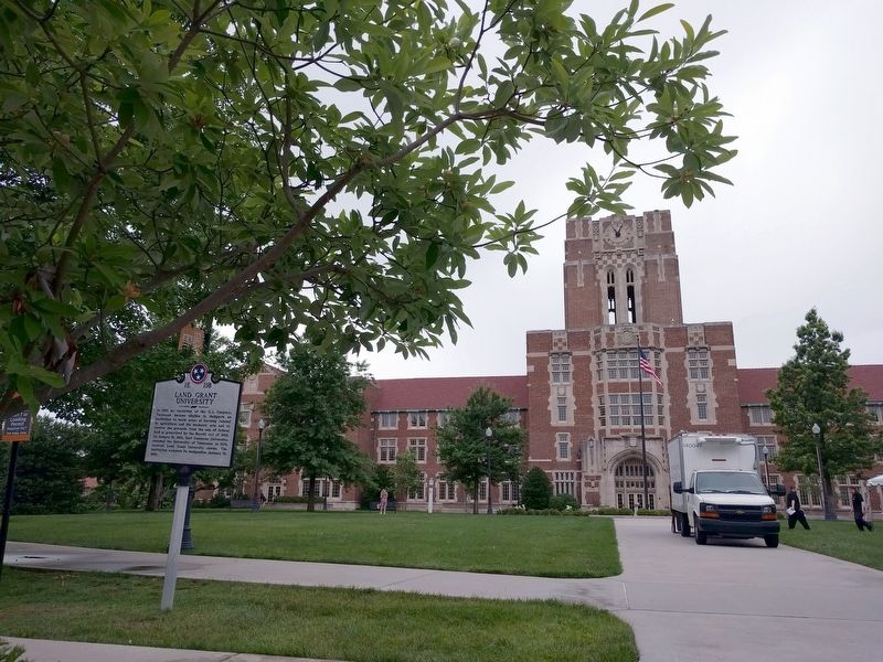
Location. 35° 57.424′ N, 83° 55.54′ W. Marker is in Knoxville, Tennessee, in Knox County. Marker is on Circle Drive, 0.2 miles south of Cumberland Avenue (U.S. 70), on the left when traveling east. Touch for map. Marker is at or near this postal address: 1403 Circle Drive, Knoxville TN 37916, United States of America. Touch for directions.
Other nearby markers. At least 8 other markers are within walking distance of this marker. Desegregation of the University of Tennessee (about 300 feet away, measured in a direct line); Wait Field (about 700 feet away); Fort Byington (approx. 0.2 miles away); Carl Sublett (approx. 0.2 miles away); James Rufus Agee (approx. 0.2 miles away); General Clifton Bledsoe Cates (approx. 0.2 miles away); Neyland Stadium (approx. ¼ mile away); Fort Sanders (approx. ¼ mile away). Touch for a list and map of all markers in Knoxville.
Also see . . . Morrill Land-Grant Acts. (Submitted on June 6, 2018, by Joel Seewald of Madison Heights, Michigan.)
Credits. This page was last revised on June 6, 2018. It was originally submitted on June 6, 2018, by Joel Seewald of Madison Heights, Michigan. This page has been viewed 272 times since then and 30 times this year. Photos: 1, 2. submitted on June 6, 2018, by Joel Seewald of Madison Heights, Michigan.

