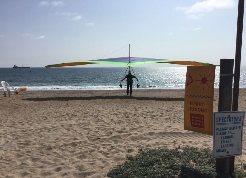
Playa del Rey in Los Angeles in Los Angeles County, California — The American West (Pacific Coastal)
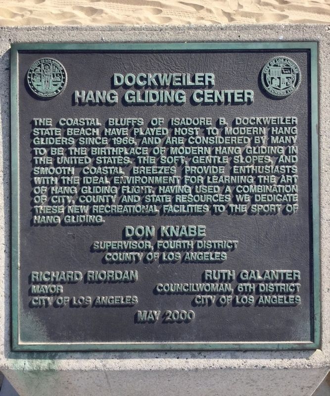
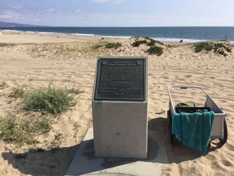
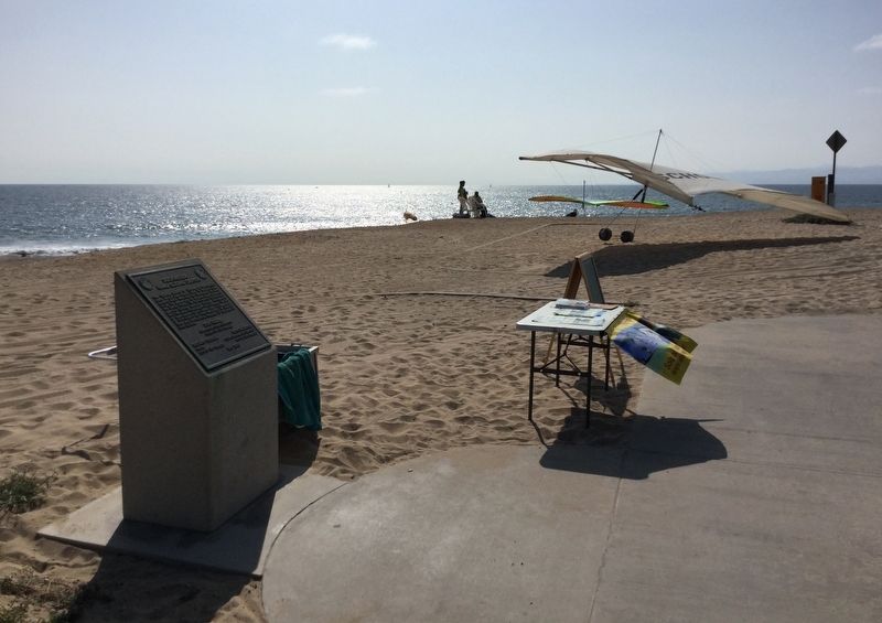
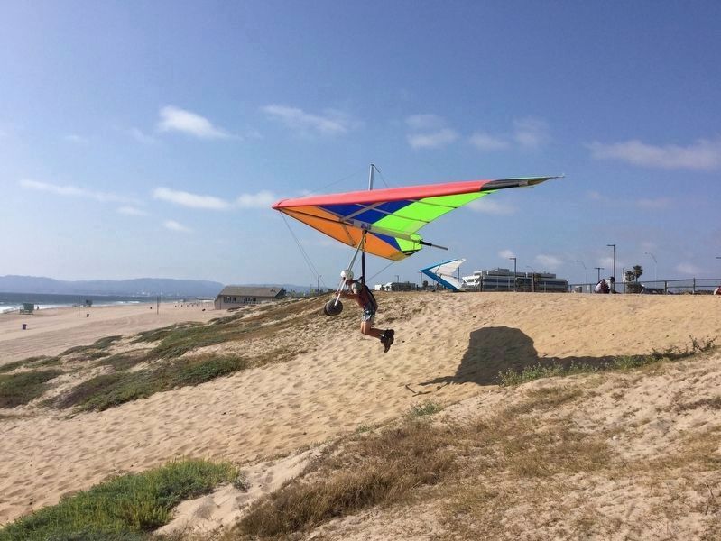
Dockweiler Hang Gliding Center
Erected 2000 by City and County of Los Angeles.
Topics. This historical marker is listed in these topic lists: Air & Space • Parks & Recreational Areas • Sports.
Location. 33° 55.203′ N, 118° 25.816′ W. Marker is in Los Angeles, California, in Los Angeles County. It is in Playa del Rey. Marker can be reached from Vista Del Mar, 0.6 miles south of Imperial Highway. Touch for map. Marker is at or near this postal address: 12601 Vista Del Mar, Playa del Rey CA 90293, United States of America. Touch for directions.
Other nearby markers. At least 8 other markers are within 3 miles of this marker, measured as the crow flies. The Trans-Polar Air Route (approx. 1.6 miles away); The History of Bruce’s Beach (approx. 2 miles away); Los Angeles International Airport (approx. 2.3 miles away); Manhattan Beach Pier (approx. 2.7 miles away); Former Site Of The La Mar Theatre (approx. 2.7 miles away); Hangar #1 (approx. 2.8 miles away); Lt. Col Roosevelt Hestle (approx. 2.8 miles away); The Freedom Tree (approx. 2.8 miles away). Touch for a list and map of all markers in Los Angeles.
Also see . . . Windsports. — Flying at Dockweiler Beach. (Submitted on March 3, 2019, by Craig Baker of Sylmar, California.)
Credits. This page was last revised on February 7, 2023. It was originally submitted on May 23, 2018, by Craig Baker of Sylmar, California. This page has been viewed 751 times since then and 118 times this year. Last updated on June 6, 2018, by Craig Baker of Sylmar, California. Photos: 1. submitted on May 23, 2018, by Craig Baker of Sylmar, California. 2, 3, 4, 5. submitted on May 24, 2018, by Craig Baker of Sylmar, California. • Andrew Ruppenstein was the editor who published this page.
