Near Brownsville in Cameron County, Texas — The American South (West South Central)
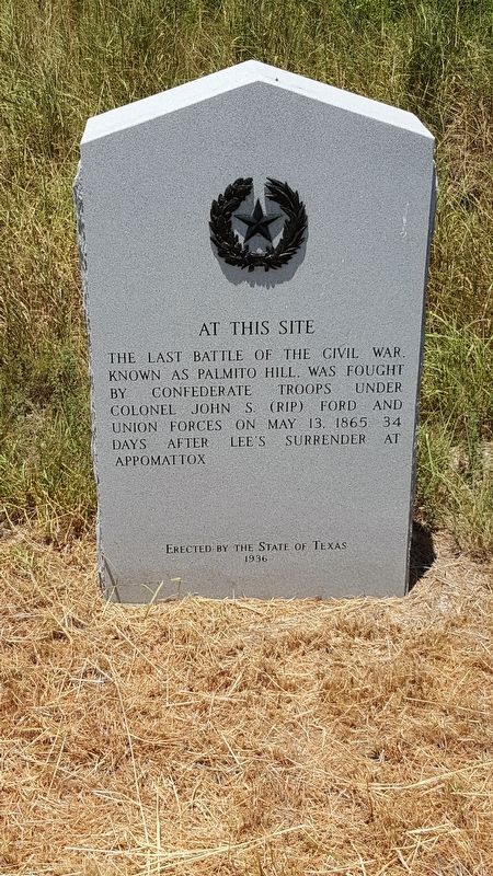
Last Battle of the Civil War
Erected 1936 by State of Texas. (Marker Number 16054.)
Topics and series. This historical marker is listed in this topic list: War, US Civil. In addition, it is included in the Texas 1936 Centennial Markers and Monuments series list. A significant historical date for this entry is May 13, 1865.
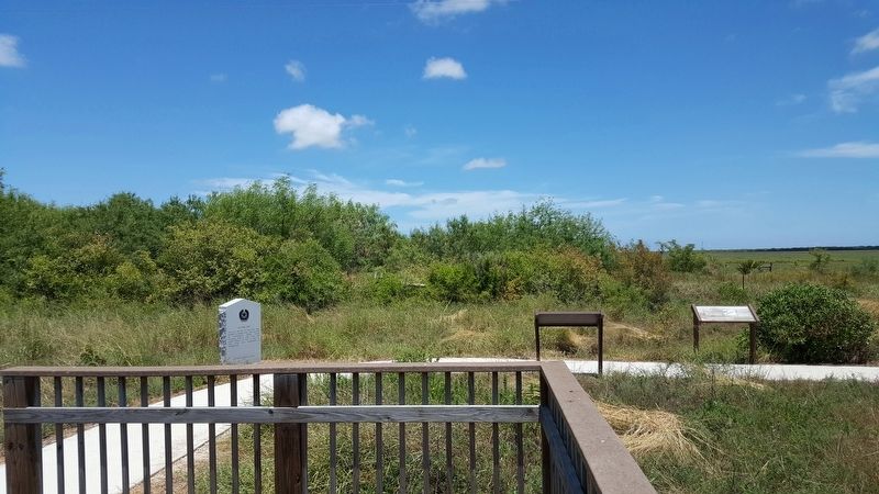
Location. 25° 57.575′ N, 97° 18.203′ W. Marker is near Brownsville, Texas, in Cameron County. Marker can be reached from Palmitto Hill Road, 0.1 miles south of Boca Chica Boulevard (State Highway 4), on the right when traveling south. Marker is located approximately 14 miles east of Brownsville. From Brownsville, take Boca Chica Boulevard. Turn right on Palmitto Hill Road. There is a large parking area off the right side of the road with a short trail that leads to an observation platform. The marker and several interpretive panels describing the battle are located near the observation platform. Touch for map. Marker is in this post office area: Brownsville TX 78521, United States of America. Touch for directions.
Other nearby markers. At least 8 other markers are within 7 miles of this marker, measured as the crow flies. Divided Loyalties: Hispanics in the Civil War (here, next to this marker); The High Price of Cotton (a few steps from this marker); The Battle of Palmito Ranch (a few steps from this marker); a different marker also named Battle of Palmito Ranch (approx. 0.2 miles away); Exploring The Boundaries (approx. 0.2 miles away); Palmito Ranch Battlefield: Last Clash of the Blue and the Gray (approx. 0.2 miles away); Site of Camp Belknap (approx. 4.6 miles away); Port of Brownsville (approx. 6.7 miles away). Touch for a list and map of all markers in Brownsville.
Also see . . . Battle of Palmitto Ranch - The Handbook of Texas Online. Texas State Historical Association (TSHA) (Submitted on June 8, 2018, by Brian Anderson of Humble, Texas.)
Credits. This page was last revised on January 15, 2021. It was originally submitted on June 8, 2018, by Brian Anderson of Humble, Texas. This page has been viewed 696 times since then and 137 times this year. Photos: 1, 2. submitted on June 9, 2018, by Brian Anderson of Humble, Texas. • Andrew Ruppenstein was the editor who published this page.

