Sabine Pass in Jefferson County, Texas — The American South (West South Central)
1886 Hurricane at Sabine Pass
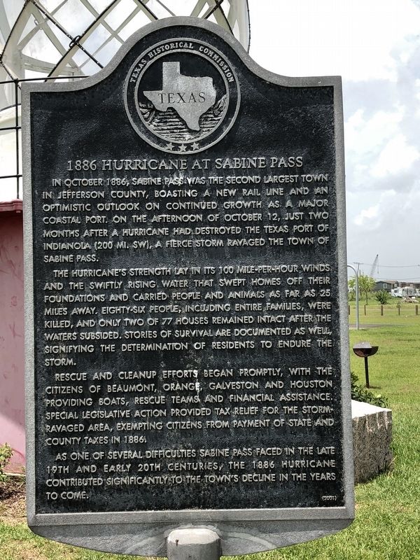
The hurricane's strength lay in its 100 mile-per-hour winds and the swiftly rising water that swept homes off their foundations and carried people and animals as far as 25 miles away. Eighty-six people, including entire families, were killed, and only two of 77 houses remained intact after the waters subsided. Stories of survival are documented as well, signifying the determination of residents to endure the storm.
Rescue and cleanup efforts began promptly, with the citizens of Beaumont, Orange, Galveston and Houston providing boats, rescue teams and financial assistance. Special legislative action provided tax relief for the storm-ravaged area, exempting citizens from payment of state and county taxes in 1886.
As one of several difficulties Sabine Pass faced in the late 19th and early 20th centuries, the 1886 hurricane contributed significantly to the town's decline in the years to come.
Erected 2001 by Texas Historical Commission . (Marker Number 12425.)
Topics. This historical marker is listed in this topic list: Disasters. A significant historical date for this entry is October 12, 1886.
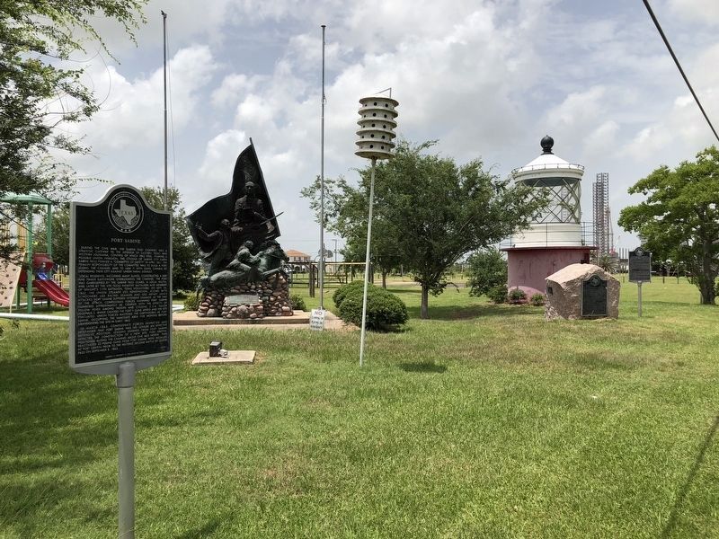
Location. 29° 44.085′ N, 93° 53.632′ W. Marker is in Sabine Pass, Texas, in Jefferson County. Marker is on Broadway Street, on the right when traveling south. Marker is one of several located within Lions Community Park. Touch for map. Marker is in this post office area: Sabine Pass TX 77655, United States of America. Touch for directions.
Other nearby markers. At least 8 other markers are within walking distance of this marker. Sabine Bank Lighthouse (here, next to this marker); City of Sabine and Sabine Pass (here, next to this marker); Melvin Gillette (here, next to this marker); Spaight's 11th Battalion (a few steps from this marker); Fort Sabine (a few steps from this marker); Sabine Pass World War II Memorial (within shouting distance of this marker); Sabine Pass Veterans Memorial (within shouting distance of this marker); Dick Dowling (approx. 0.2 miles away). Touch for a list and map of all markers in Sabine Pass.
Credits. This page was last revised on June 13, 2018. It was originally submitted on June 12, 2018, by Brian Anderson of Humble, Texas. This page has been viewed 274 times since then and 23 times this year. Photos: 1, 2. submitted on June 13, 2018, by Brian Anderson of Humble, Texas. • Andrew Ruppenstein was the editor who published this page.

