Independence in Washington County, Texas — The American South (West South Central)
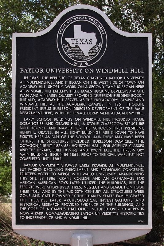
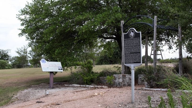
Baylor University on Windmill Hill
Early school buildings on Windmill Hill included frame dormitories and Graves Hall, a stone classroom structure built 1849-51 and named for the school's first president, Henry L. Graves. In all, eight buildings are known to have existed here as part of the school, and there may have been others. The structures included: Burleson Domicile, "The Octagon," built 1856-58; Houston Hall, for science classes and the library, built 1859-62; and Tryon Hall, the three-story main building, begun in 1861, prior to the Civil War, but not completed until 1882.
Baylor University showed early promise at Independence, but facing declining enrollment and economic concerns, trustees voted to merge with Waco University, abandoning this site by 1886. Crane College and an orphanage for African American boys later utilized the buildings, but the efforts were short-lived. Fires, neglect and demolition took their toll, and by the mid-20th century all structures were gone and cattle owned by the Charles Klatte family grazed the hillside. Later archeological investigations and historical research provided evidence of the buildings, and the core of a campus that once included over 40 acres is now a park, commemorating Baylor University's historic ties to Independence and Windmill Hill.
Erected 2006 by Texas Historical Commission. (Marker Number 13680.)
Topics. This historical marker is listed in this topic list: Education. A significant historical year for this entry is 1845.
Location. 30° 18.925′ N, 96° 20.788′ W. Marker is in Independence, Texas, in Washington County. Marker is on Sam Houston Road (County Highway 69) 0.1 miles south of Hood Hotel Road, on the right when traveling north. Touch for map. Marker is in this post office area: Brenham TX 77833, United States of America. Touch for directions.
Other nearby markers. At least 8 other markers are within walking distance of this marker. Baylor University (here, next to this marker); Tryon Hall (within shouting distance of this marker); College Well: of Windmill Hill (within shouting distance of this marker); Baylor University for Boys (within shouting distance of this marker); General Sam Houston (about 300 feet away, measured in a direct line); Bell Tower (about 400 feet away); Robert Emmett Bledsoe Baylor (about 400 feet away); Grave Site of R.E.B. Baylor (about 400 feet away). Touch for a list and map of all markers in Independence.
Also see . . . History of Baylor at Independence. (Submitted on June 13, 2018, by Larry D. Moore of Del Valle, Texas.)
Credits. This page was last revised on November 3, 2021. It was originally submitted on June 12, 2018, by Larry D. Moore of Del Valle, Texas. This page has been viewed 298 times since then and 39 times this year. Photos: 1, 2. submitted on June 12, 2018, by Larry D. Moore of Del Valle, Texas. • Andrew Ruppenstein was the editor who published this page.

