Near Mt. Morris in Wyoming County, New York — The American Northeast (Mid-Atlantic)
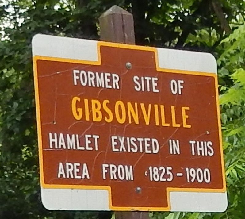
Former Site of Gibsonville
area from 1825-1900
Erected by New York State Parks, Recreation & Historic Preservation.
Topics. This historical marker is listed in these topic lists: Charity & Public Work • Parks & Recreational Areas • Settlements & Settlers. A significant historical year for this entry is 1825.
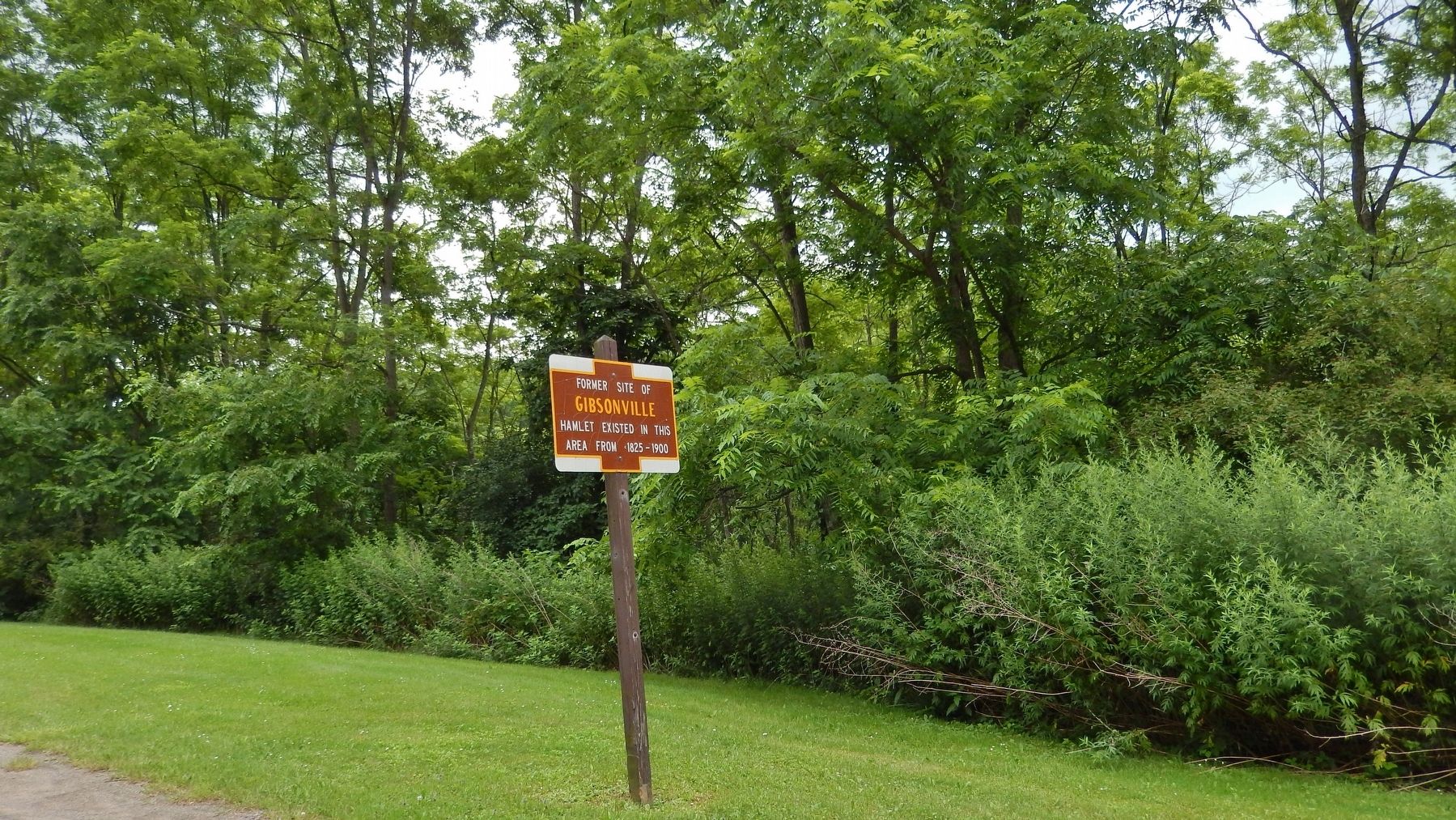
Location. 42° 42.126′ N, 77° 56.256′ W. Marker is near Mt. Morris, New York, in Wyoming County. Marker is on Letchworth Park Road, 3.7 miles south of Mt. Morris Road (County Route 36), on the left when traveling south. Marker is located inside Letchworth State Park, south of the Mt. Morris entrance from Mt. Morris Road. Touch for map. Marker is in this post office area: Mount Morris NY 14510, United States of America. Touch for directions.
Other nearby markers. At least 8 other markers are within 3 miles of this marker, measured as the crow flies. The Civilian Conservation Corps (about 700 feet away, measured in a direct line); Cabin Area C & Caretaker's Cabin (approx. 0.9 miles away); Gardeau Tract (approx. 1.7 miles away); Mount Morris Dam Commemorative Kiosk (approx. 2.6 miles away); Why Was This Dam Built? (approx. 2.6 miles away); Dam Facts (approx. 2.6 miles away); The Largest Dry Bed Dam East of the Mississippi River (approx. 2.6 miles away); Mt. Morris Dam (approx. 2.7 miles away).
Also see . . .
1. Gibsonville. Glimpses of the Past website entry:
In the 1840's the grist mill was converted to a paper mill which made fine paper using remnant rags from the Perry knitting mills. The mill burned in l894 and was not rebuilt. The village gradually faded from the records and was finally gone by the time the land was acquired as part of the park. In 1933 the area was occupied by a CCC Camp with numerous buildings to house the corps members. The landscape was changed markedly by road and bridge construction and today the remaining evidence of Gibsonville is the chimney of the CCC dining hall and, a short distance south, one remaining residence that houses the Camping Area Caretaker at the Perry Entrance. (Submitted on June 15, 2018, by Cosmos Mariner of Cape Canaveral, Florida.)
2. Gibsonville Trail. CNY Hiking website entry:
Trail #19 at Letchworth is known as the Gibsonville Trail because it winds in the area where the small hamlet of Gibsonville once stood. This trail features an old CCC camp from the 1940s, which includes the remains of an old well as well as the fireplace remains of the Officer's Quarters. (Submitted on June 15, 2018, by Cosmos Mariner of Cape Canaveral, Florida.)
Credits. This page was last revised on December 9, 2023. It was originally submitted on June 15, 2018, by Cosmos Mariner of Cape Canaveral, Florida. This page has been viewed 507 times since then and 61 times this year. Photos: 1, 2. submitted on June 15, 2018, by Cosmos Mariner of Cape Canaveral, Florida. • Andrew Ruppenstein was the editor who published this page.

