Arsenal in San Antonio in Bexar County, Texas — The American South (West South Central)
King William Neighborhood
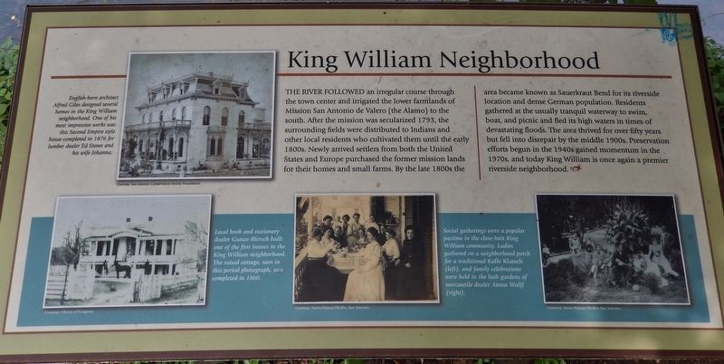
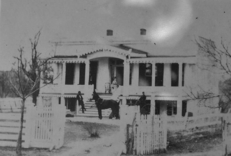
The river followed an irregular course through the town center and irrigated the lower farmlands of Mission San Antonio de Valero (the Alamo) to the south. After the mission was secularized 1793, the surrounding fields were distributed to Indians and other local residents who cultivated them until the early 1800s. Newly arrived settlers from both the United States and Europe purchased the former mission lands for their homes and small farms. By the late 1800s the area became known as Sauerkraut Bend for its riverside location and dense German population. Residents gathered at the usually tranquil waterway to swim, boat, and picnic and fled its high waters in times of devastating floods. The area thrived for over fifty years but fell into disrepair by the middle 1900s. Preservation efforts begun in the 1940s gained momentum in the 1970s, and today King William is once again a premier riverside neighborhood.
Topics. This historical marker is listed in these topic lists: Architecture • Industry & Commerce • Settlements & Settlers.
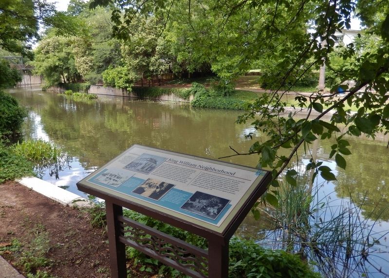
Location. 29° 24.822′ N, 98° 29.702′ W. Marker is in San Antonio, Texas, in Bexar County. It is in Arsenal. Marker can be reached from East Johnson Street west of King William Street, on the right when traveling west. Marker is located on the east bank of the San Antonio River Walk north of the Johnson Street Bridge. Touch for map. Marker is in this post office area: San Antonio TX 78204, United States of America. Touch for directions.
Other nearby markers. At least 8 other markers are within walking distance of this marker. Elias and Lucy Edmonds House (about 300 feet away, measured in a direct line); J.M. and Birdie Nix House (about 300 feet away); Norton-Polk-Mathis House (about 300 feet away); Old Edward Steves House (about 400 feet away); Edward Steves Homestead (about 400 feet away); The Hugman House (about 600 feet away); Biesenbach House (about 600 feet away); Chabot House (about 600 feet away). Touch for a list and map of all markers in San Antonio.
Related markers. Click here for a list of markers that are related to this marker. King William Historic District
Also see . . .
1. King William Historic District. The King William Historic District is just south of the central business district of San Antonio. It comprises parts of some twenty-two blocks with seventy-nine historic structures, most dating from the second half of the nineteenth century. The King William area became the residential heart of the city's thriving German community. During the decades after the Civil War, many of the city's German business elite built houses there, among them the Groos, Joske, Kalteyer, and Steves families. Prominent non-German residents included family names like Chabot, Van Derlip, Oge, James, Norton,
Photographed By Courtesy: San Antonio Conservation Society Foundation
2. Marker detail: Edward Steves House
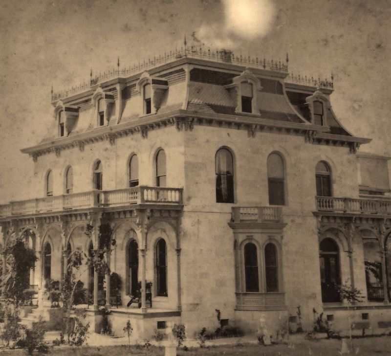
English-born architect Alfred Giles designed several homes in the King William neighborhood. One of his most impressive works was this Second Empire style house completed in 1876 for lumber dealer Edward Steves and his wife Johanna.
2. King William Area - Map and Walking Tour. (This link presents a map and detailed walking tour guide for most of the individual edifices and houses in the King William Historic District.) (Submitted on June 17, 2018, by Cosmos Mariner of Cape Canaveral, Florida.)
Photographed By Courtesy: Maria Watson Pfeiffer, San Antonio
4. Marker detail: Social & Family gatherings
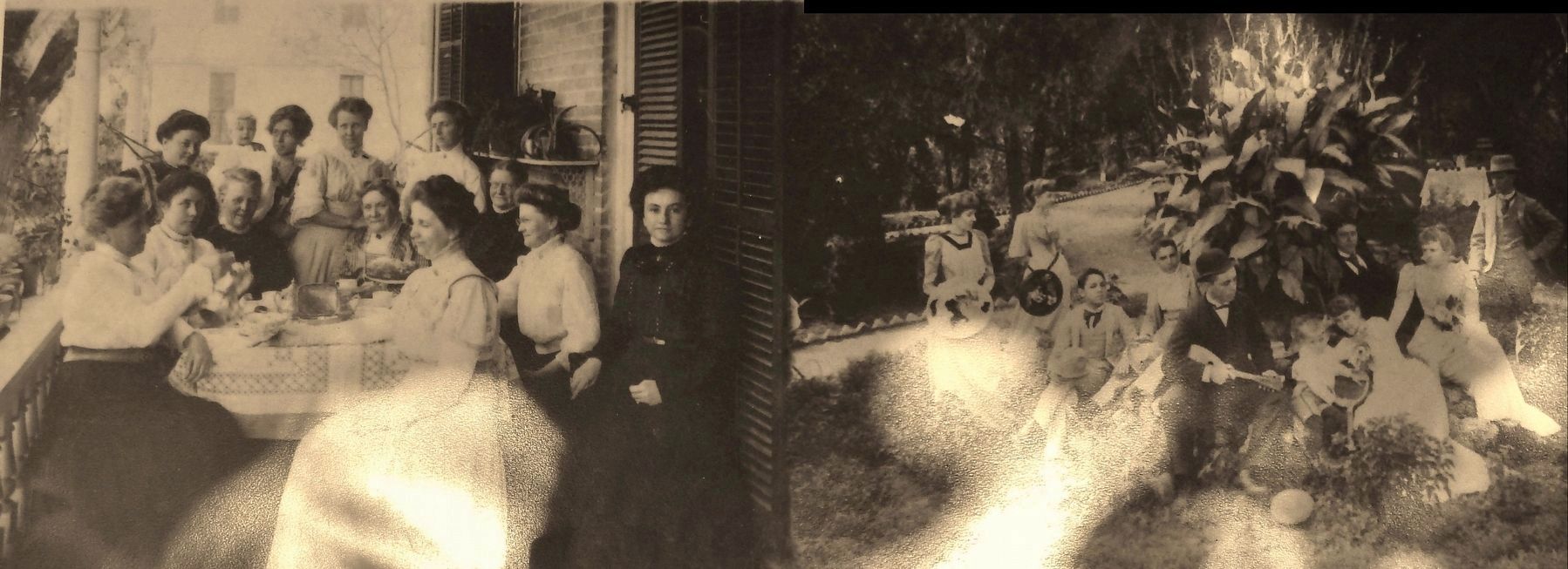
Social gatherings were a popular pastime in the close-knit King William community. Ladies gathered on a neighborhood porch for a traditional Kaffe Klatsch (left), and family celebrations were held in the lush gardens of mercantile dealer Anton Wulff (right).
Credits. This page was last revised on February 2, 2023. It was originally submitted on June 17, 2018, by Cosmos Mariner of Cape Canaveral, Florida. This page has been viewed 397 times since then and 44 times this year. Photos: 1, 2, 3, 4, 5, 6. submitted on June 17, 2018, by Cosmos Mariner of Cape Canaveral, Florida. • Bernard Fisher was the editor who published this page.
