Wallingford in Rutland County, Vermont — The American Northeast (New England)
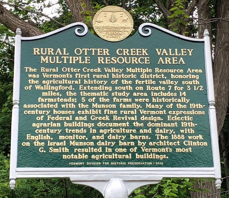
Rural Otter Creek Valley Multiple Resource Area
Inscription.
The Rural Otter Creek Valley Multiple Resource Area was Vermontís first rural historic district, honoring the agricultural history of the fertile valley south of Wallingford. Extending south on Route 7 for 3½ miles, the thematic study area includes 14 farmsteads; 5 of the farms were historically associated with the Munson family. Many of the 19th-century houses exhibit fine rural Vermont expressions of Federal and Greek Revival design. Eclectic agrarian buildings document the dominant 19th-century trends in agriculture and dairy, with English, monitor, and dairy barns. The 1888 work on the Israel Munson dairy barn by architect Clinton G. Smith resulted in one of Vermontís most notable agricultural buildings.
Erected 2018 by Vermont Division for Historic Preservation.
Topics. This historical marker is listed in these topic lists: Agriculture • Architecture.
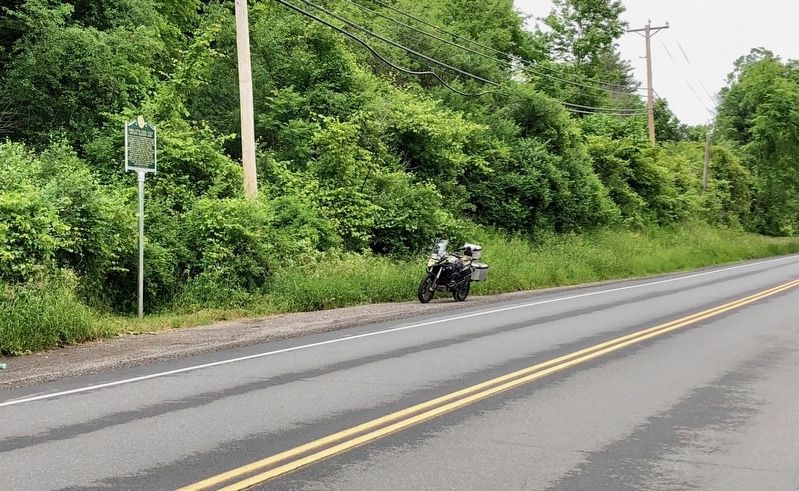
Location. 43° 27.513′ N, 72° 58.976′ W. Marker is in Wallingford, Vermont, in Rutland County. Marker is on U.S. 7, 0.1 miles south of Waldo Lane when traveling south. Touch for map. Marker is in this post office area: Wallingford VT 05773, United States of America. Touch for directions.
Other nearby markers. At least 8 other markers are within 7 miles of this marker, measured as the crow flies. Old Stone Shop (approx. ĺ mile away); Wallingford Revolutionary War Memorial (approx. 0.8 miles away); Ralph H. Pickett Veterans Memorial Park (approx. 0.9 miles away); Paul P. Harris (approx. 1.1 miles away); Kingsley Grist Mill (approx. 5 miles away); John Porter Bowman and Laurel Hall / Laurel Glen Mausoleum (approx. 5Ĺ miles away); Ira Town Hall c.1800 (approx. 6.6 miles away); War Memorial (approx. 6.6 miles away). Touch for a list and map of all markers in Wallingford.
Credits. This page was last revised on June 19, 2018. It was originally submitted on June 18, 2018, by Dennis Gilkenson of Saxtons River, Vermont. This page has been viewed 188 times since then and 9 times this year. Photos: 1, 2. submitted on June 18, 2018, by Dennis Gilkenson of Saxtons River, Vermont. • Bill Pfingsten was the editor who published this page.

