Anderson in Grimes County, Texas — The American South (West South Central)
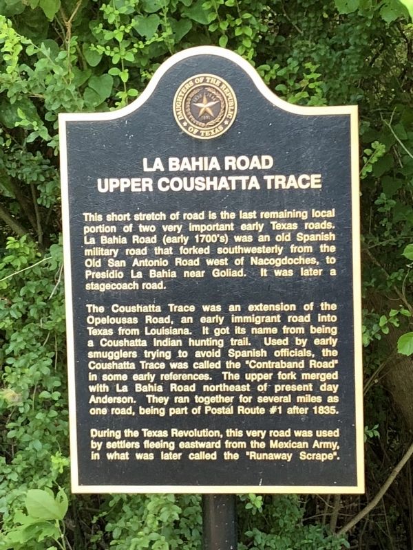
La Bahia Road
Upper Coushatta Trace
This short stretch of road is the last remaining local portion of two very important early Texas roads. La Bahia Road (early 1700's) was an old Spanish military road that forked southwesterly from the Old San Antonio Road west of Nacogdoches, to Presídio La Bahia near Goliad. It was later a stagecoach road.
The Coushatta Trace was an extension of the Opelousas Road, an early immigrant road into Texas from Louisiana. It got its name from being a Coushatta Indian hunting trail. Used by early smugglers trying to avoid Spanish officials, the Coushatta Trace was called the "Contraband Road" in some early references. The upper fork merged with La Bahia Road northeast of present day Anderson. They ran together for several miles as one road, being part of Postal Route #1 after 1835.
During the Texas Revolution, this very road was used by settlers fleeing eastward from the Mexican Army, in what was later called the "Runaway Scrape".
Erected by Daughters of the Republic of Texas.
Topics. This historical marker is listed in these topic lists: Roads & Vehicles • War, Texas Independence.
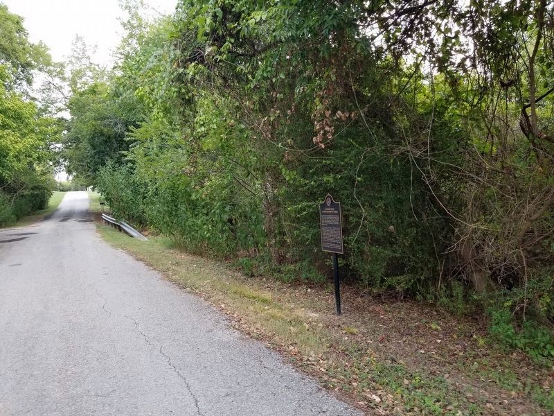
Location. 30° 29.172′ N, 95° 59.088′ W. Marker is in Anderson, Texas, in Grimes County. Marker is on Fanthorp Street, 0.1 miles south of Apalonia Avenue (Farm to Market Road 1774), on the right when traveling north. Touch for map. Marker is in this post office area: Anderson TX 77830, United States of America. Touch for directions.
Other nearby markers. At least 8 other markers are within walking distance of this marker. Rocky Creek Bridge (about 600 feet away, measured in a direct line); Steinhagen Log Cabin (approx. 0.2 miles away); In Memory of Jesse Grimes and Mathew Caldwell (approx. 0.2 miles away); Grimes County Courthouse (approx. 0.2 miles away); Veterans Memorial (approx. 0.2 miles away); Grimes County (approx. 0.2 miles away); Fanthorp Inn (approx. ¼ mile away); Grimes County, C.S.A. (approx. ¼ mile away). Touch for a list and map of all markers in Anderson.
Also see . . .
1. La Bahia Road - The Handbook of Texas Online. Texas State Historical Association (TSHA) (Submitted on June 19, 2018, by Brian Anderson of Humble, Texas.)
2. Upper Coushatta Trace - The Handbook of Texas Online. Texas State Historical Association (TSHA) (Submitted on June 19, 2018, by Brian Anderson of Humble, Texas.)
Credits. This page was last revised on October 13, 2020. It was originally submitted on June 19, 2018, by Brian Anderson of Humble, Texas. This page has been viewed 470 times since then and 59 times this year. Photos: 1. submitted on June 19, 2018, by Brian Anderson of Humble, Texas. 2. submitted on October 13, 2020, by James Hulse of Medina, Texas. • Andrew Ruppenstein was the editor who published this page.

