Gold River in Sacramento County, California — The American West (Pacific Coastal)
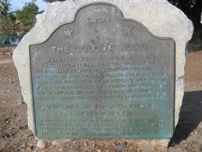
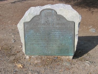
The Coloma Road
Erected 1960 by The California State Parks Commission in cooperation with The Sacramento County Historical Society and The Grand Parlors, Native Sons and Native Daughters of the Golden West. August 14, 1960. (Marker Number 746.)
Topics and series. This historical marker is listed in these topic lists: Exploration • Roads & Vehicles • Settlements & Settlers. In addition, it is included in the California Historical Landmarks, and the Native Sons/Daughters of the Golden West series lists. A significant historical month for this entry is January 1848.
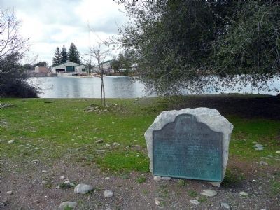
Location. 38° 38.061′ N, 121° 13.019′ W. Marker is in Gold River, California, in Sacramento County. Marker is located on the west side of the parking lot at the Nimbus Flat Boat Launching facility at Lake Natoma. Gold River,Ca. Touch for map. Marker is in this post office area: Rancho Cordova CA 95670, United States of America. Touch for directions.
Other nearby markers. At least 8 other markers are within 3 miles of this marker, measured as the crow flies. Heroes in the Sky (about 700 feet away, measured in a direct line); The Treasured American River (approx. half a mile away); We Will Not Forget... (approx. 1.1 miles away); In Memory of All American Veterans (approx. 1.1 miles away); Path of Honor (approx. 1.1 miles away); Natomas Consolidated of California (approx. 2.3 miles away); "Jim’s Bridge" (approx. 3 miles away); Southern Pacific Railroad Superintendent's House (approx. 3.1 miles away).
Regarding The Coloma Road. This site has been designated as a California Registered Historical Landmark (No.746)
Related markers. Click here for a list of markers that are related to this marker. Other Coloma Road markers in El Dorado and Sacramento Counties.
Credits. This page was last revised on October 4, 2020. It was originally submitted on September 28, 2008, by Syd Whittle of Mesa, Arizona. This page has been viewed 1,811 times since then and 24 times this year. Photos: 1, 2. submitted on September 28, 2008, by Syd Whittle of Mesa, Arizona. 3. submitted on February 20, 2010, by Karen Key of Sacramento, California.


