Belize City, Belize — Central America
Mule Park
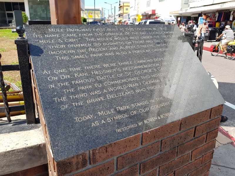
Mule Park was built at this location in 1912. Its name came from the drayage of the day, locally known as “mule & cart”. The mules would rest under the trees while their draymen did business on Front and Back Streets (modern day Regent and Albert Streets, respectively). This small park was also a popular gathering spot.
At one time there were three cannons displayed in the park. On Dr. Karl Heusner’s recommendation, two cannons used in the famous Battle of St. George’s Caye were mounted in the park to commemorate this historic 1798 battle. The third was a World War I German cannon in recognition of the brave Belizeans who proudly fought that war.
Today, Mule Park stands in the heart of Belize City as a symbol of our country’s rich history.
Restored by Bowen & Bowen, Ltd. in 2011.
Erected 2011 by Bowen & Bowen, Ltd.
Topics. This historical marker is listed in these topic lists: Industry & Commerce • Parks & Recreational Areas • Roads & Vehicles • Wars, Non-US. A significant historical year for this entry is 1912.
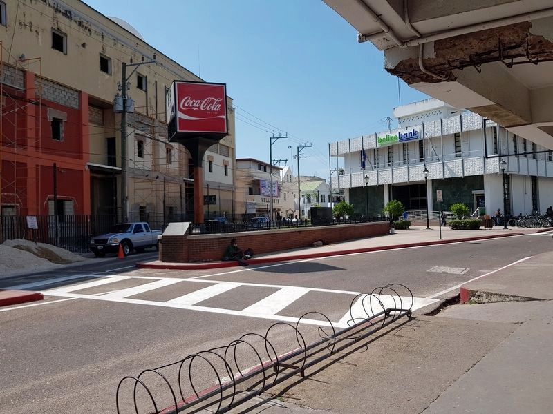
Location. 17° 29.691′ N, 88° 11.227′ W. Marker is in Belize City, Belize. Marker is at the intersection of Albert Street and Regent Street, on the left when traveling south on Albert Street. Touch for map. Marker is in this post office area: Belize City, Belize 7MHZ8 KWG3V, Belize. Touch for directions.
Other nearby markers. At least 6 other markers are within 14 kilometers of this marker, measured as the crow flies. Antonio Soberanis Gomez (within shouting distance of this marker); Death of William Hart Bennett (about 120 meters away, measured in a direct line); Belize National World War I Cenotaph (approx. half a kilometer away); British Honduras Territorial Force Memorial (approx. 0.6 kilometers away); Saint John's Anglican Cathedral (approx. 0.7 kilometers away); The Belize Defence Force Fallen (approx. 13.6 kilometers away).
Credits. This page was last revised on June 20, 2018. It was originally submitted on June 20, 2018, by J. Makali Bruton of Accra, Ghana. This page has been viewed 237 times since then and 29 times this year. Photos: 1, 2. submitted on June 20, 2018, by J. Makali Bruton of Accra, Ghana.

