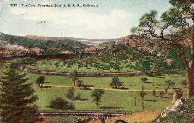
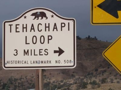
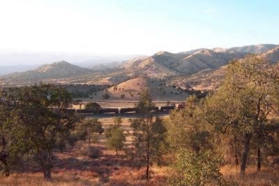
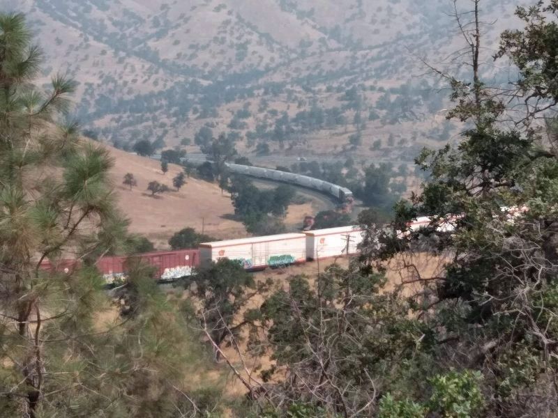
Near Tehachapi in Kern County, California — The American West (Pacific Coastal)
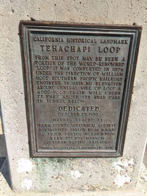
Tehachapi Loop
Erected 1953 by The Kern County Historical Society Bakersfield Parlor No.42 N.S.G.W., El Tejon Parlor N.D.G.W., Kern County Museum, Southern Pacific Railroad. (Marker Number 508.)
Topics and series. This historical marker is listed in this topic list: Railroads & Streetcars. In addition, it is included in the California Historical Landmarks, the Chinese Heritage Sites of the American West, the Native Sons/Daughters of the Golden West, and the Southern Pacific Railroad series lists. A significant historical year for this entry is 1876.
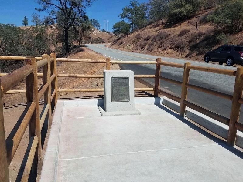
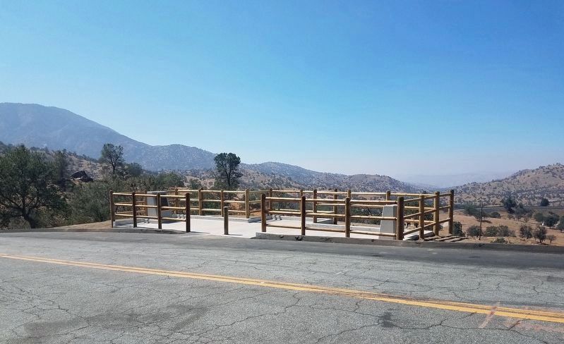
Location. 35° 11.707′ N, 118° 32.081′ W. Marker is near Tehachapi, California, in Kern County. Marker is on Woodford-Tehachapi Road, 3.2 mi E of Keene exit, on the left when traveling east. Touch for map. Marker is in this post office area: Keene CA 93531, United States of America. Touch for directions.
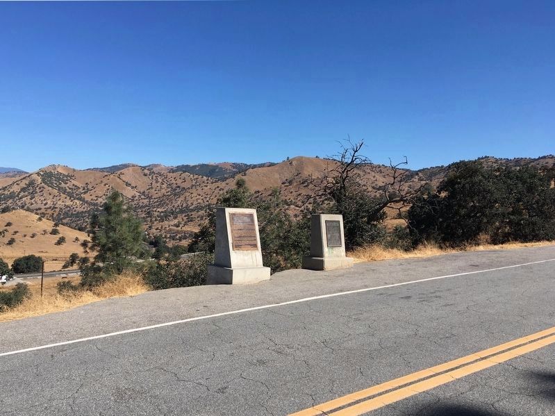
Other nearby markers. At least 8 other markers are within 5 miles of this marker, measured as the crow flies. Tehachapi Pass Railroad Line (a few steps from this marker); The Cross at the Loop (approx. 0.3 miles away); The Great Flood of 1932 and Engine No. 3834 (approx. ¾ mile away); Cesar E. Chavez National Monument (approx. 2.4 miles away); A Humble Home (approx. 2½ miles away); Helen's Park (approx. 2½ miles away); Nüwa - Kawaiisu People (approx. 4 miles away); "Old Town" (approx. 4.2 miles away). Touch for a list and map of all markers in Tehachapi.
More about this marker. This site is California Historical Landmark No. 508 and a National Historic Civil Engineering Landmark.
Credits. This page was last revised on September 8, 2022. It was originally submitted on September 28, 2008, by Syd Whittle of Mesa, Arizona. This page has been viewed 3,470 times since then and 37 times this year. Last updated on May 26, 2019, by Craig Baker of Sylmar, California. Photos: 1. submitted on January 5, 2019, by Mandy Kirby of Clovis, California. 2, 3. submitted on August 9, 2021, by Denise Boose of Tehachapi, California. 4. submitted on September 21, 2019, by Craig Baker of Sylmar, California. 5. submitted on September 28, 2008, by Syd Whittle of Mesa, Arizona. 6. submitted on December 4, 2008, by Syd Whittle of Mesa, Arizona. 7. submitted on January 16, 2012, by Denise Boose of Tehachapi, California. 8. submitted on September 27, 2012, by James King of San Miguel, California. 9. submitted on January 5, 2019, by Mandy Kirby of Clovis, California. • Andrew Ruppenstein was the editor who published this page.
