Downtown in San Antonio in Bexar County, Texas — The American South (West South Central)
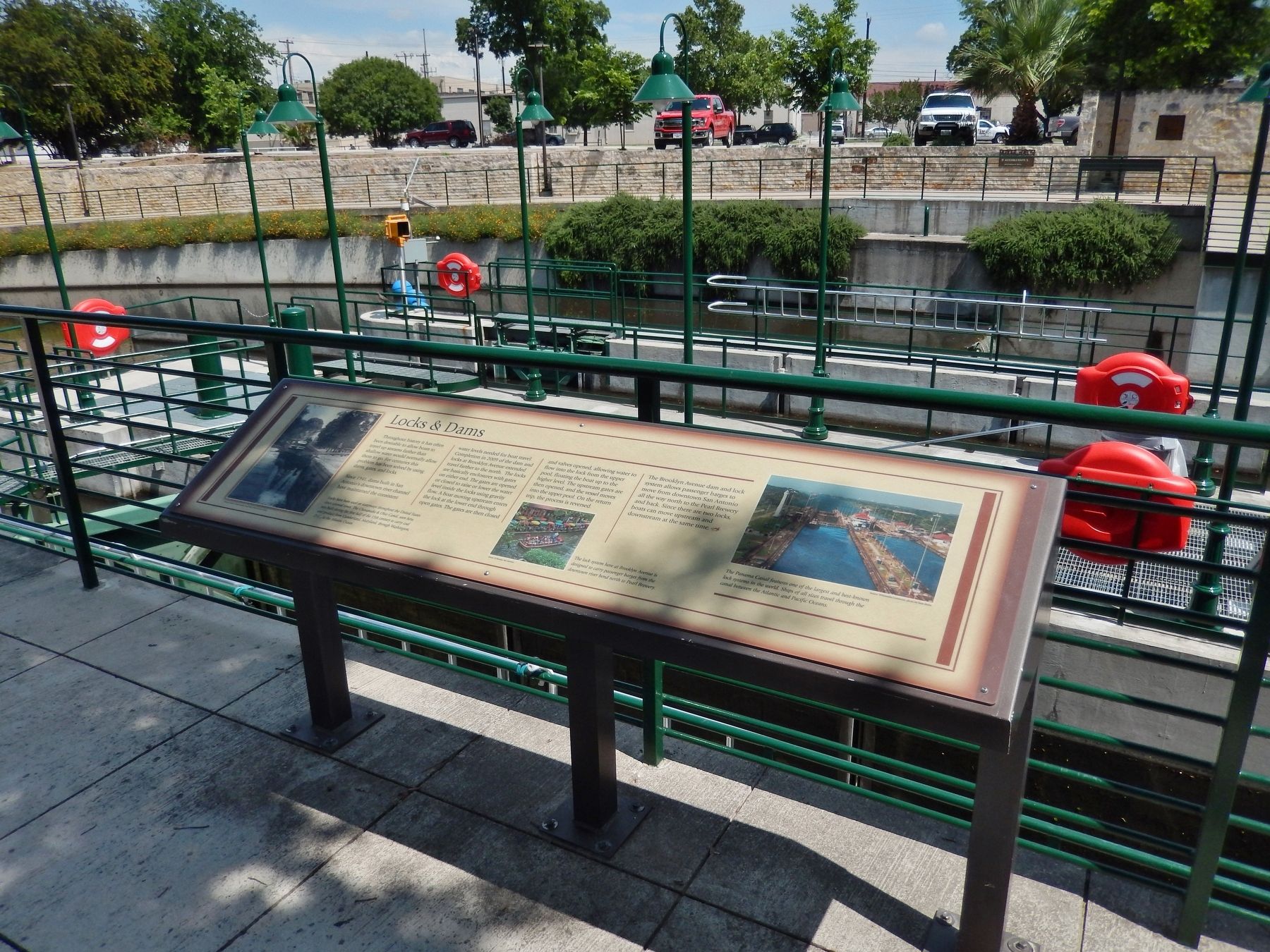
Locks & Dams
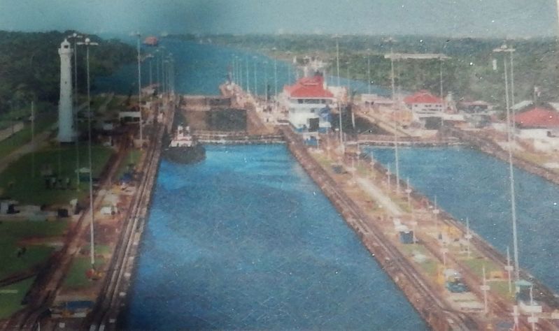
Throughout history it has often been desirable to allow boats to travel up streams farther than shallow water would normally allow them to go. For centuries this problem has been solved by using dams, gates, and locks.
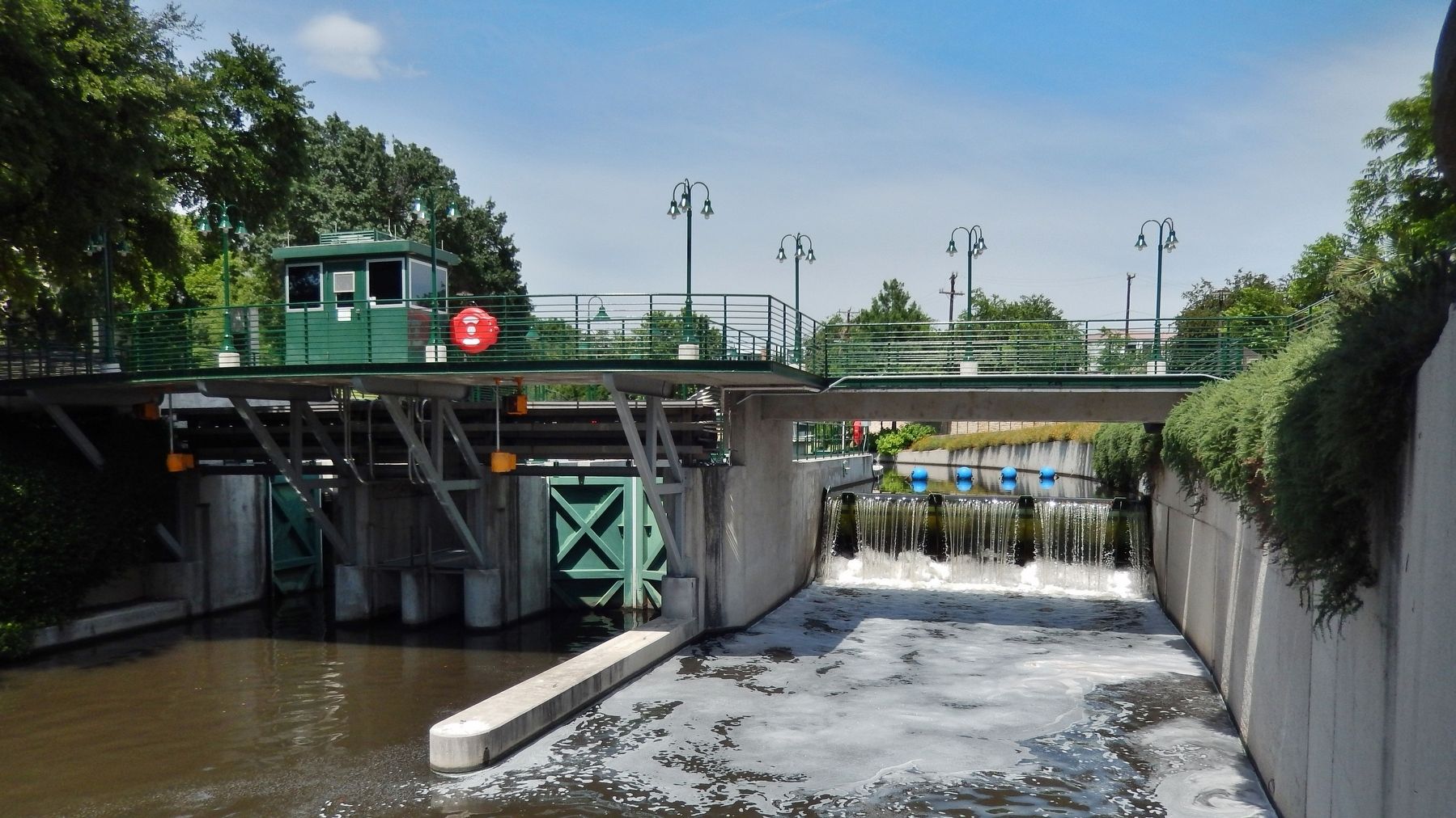
Since 1941, dams built in San Antonio's downtown river channel have maintained the consistent water levels needed for boat travel. Completion in 2009 of the dam and locks at Brooklyn Avenue extended travel farther to the north. The locks are basically enclosures with gates on either end. The gates are opened or closed to raise or lower the water level inside the locks using gravity flow. A boat moving upstream enters the lock at the lower end through open gates. The gates are then closed and valves opened, allowing water to flow into the lock from the upper pool, floating the boat up to the higher level. The upstream gates are then opened, and the vessel moves into the upper pool. On the return trip, the process is reversed.
The Brooklyn Avenue dam and lock system allows passenger barges to move from downtown San Antonio all the way north to the Pearl Brewery and back. Since there are two locks, boats can move upstream and downstream at the same time.
Topics. This historical marker is listed in these topic lists: Man-Made Features • Waterways & Vessels. A significant historical year for this entry is 1941.
Location. 29° 26.02′ N, 98° 29.079′ W. Marker is in San Antonio, Texas, in Bexar County. It is in Downtown. Marker can be reached from Brooklyn Avenue north of Avenue B, on the right when traveling north. Marker is located on the San Antonio River Walk, overlooking the Brooklyn Avenue Locks. Marker can be accessed via a short walk from the 709 Avenue B Parking lot. Touch for map. Marker is at or near this postal address: 709 Avenue B, San Antonio TX 78215, United States of America. Touch for directions.
Other nearby markers. At least 8 other markers are within walking distance of this marker. Flooding & Dams (within shouting distance of this marker); O. Scott Petty (approx. 0.2 miles away); Petty House (approx. 0.2 miles away); Central Catholic High School (approx. 0.2 miles away); The River in the 1800's (approx. ¼ mile away); River Communities (approx. ¼ mile away); The River in the 1900s (approx. ¼ mile away); The San Antonio River (approx. ¼ mile away). Touch for a list and map of all markers in San Antonio.
Also see . . . San Antonio Riverwalk. Riverwalk website homepage (Submitted on October 18, 2022, by Larry Gertner of New York, New York.)

Courtesy National Capital Planning Commission, photo by Peter R. Penczer
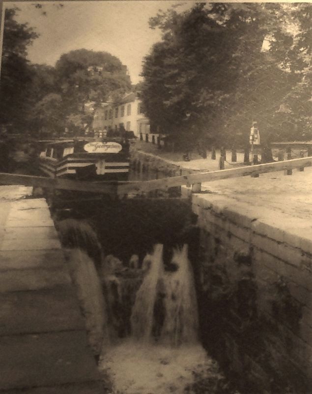
2. Marker detail: Chesapeake & Ohio Canal
Locks have been used on waterways throughout the United States since colonial times. The Chesapeake & Ohio Canal, seen here, was built during the first half of the 19th century to carry coal and produce from Cumberland, Maryland, through Washington, D.C., to the Atlantic Ocean.
Credits. This page was last revised on February 2, 2023. It was originally submitted on June 21, 2018, by Cosmos Mariner of Cape Canaveral, Florida. This page has been viewed 1,448 times since then and 106 times this year. Photos: 1, 2, 3, 4, 5. submitted on June 21, 2018, by Cosmos Mariner of Cape Canaveral, Florida. • Andrew Ruppenstein was the editor who published this page.


