Lecompton in Douglas County, Kansas — The American Midwest (Upper Plains)
Sheriff Samuel J. Jones
1827-1885
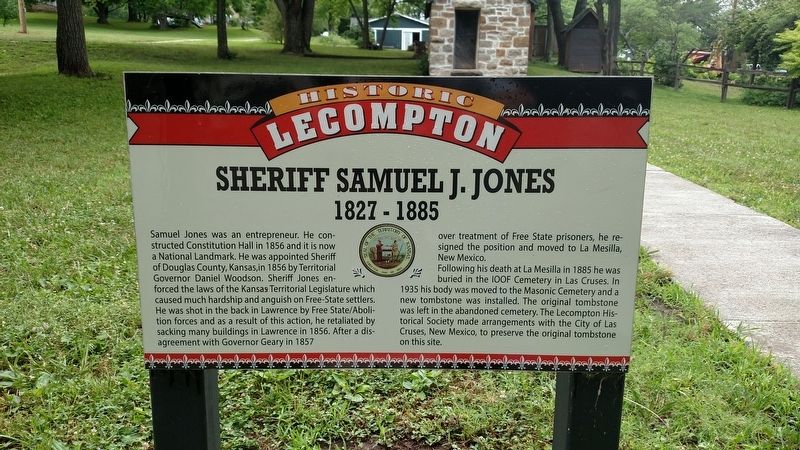
Samuel Jones was an entrepreneur. He constructed Constitution Hall in 1856 and it is now a National Landmark. He was appointed Sheriff of Douglas County, Kansas, in 1856 by Territorial Governor Daniel Woodson. Sheriff Jones enforced the laws of the Kansas Territorial Legislature which caused much hardship and anguish on Free-State settlers. He was shot in the back in Lawrence by Free State/Abolition forces and as a result of this action, he retaliated by sacking many buildings in Lawrence in 1856. After a disagreement with Governor Geary in 1857 over treatment of Free State prisoners, he resigned the position and moved La Mesilla, New Mexico.
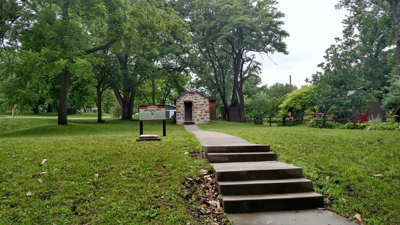
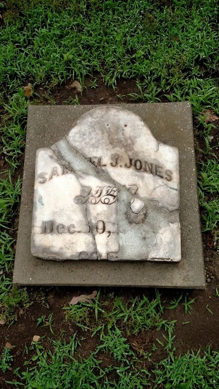
Following his death in La Mesilla in 1885 he was buried in the IOOF Cemetery in Las Cruses. In 1935 his body was moved to the Masonic Cemetery and a new tombstone was installed. The original tombstone was left in the abandoned cemetery. The Lecompton Historical Society made arrangements with the City of Las Cruses, New Mexico, to preserve the original tombstone on this site.
Topics. This historical marker is listed in these topic lists: Abolition & Underground RR • Cemeteries & Burial Sites • Law Enforcement. A significant historical year for this entry is 1856.
Location. 39° 2.733′ N, 95° 23.678′ W. Marker is in Lecompton, Kansas, in Douglas County. Marker is on Elmore Street, 0.1 miles south of East 3rd Street, on the right when traveling south. Touch for map. Marker is in this post office area: Lecompton KS 66050, United States of America. Touch for directions.
Other nearby markers. At least 8 other markers are within 7 miles of this marker, measured as the crow flies. Lecompton Constitution Hall (within shouting distance of this marker); Lane University (approx. 0.2 miles away); Democratic Headquarters (approx. ¼ mile away); Kansa Indians (approx. 3.1 miles away); Lecompton (approx. 3.6 miles away); Coon Point (approx. 3.6 miles away); First United Brethren in Christ Church in Kansas (approx. 5.3 miles away); Purple Heart Trail in Kansas (approx. 6.4 miles away). Touch for a list and map of all markers in Lecompton.
Also see . . . Samuel J. Jones. Kansapedia website entry (Submitted on May 23, 2022, by Larry Gertner of New York, New York.)
Credits. This page was last revised on May 23, 2022. It was originally submitted on June 23, 2018, by Mike Wintermantel of Pittsburgh, Pennsylvania. This page has been viewed 256 times since then and 11 times this year. Photos: 1, 2, 3. submitted on June 23, 2018, by Mike Wintermantel of Pittsburgh, Pennsylvania.


