Downtown in San Antonio in Bexar County, Texas — The American South (West South Central)
Houston Street
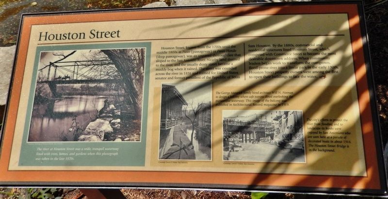
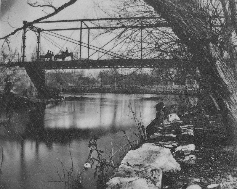
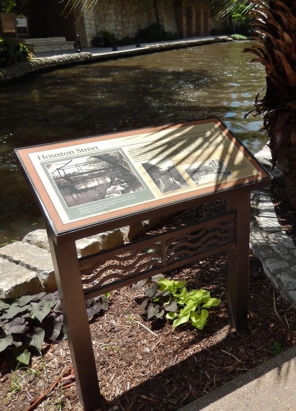
Houston Street, known from the 1700s until the middle 1800s as Paseo (passageway) or Paseo Hondo (deep passageway), was sloped to the San Antonio River. Nearby land drained to the river, and the usually dusty street became a muddy bog when it rained. The street was extended across the river in 1851 and named for United States senator and former president of the Republic of Texas Sam Houston. By the 1880s, commercial and residential structures lined Houston Street, which competed with Commerce Street to become the most desirable downtown address. When community leaders began work to transform the overgrown, flood-prone river into a linear park in the early 1900s, Houston Street property owners were among the first to open their buildings to face the water.
Topics. This historical marker is listed in these topic lists: Industry & Commerce • Parks & Recreational Areas • Roads & Vehicles • Waterways & Vessels.
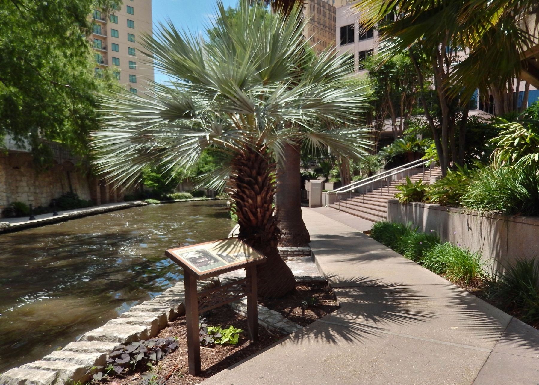
Location. 29° 25.603′ N, 98° 29.529′ W. Marker is in San Antonio, Texas, in Bexar County. It is in Downtown. Marker can be reached from East Houston Street west of North St. Mary's Street, on the right when traveling west. Marker is on the San Antonio River Walk, just north of East Houston Street, on the east side of the river. Touch for map. Marker is at or near this postal address: 175 East Houston Street, San Antonio TX 78205, United States of America. Touch for directions.
Other nearby markers. At least 8 other markers are within walking distance of this marker. Welcome to Historic Houston Street (within shouting distance of this marker); Travis Street Crossing (within shouting distance of this marker); The Hertzberg Clock (about 300 feet away, measured in a direct line); Old Military Headquarters (about 400 feet away); Site of De La Garza House, Gardens and Mint (about 400 feet away); Site of Old St. Mary's (about 500 feet away); Saint Mary's Church (about 500 feet away); Majestic Theatre (about 500 feet away). Touch for a list and map of all markers in San Antonio.
Also see . . . Houston Street. In 1882, store owners along neighboring Commerce Street rejected an attempt to widen the road to pave the way for mule-driven streetcars. The merchants and businessmen of the area reasoned that Commerce was too congested and developed to accommodate a widening for streetcars. The Maverick family and other Houston Street property owners jumped at the opportunity to attract more attention to their properties and, shortly thereafter, all streetcar traffic in the city was routed through Houston. Houston Street roared to life at the dawn of the streetcar age, a period that lasted for 55 years in San Antonio. The electrification of the streetcars
in 1890 further solidified its reputation as a clean, enjoyable, and accessible experience for shoppers. (Submitted on June 23, 2018, by Cosmos Mariner of Cape Canaveral, Florida.)
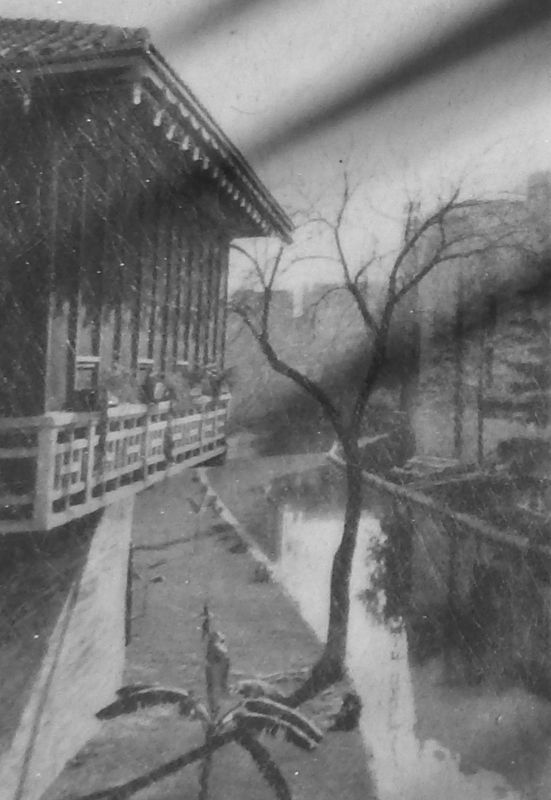
Photographed By Courtesy: Lewis F. Fisher, San Antonio
3. Marker detail: Balcony, 1919
The George Maverick family hired architect Will N. Noonan to design a balcony where café patrons dined overlooking the picturesque waterway. This image of the balcony was published in Architectural Record magazine in 1919.
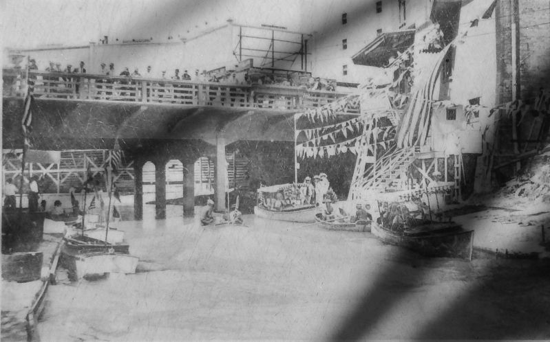
Photographed By Courtesy: Lewis F. Fisher, San Antonio
4. Marker detail: Houston Street Bridge parade, 1916
The city’s efforts to protect the river from flooding and to landscape its banks were enjoyed by San Antonians who are seen here at a parade of decorated boats in about 1916. The Houston Street Bridge is in the background.
Credits. This page was last revised on February 2, 2023. It was originally submitted on June 23, 2018, by Cosmos Mariner of Cape Canaveral, Florida. This page has been viewed 595 times since then and 110 times this year. Photos: 1, 2, 3, 4, 5, 6. submitted on June 23, 2018, by Cosmos Mariner of Cape Canaveral, Florida. • Bernard Fisher was the editor who published this page.
