Near Emmett in Gem County, Idaho — The American West (Mountains)
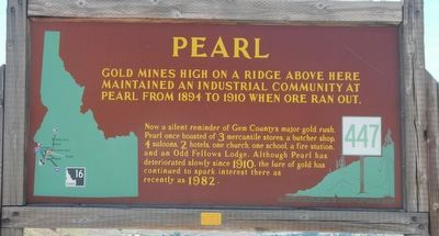
Pearl
Now a silent reminder of Gem County's major gold rush, Pearl once boasted of 3 mercantile stores, a butcher shop, 4 saloons, 2 hotels, one church, one school, a fire station, and an Odd Fellows Lodge. Although Pearl has deteriorated slowly since 1910, the lure of gold has continued to spark interest there as recently as 1982.
Erected by Idaho Department of Transportation. (Marker Number 447.)
Topics and series. This historical marker is listed in these topic lists: Industry & Commerce • Settlements & Settlers. In addition, it is included in the Idaho State Historical Society series list. A significant historical year for this entry is 1894.
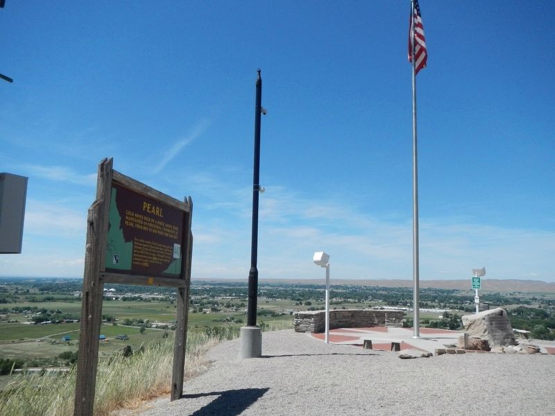
Location. 43° 50.642′ N, 116° 28.085′ W. Marker is near Emmett, Idaho, in Gem County. Marker is on State Highway 16 at milepost 111 near Old Freezeout/Jackass Gulch Road, on the right when traveling south. Touch for map. Marker is in this post office area: Emmett ID 83617, United States of America. Touch for directions.
Other nearby markers. At least 8 other markers are within 14 miles of this marker, measured as the crow flies. Freezeout Hill (within shouting distance of this marker); Black Canyon Dam (approx. 6.1 miles away); O.F. Short House (approx. 11.6 miles away); Violence is Avenged (approx. 13˝ miles away); Hostility Erupts Into Violence (approx. 13˝ miles away); To the Memory of the Pioneers (approx. 13˝ miles away); Peaceful Trading Turns Hostile (approx. 13˝ miles away); The Ward Massacre (approx. 13˝ miles away). Touch for a list and map of all markers in Emmett.

Photographed By Barry Swackhamer, May 3, 2018
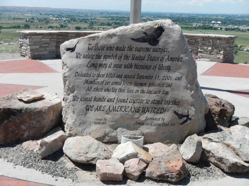
3. 911 Memorial
To those who made the supreme sacrifice,
We salute the symbol of the United States of America.
Long may it wave with blessings of liberty.
Dedicated to those killed and injured September 11, 2001, and
Members of our armed forces, firemen, policemen and
All others who lay their lives on the line each day.
We join hands and found courage to stand together.
WE ARE AMERICAN UNITED!
Sponsored by American Legion Post 49
Credits. This page was last revised on June 25, 2018. It was originally submitted on June 25, 2018, by Barry Swackhamer of Brentwood, California. This page has been viewed 265 times since then and 33 times this year. Photos: 1, 2, 3. submitted on June 25, 2018, by Barry Swackhamer of Brentwood, California.

