Nocona in Montague County, Texas — The American South (West South Central)
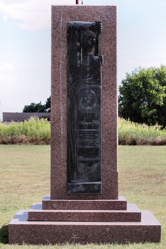
Spanish Fort
Spanish Fort
occupies the site of an
ancient Taovayas Indian
village.
Scene of first severe
defeat in Texas of Spanish
troops by Indians in 1759.
Named Fort Teodoro in 1778
by De Mezieres in honor of
Teodoro De Croix,
commander of the interior
provinces of Mexico.
Permanent white
settlements began in this
vicinity after 1850.
"Let the grandeur of the
pioneer be discerned in the
safety he has secured, in the
good he has accomplished,
in the civilization he has
established."
Erected 1936 by State of Texas. (Marker Number 5000.)
Topics and series. This historical marker is listed in these topic lists: Native Americans • Settlements & Settlers. In addition, it is included in the Texas 1936 Centennial Markers and Monuments series list. A significant historical year for this entry is 1859.
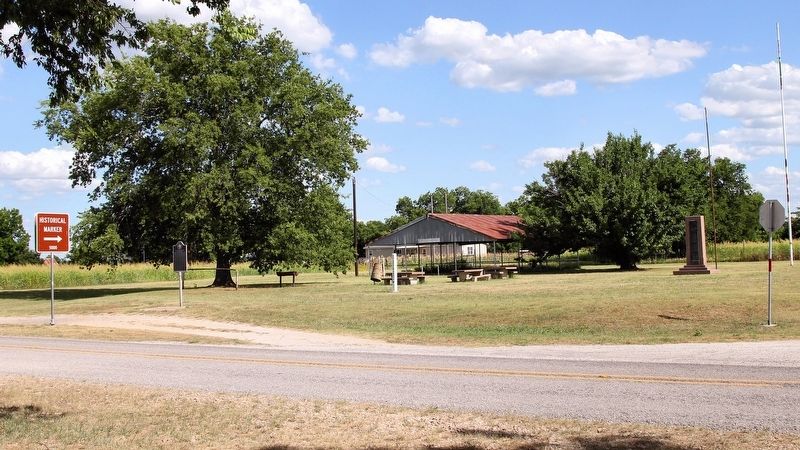
Location. 33° 56.713′ N, 97° 36.998′ W. Marker is in Nocona, Texas, in Montague County. Marker is at the intersection of 4th Street (Farm to Market Road 103 Spur) and Myrtle Street, on the right when traveling east on 4th Street. Touch for map. Marker is in this post office area: Nocona TX 76255, United States of America. Touch for directions.
Other nearby markers. At least 7 other markers are within 13 miles of this marker, measured as the crow flies. Site of the 1759 Taovayo Victory Over Spain (within shouting distance of this marker); Orr Community Veterans Memorial (approx. 8.2 miles away in Oklahoma); Illinois Bend School (approx. 8.7 miles away); Frontier Montague County Trails & Mail Routes (approx. 12.2 miles away); Red River Station / Texas Civil War Frontier Defense (approx. 12.2 miles away); Cotton Gin & Grist Millstones (approx. 12.2 miles away); Central Christian Church (approx. 12.4 miles away).
Credits. This page was last revised on July 3, 2018. It was originally submitted on June 30, 2018, by Larry D. Moore of Del Valle, Texas. This page has been viewed 499 times since then and 79 times this year. Photos: 1, 2. submitted on June 30, 2018, by Larry D. Moore of Del Valle, Texas. • Andrew Ruppenstein was the editor who published this page.

