White Bird in Idaho County, Idaho — The American West (Mountains)
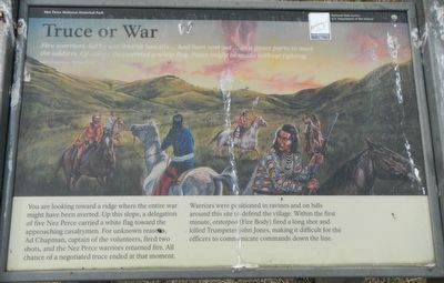
Truce or War
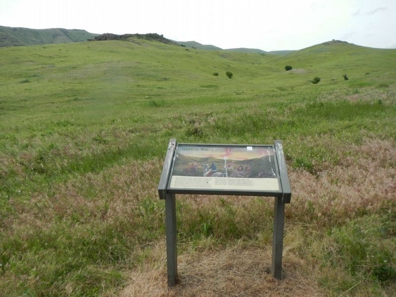
You are looking toward a ridge where the entire war might have been averted. Up this slope, a delegation of five Nez Perce carried a white flag toward the approaching cavalrymen. For unknown reasons, Ad Chapman, captain of the volunteers, fired two shots, and the Nez Perce warriors returned fire. All chance of a negotiated truce ended at that moment. Warriors were positioned in ravines and on hills around this site to defend the village. Within the first minute, otstotpoo (Fire Body) fired a long shot and killed Trumpeter John Jones, making it difficult for the officers to communicate commands down the line.
Erected by National Park Service, Nez Perce National Park.
Topics and series. This historical marker is listed in this topic list: Wars, US Indian. In addition, it is included in the The Nez Perce Trail series list. A significant historical date for this entry is June 17, 1877.
Location. 45° 46.962′ N, 116° 16.464′ W. Marker is in White Bird, Idaho, in Idaho County. Marker can be reached from Old Highway 95 near Two Moon Trail, on the left when traveling north. Touch for map. Marker is in this post office area: White Bird ID 83554, United States of America. Touch for directions.
Other nearby markers. At least 8 other markers are within 12 miles of this marker, measured as the crow flies. June 17, 1877 (about 500 feet away, measured in a direct line); Nez Perce War (approx. 1½ miles away); White Bird Battlefield (approx. 1½ miles away); Salmon River (approx. 4.3 miles away); White Bird Grade (approx. 4½ miles away); Camas Prairie (approx. 6.8 miles away); Gathering at Tipahxlee’whum (Tepahlewam) (approx. 9.3 miles away); Salmon River Canyon (approx. 11.7 miles away). Touch for a list and map of all markers in White Bird.
Credits. This page was last revised on August 8, 2018. It was originally submitted on June 30, 2018, by Barry Swackhamer of Brentwood, California. This page has been viewed 195 times since then and 15 times this year. Photos: 1, 2. submitted on June 30, 2018, by Barry Swackhamer of Brentwood, California.

