Broomfield in Broomfield County, Colorado — The American Mountains (Southwest)
Columbine Mine / Coal Field Country
Front
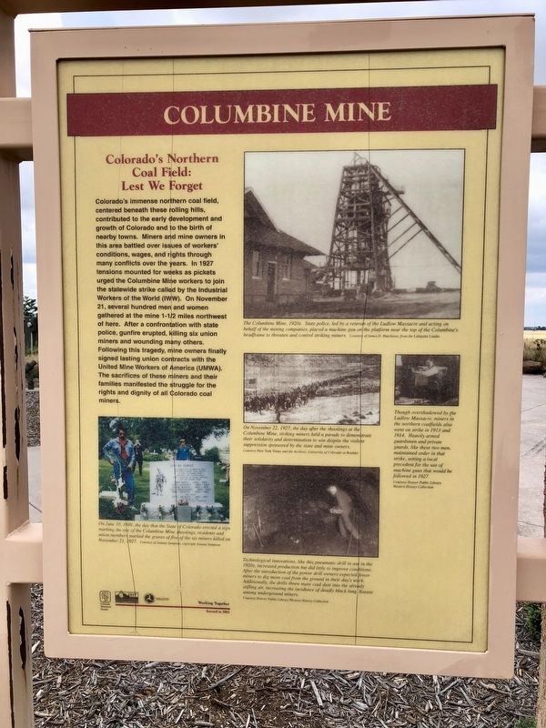
Colorado's Northern Coal Field: Lest We Forget
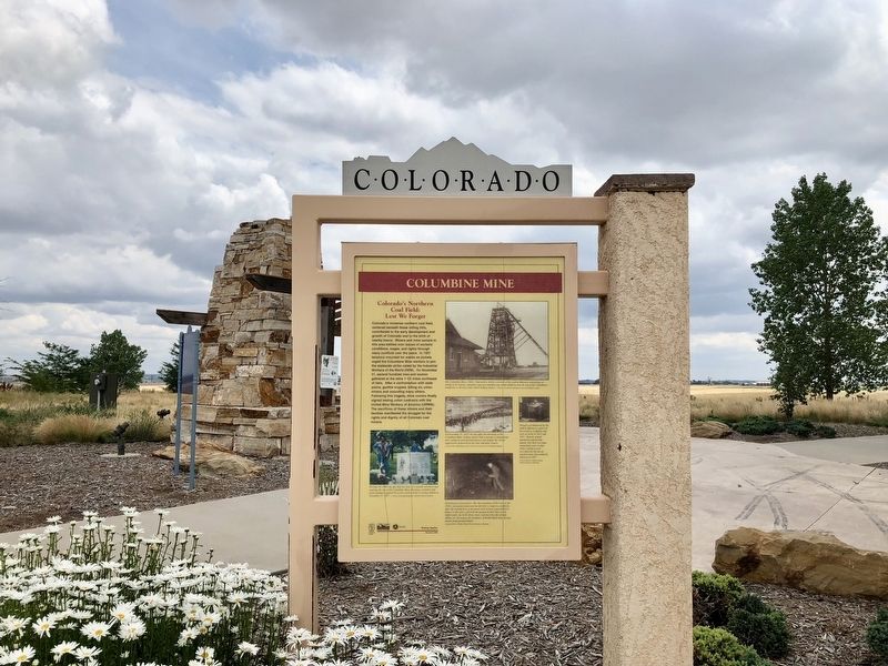
Colorado's immense northern coal field, centered beneath these rolling hills, contributed to the early development and growth of Colorado and to the birth of nearby towns. Miners and mine owners in this area battled over issues of workers' conditions, wages and rights through many conflicts over the years. In 1927 tensions mounted for weeks as pickets urged the Columbine Mine workers to join the statewide strike called by the Industrial Workers of the World (IWW). On November 21, several hundred men and women gathered at the mine, 1-1/2 miles northwest of here. After a confrontation with state police, gunfire erupted killing six union miners and wounding many others. Following this tragedy, mine owners finally signed lasting union contracts with the Union Mine Workers of America (UMWA). The sacrifice of these miners and their families manifested the struggle for the rights and dignity of all Colorado coal miners.
Rear
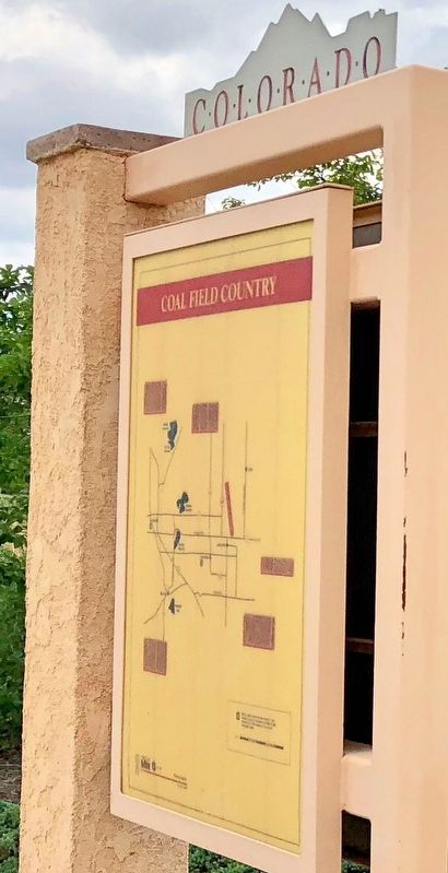
Coal Field Country
{Map of the events.}
Erected 2002 by the Colorado Historical Society, Colorado Department of Transportation.
Topics and series. This historical marker is listed in these topic lists: Disasters • Industry & Commerce • Notable Events. In addition, it is included in the Colorado - History Colorado series list. A significant historical date for this entry is November 21, 1927.
Location. 39° 59.998′ N, 105° 0.684′ W. Marker is in Broomfield, Colorado, in Broomfield County. Marker is on East Baseline Road (Colorado Route 7) 0.3 miles east of Mountain View Boulevard, on the right when traveling east. Located at a rest area that is part of the recreational trail system in this area. Touch for map. Marker is at or near this postal address: East Baseline Road, Broomfield CO 80023, United States of America. Touch for directions.
Other nearby markers. At least 8 other markers are within 5 miles of this marker, measured as the crow flies. Kettle Dry Goods Store (approx. 4.1 miles away); Padfield House (approx. 4.1 miles away); George Bermont House (approx. 4.1 miles away); City Hall (approx. 4.1 miles away); Miner's Museum (approx. 4.1 miles away); Colorado's Northern Coal Field (approx. 4.1 miles away); Joe Rodwick House (approx. 4.2 miles away); Peltier House (approx. 4.2 miles away).
Regarding Columbine Mine / Coal Field Country. Another memorial is located about 2 miles directly west, in the Lafayette Cemetery. Five of the six miners who were killed are buried in this old cemetery.
Also see . . .
1. The story of the murders at the Columbine Mine in 1927. (Submitted on July 1, 2018, by Mark Hilton of Montgomery, Alabama.)
2. Wikipedia article on the Columbine Mine Massacre. (Submitted on July 1, 2018, by Mark Hilton of Montgomery, Alabama.)
Credits. This page was last revised on August 3, 2023. It was originally submitted on July 1, 2018, by Mark Hilton of Montgomery, Alabama. This page has been viewed 638 times since then and 39 times this year. Photos: 1, 2, 3, 4. submitted on July 1, 2018, by Mark Hilton of Montgomery, Alabama.


