Mechanicsville in Hanover County, Virginia — The American South (Mid-Atlantic)
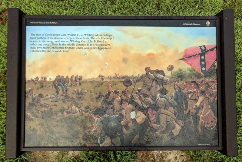
Whiting's Division
Richmond National Battlefield Park
Erected 2018 by Richmond National Battlefield Park, U.S. Department of the Interior.
Topics. This historical marker is listed in this topic list: War, US Civil. A significant historical date for this entry is June 27, 1862.
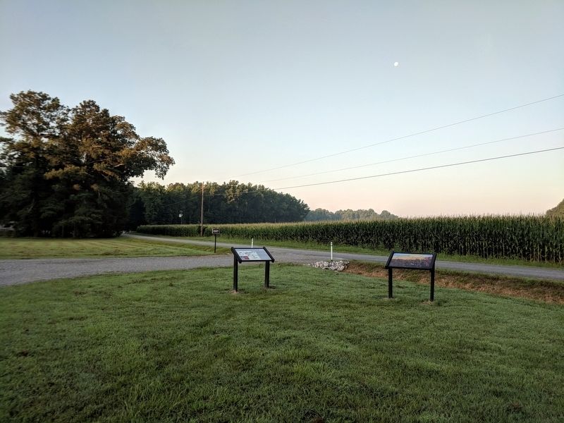
Location. 37° 34.792′ N, 77° 17.431′ W. Marker is in Mechanicsville, Virginia, in Hanover County. Marker is on Watt House Road (Virginia Route 718) 0.2 miles south of Cold Harbor Road (Route 156), on the left when traveling south. Touch for map. Marker is in this post office area: Mechanicsville VA 23111, United States of America. Touch for directions.
Other nearby markers. At least 8 other markers are within walking distance of this marker. From Stalemate to Breakthrough (here, next to this marker); 11th Mississippi Monument (within shouting distance of this marker); Seven Days’ Battles (approx. 0.2 miles away); New Cold Harbor (approx. ¼ mile away); Powerful Position (approx. 0.3 miles away); The Battle Begins (approx. 0.4 miles away); Battle of Gaines' Mill (approx. 0.4 miles away); a different marker also named The Battle of Gaines’ Mill (approx. 0.4 miles away). Touch for a list and map of all markers in Mechanicsville.
Also see . . . Richmond National Battlefield Park. National Park Service (Submitted on July 2, 2018.)
Credits. This page was last revised on August 5, 2018. It was originally submitted on July 2, 2018, by Bernard Fisher of Richmond, Virginia. This page has been viewed 281 times since then and 12 times this year. Last updated on August 3, 2018, by Bradley Owen of Morgantown, West Virginia. Photos: 1, 2. submitted on July 2, 2018, by Bernard Fisher of Richmond, Virginia.

