Beachwood-Bluffton in Muskegon in Muskegon County, Michigan — The American Midwest (Great Lakes)
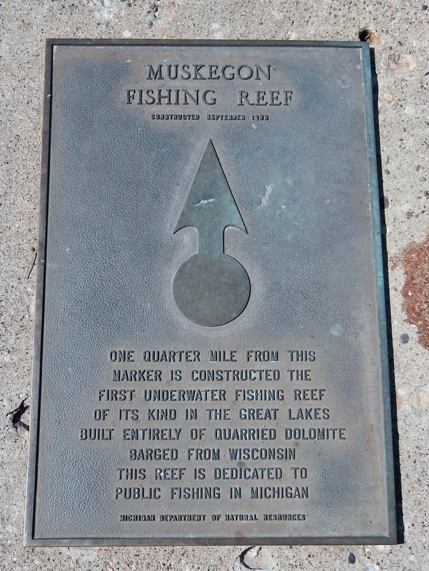
Muskegon Fishing Reef
Constructed September 1980
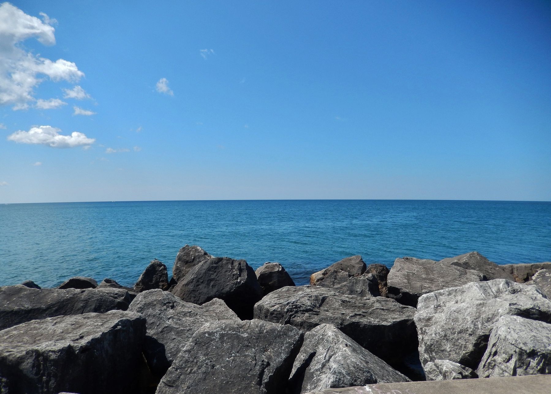
One quarter mile from this marker is constructed the first underwater fishing reef of its kind in the Great Lakes built entirely of quarried dolomite barged from Wisconsin. This reef is dedicated to public fishing in Michigan.
Erected by Michigan Department of Public Resources.
Topics. This historical marker is listed in these topic lists: Animals • Parks & Recreational Areas • Sports • Waterways & Vessels. A significant historical year for this entry is 1980.
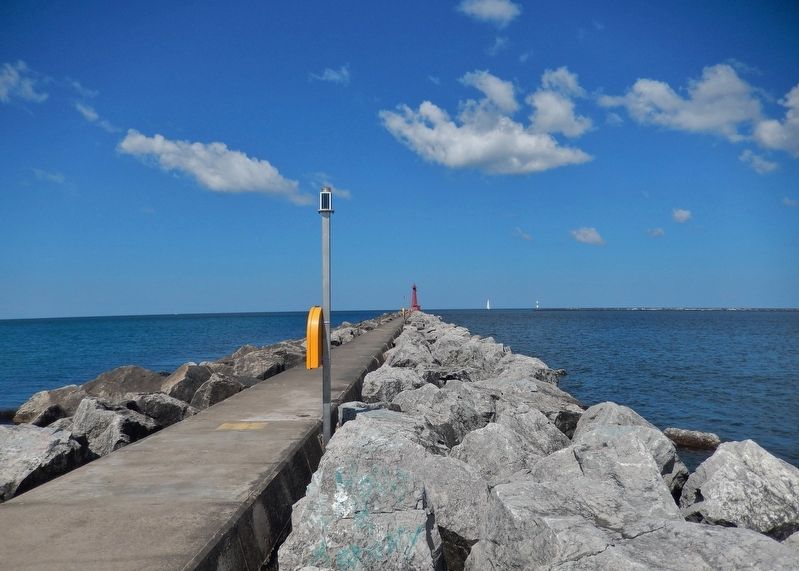
Location. 43° 13.372′ N, 86° 20.509′ W. Marker is in Muskegon, Michigan, in Muskegon County. It is in Beachwood-Bluffton. Marker can be reached from Beach Street Road west of Beach Street, on the right when traveling south. Marker is located on the South Pierhead Lighthouse Breakwater, about one-tenth mile out from Beach Street Road. Touch for map. Marker is at or near this postal address: 1453 Beach Street, Muskegon MI 49441, United States of America. Touch for directions.
Other nearby markers. At least 8 other markers are within 5 miles of this marker, measured as the crow flies. Bluffton Actors' Colony / Buster Keaton (approx. 0.7 miles away); Jean Baptiste Recollect Trading Post (approx. 2.6 miles away); Lakeside (approx. 2.8 miles away); Pinchtown (approx. 3.1 miles away); Union Depot (approx. 4.3 miles away); Hackley-Holt House (approx. 4.4 miles away); Hackley House (approx. 4.4 miles away); Hume House (approx. 4.4 miles away). Touch for a list and map of all markers in Muskegon.
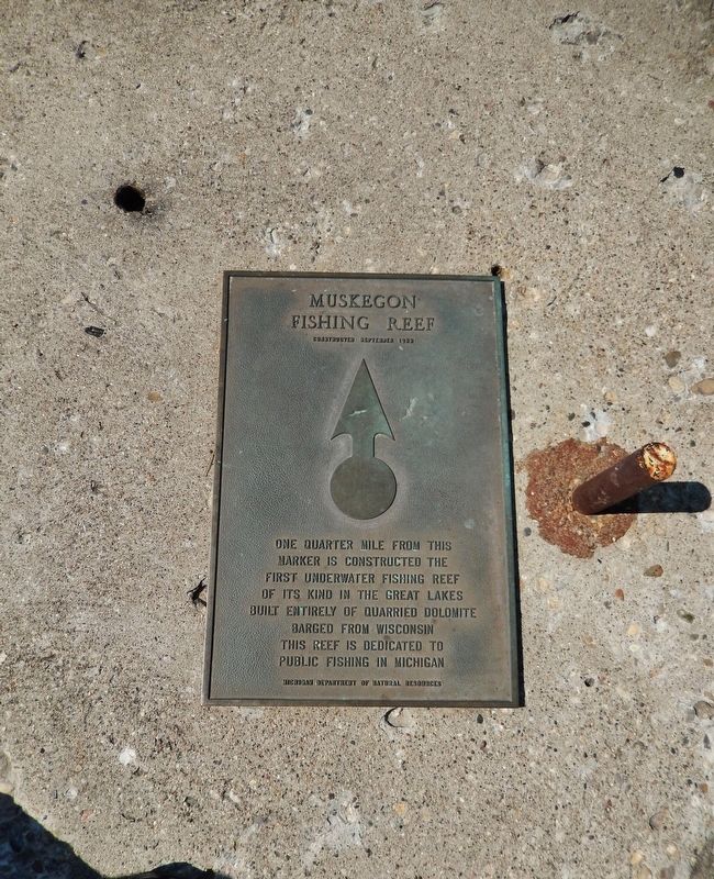
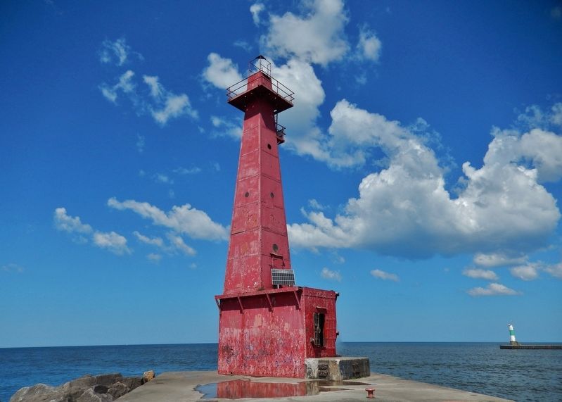
More about this marker. Marker is a large metal plaque, mounted horizontally, directly on the walking surface of the breakwater, at the point where the breakwater turns from west to northwest.
Also see . . . West Michigan Underwater Preserve. Preserve website entry (Submitted on February 12, 2022, by Larry Gertner of New York, New York.)
Credits. This page was last revised on August 2, 2023. It was originally submitted on July 3, 2018, by Cosmos Mariner of Cape Canaveral, Florida. This page has been viewed 796 times since then and 67 times this year. Photos: 1, 2, 3, 4, 5. submitted on July 3, 2018, by Cosmos Mariner of Cape Canaveral, Florida. • Bill Pfingsten was the editor who published this page.
