Near Colorado City in Mitchell County, Texas — The American South (West South Central)
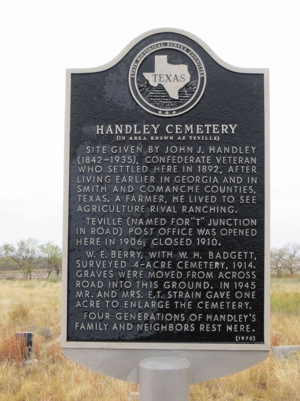
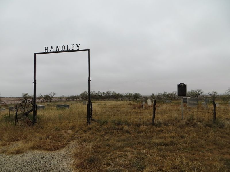
Handley Cemetery
(In area known as Teville)
Teville (named for "T" Junction in road) post office was opened here in 1906; closed 1910.
W.B. Berry, with W.H. Badgett, surveyed 4-acre cemetery, 1914. Graves were moved from across road into this ground. In 1945 Mr. and Mrs. E.T. Strain gave one acre to enlarge the cemetery.
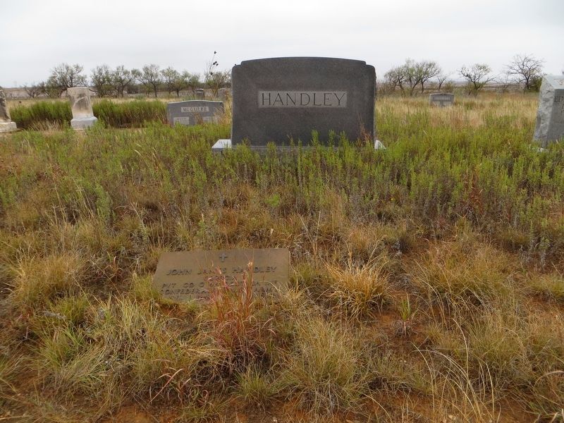
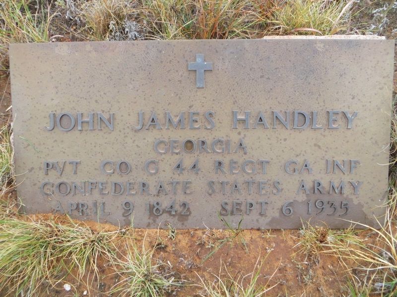
Four generations of Handley's family and neighbors rest here.
Erected 1970 by State Historical Survey Committee. (Marker Number 2356.)
Topics. This historical marker is listed in this topic list: Cemeteries & Burial Sites. A significant historical year for this entry is 1892.
Location. 32° 26.424′ N, 100° 59.56′ W. Marker is near Colorado City, Texas, in Mitchell County. Marker is on Farm to Market Road 1229, 8.8 miles south of State Highway 350, on the right when traveling south. Touch for map. Marker is in this post office area: Colorado City TX 79512, United States of America. Touch for directions.
Other nearby markers. At least 8 other markers are within 8 miles of this marker, measured as the crow flies. Site of Town of Cuthbert (approx. 3.8 miles away); Coleman Ranch Field Discovery Well (approx. 5.4 miles away); We Will Remember (approx. 6.8 miles away); Site of First Westbrook School and Church (approx. 6.8 miles away); Campsite of the Marcy Expedition (approx. 7.7 miles away); Col-Tex Refinery (approx. 7.7 miles away); Discovery Well of the Permian Basin (approx. 7.9 miles away); Mitchell County (approx. 8 miles away). Touch for a list and map of all markers in Colorado City.
Also see . . . Find A Grave Memorial. (Submitted on July 4, 2018, by Bill Kirchner of Tucson, Arizona.)
Credits. This page was last revised on July 4, 2018. It was originally submitted on July 4, 2018, by Bill Kirchner of Tucson, Arizona. This page has been viewed 249 times since then and 20 times this year. Photos: 1, 2, 3, 4. submitted on July 4, 2018, by Bill Kirchner of Tucson, Arizona.


