Henderson in Henderson County, Kentucky — The American South (East South Central)
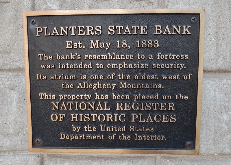
Planters State Bank
Est. May 18, 1883
was intended to emphasize security.
Its atrium is one of the oldest west of
the Allegheny Mountains.
This property has been placed on the
National Register of
of Historic Places
by the United States
Department of the Interior
Topics. This historical marker is listed in these topic lists: Architecture • Industry & Commerce. A significant historical date for this entry is May 18, 1883.
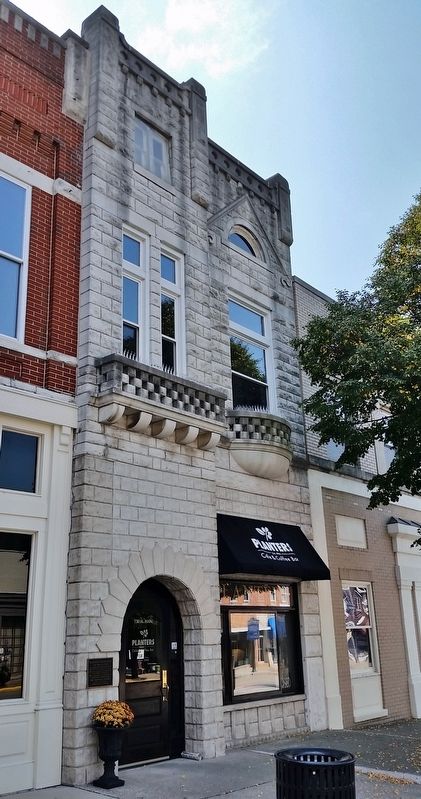
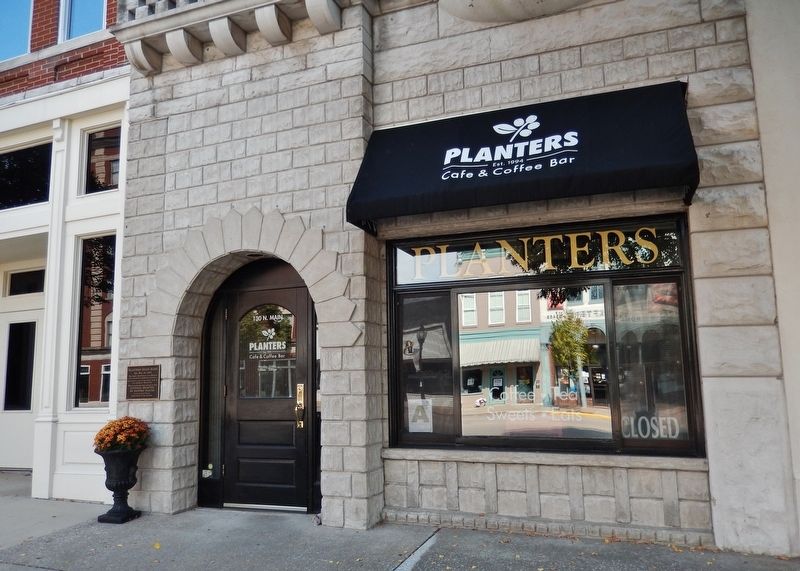
Location. 37° 50.416′ N, 87° 35.508′ W. Marker is in Henderson, Kentucky, in Henderson County. Marker is on North Main Street south of 2nd Street, on the right when traveling north. Marker is a National Register of Historic Places plaque, mounted directly on the subject building, just left of the front door, facing North Main Street. Touch for map. Marker is at or near this postal address: 130 North Main Street, Henderson KY 42420, United States of America. Touch for directions.
Other nearby markers. At least 8 other markers are within walking distance of this marker. John James Audubon Store Site (within shouting distance of this marker); Henderson County Revolutionary War Memorial (about 400 feet away, measured in a direct line); a different marker also named Henderson County Revolutionary War Memorial (about 400 feet away); Old Court Bell (about 500 feet away); Nancy Morgan Hart (about 500 feet away); A Civil War Action (about 500 feet away); Audubon Saw and Grist Mill (about 600 feet away); Confederate Raid on Newburgh (about 600 feet away). Touch for a list and map of all markers in Henderson.
Credits. This page was last revised on July 6, 2018. It was originally submitted on July 5, 2018, by Cosmos Mariner of Cape Canaveral, Florida. This page has been viewed 214 times since then and 25 times this year. Photos: 1, 2, 3. submitted on July 5, 2018, by Cosmos Mariner of Cape Canaveral, Florida. • Andrew Ruppenstein was the editor who published this page.


