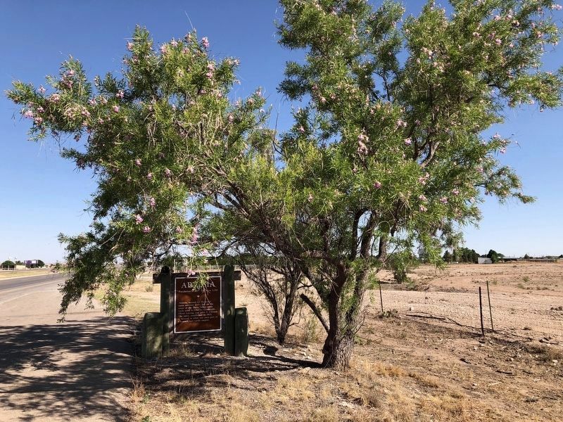
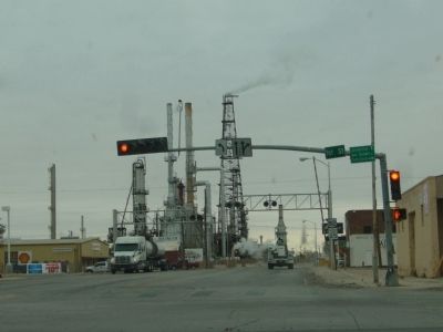
Artesia in Eddy County, New Mexico — The American Mountains (Southwest)
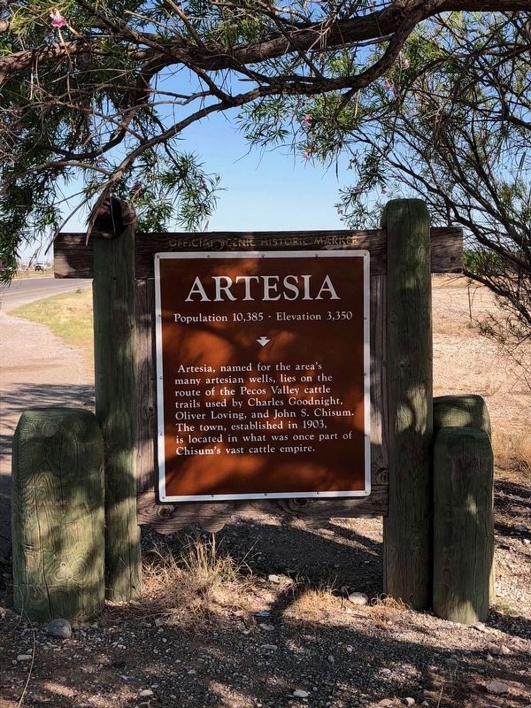
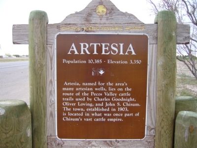
Artesia
Population 10,385 – Elevation 3,350
Erected by New Mexico Historical Preservation Division. (Marker Number 394.)
Topics. This historical marker is listed in this topic list: Settlements & Settlers. A significant historical year for this entry is 1903.
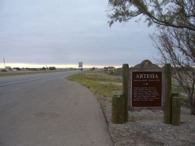
Location. 32° 53.596′ N, 104° 24.996′ W. Marker is in Artesia, New Mexico, in Eddy County. Marker is on Roswell Highway (U.S. 285), on the right when traveling south. Touch for map. Marker is in this post office area: Artesia NM 88210, United States of America. Touch for directions.
Other nearby markers. At least 8 other markers are within 4 miles of this marker, measured as the crow flies. The Sallie Chisum Robert House (approx. 3˝ miles away); The Acord-Wheatley House (approx. 3.6 miles away); The Illinois #3 (approx. 3.6 miles away); Van Stratton Welch (approx. 3.6 miles away); Martin Yates, Jr. (approx. 3.6 miles away); John R. Gray (approx. 3.6 miles away); Mary Emmons Yates (approx. 3.6 miles away); Mack C. Chase (approx. 3.6 miles away). Touch for a list and map of all markers in Artesia.
Credits. This page was last revised on July 18, 2018. It was originally submitted on November 27, 2012, by Bill Kirchner of Tucson, Arizona. This page has been viewed 1,080 times since then and 44 times this year. Last updated on July 6, 2018, by Brian Anderson of Humble, Texas. Photos: 1. submitted on July 9, 2018, by Brian Anderson of Humble, Texas. 2, 3, 4. submitted on November 27, 2012, by Bill Kirchner of Tucson, Arizona. 5. submitted on July 9, 2018, by Brian Anderson of Humble, Texas. 6. submitted on November 27, 2012, by Bill Kirchner of Tucson, Arizona. • Syd Whittle was the editor who published this page.
