Hamzalısüleymaniye in Bergama, İzmir, Turkey — West Asia or Southeast Europe
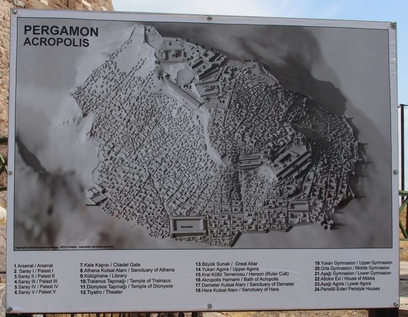
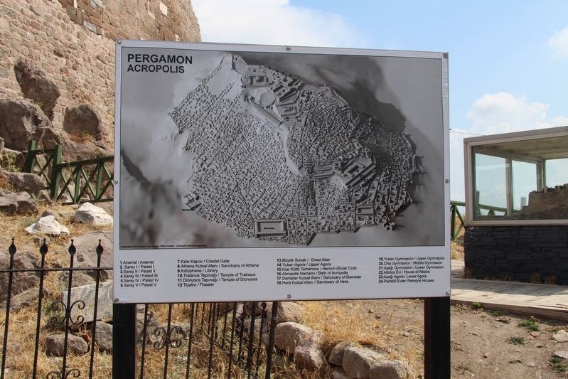
Pergamon Acropolis
Turkish Text / English Text:
1. Arsenal / Arsenal
2. Saray / Palast I
3. Saray II / Palast II
4. Saray III / Palast III
5. Saray IV / Palast IV
6. Saray V / Palast V
7. Kale Kapisi / Citadel Gate
8. Athena Kutsal Alani / Sanctuary of Athena
9. Kütüphane / Library
10. Traianus Tapinagi / Temple of Trainaus
11. Dionysos Tapinagi / Temple of Dionysos
12. Tiyatro / Theater
13. Büyük Sunak / Great Altar
14. Yukari Agora / Upper Agora
15. Kral Kültü Temenosu / Heroon (Ruler Cult)
16. Akropolis Hamami / Bath of Acropolis
17. Demeter Kutsal Alani / Sanctuary of Demeter
18. Hera Kutsal Alani / Sanctuary of Hera
19. Yukari Gymnasion / Upper Gymnasion
20. Orta Gymnasion / Middle Gymnasion
21. Asagi Gymnasion / Lower Gymnasion
22. Attolos Evi / House of Attalos
23. Asagi Agora / Lower Agora
24. Peristilli Evler / Peristyle Houses
Topics. This historical marker is listed in these topic lists: Churches & Religion • Forts and Castles • Settlements & Settlers.
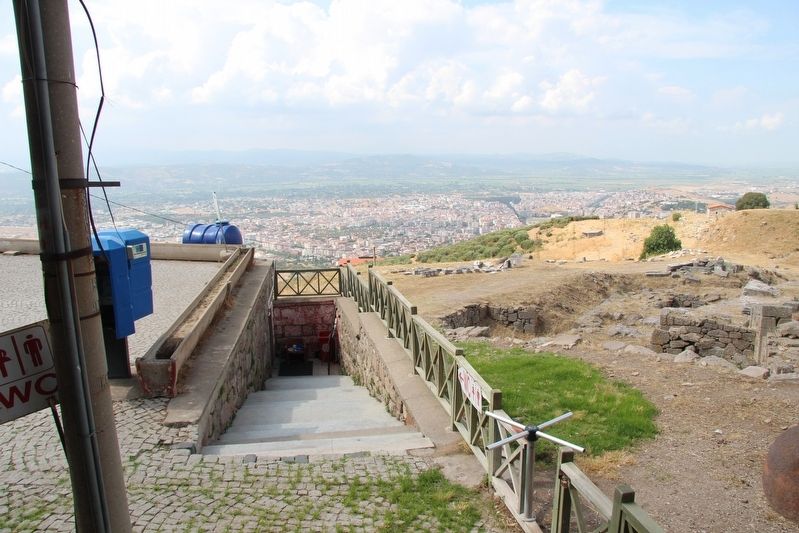
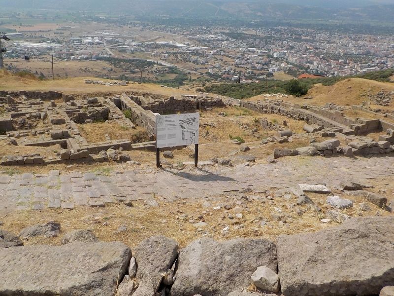
Location. 39° 7.907′ N, 27° 11.123′ E. Marker is in Hamzalısüleymaniye, İzmir, in Bergama. Marker is on Akropol Caddesi just north of Kale, on the right when traveling north. This marker is situated in the Pergamum archaeological park, which is located up on the acropolis, that overlooks the residential and business districts beneath it. Touch for map. Marker is in this post office area: Hamzalısüleymaniye, İzmir 35700, Turkey. Touch for directions.
Other nearby markers. At least 1 other marker is within walking distance of this marker. The Temple of Trajan (about 150 meters away, measured in a direct line).
Credits. This page was last revised on February 2, 2022. It was originally submitted on July 6, 2018, by Dale K. Benington of Toledo, Ohio. This page has been viewed 264 times since then and 11 times this year. Photos: 1, 2, 3, 4, 5. submitted on July 6, 2018, by Dale K. Benington of Toledo, Ohio.
