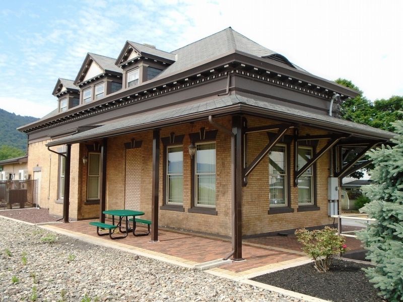
Duncannon in Perry County, Pennsylvania — The American Northeast (Mid-Atlantic)
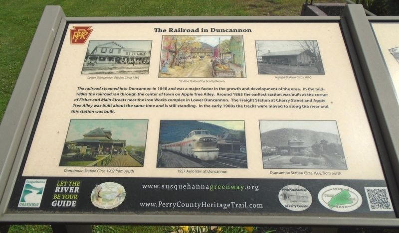
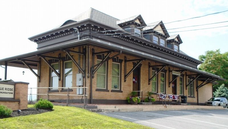
The Railroad in Duncannon
Perry County Bicentennial
— 1820 - 2020 —
Erected by Historical Society of Perry County, Susquehanna Greenway, PA DCNR and Borough of Duncannon. (Marker Number 5.)
Topics and series. This historical marker is listed in these topic lists: Industry & Commerce • Man-Made Features • Railroads & Streetcars. In addition, it is included in the Perry County Heritage Trail in Pennsylvania. series list. A significant historical year for this entry is 1848.
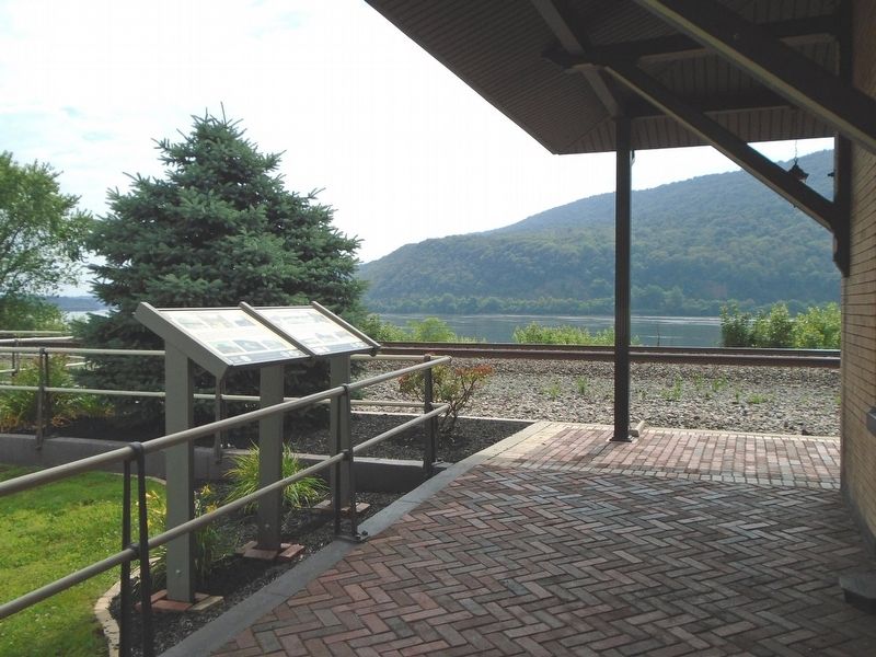
Location. 40° 23.387′ N, 77° 1.778′ W. Marker is in Duncannon, Pennsylvania, in Perry County. Marker is at the intersection of Cumberland Street and Water Street, on the left when traveling east on Cumberland Street. Touch for map. Marker is at or near this postal address: 1 Water Street, Duncannon PA 17020, United States of America. Touch for directions.
Other nearby markers. At least 8 other markers are within walking distance of this marker. Clark's Ferry Bridge (here, next to this marker); Duncannon Square (within shouting distance of this marker); Duncannon (about 600 feet away, measured in a direct line); Duncannon National Bank (about 600 feet away); Duncannon Presbyterian Church Annex (about 600 feet away); First Sunday School In Perry County (about 600 feet away); Duncannon School (about 600 feet away); Entering Duncannon (about 700 feet away). Touch for a list and map of all markers in Duncannon.
Also see . . .
1. Perry County Heritage Trail - Duncannon. (Submitted on July 9, 2018, by William Fischer, Jr. of Scranton, Pennsylvania.)
2. Duncannon PA. (Submitted on July 9, 2018, by William Fischer, Jr. of Scranton, Pennsylvania.)
Credits. This page was last revised on March 1, 2024. It was originally submitted on July 9, 2018, by William Fischer, Jr. of Scranton, Pennsylvania. This page has been viewed 467 times since then and 51 times this year. Photos: 1, 2, 3, 4, 5. submitted on July 9, 2018, by William Fischer, Jr. of Scranton, Pennsylvania.
