Marker Logo HMdb.org THE HISTORICAL
MARKER DATABASE
“Bite-Size Bits of Local, National, and Global History”
Roswell in Chaves County, New Mexico — The American Mountains (Southwest)
 

Roswell

Population 50,000 - Elevation 3,612


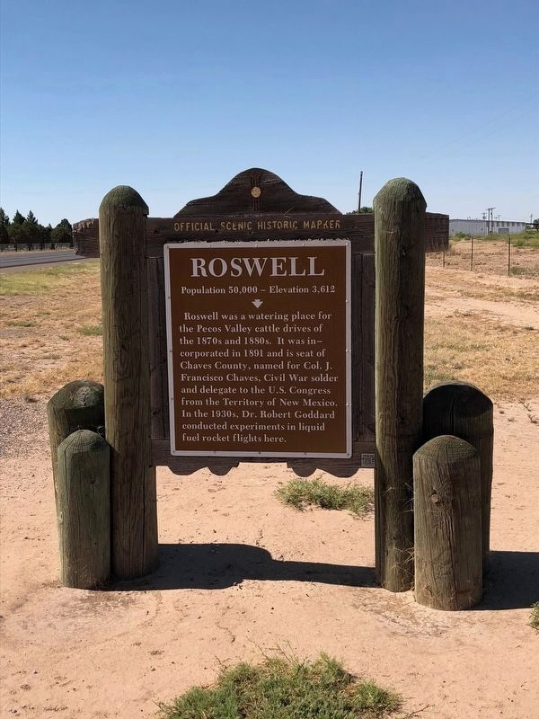
Roswell Marker image. Click for full size.
Photographed By Brian Anderson, May 25, 2018
1. Roswell Marker
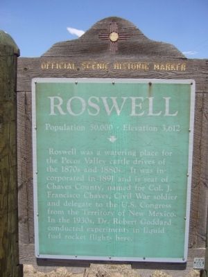
Inscription. Roswell was a watering place for the Pecos Valley cattle drives of the 1870s and 1880s. It was incorporated in 1891 and is seat of Chaves County, named for Col. J. Francisco Chaves, Civil War Soldier and delegate to the U.S. Congress from the Territory of New Mexico. In the 1930s, Dr. Robert Goddard conducted experiments in liquid fuel rocket flights here.
 
Erected by New Mexico Historic Preservation Division. (Marker Number 192.)
 
Topics. This historical marker is listed in these topic lists: Science & MedicineSettlements & Settlers. A significant historical year for this entry is 1891.
 
Location. 33° 21.319′ N, 104° 30.619′ W. Marker is in Roswell, New Mexico, in Chaves County. Marker is on SE Main Street (U.S. 285) 0.4 miles north of East Brasher Road, on the right when traveling north. Touch for map. Marker is in this post office area: Roswell NM 88203, United States of America. Touch for directions.
 
Other nearby markers. At least 8 other markers are within 3 miles of this marker, measured as the crow flies. Walker Air Force Base (approx. 1.7 miles away); Home of the James Phelps White Family (approx. 2.9 miles away); New Mexico Navy Veterans Monument (approx. 2.9 miles away); Roswell’s First General Store and Post Office (approx. 3 miles away); Patrick Floyd Jarvis Garrett (approx. 3
Paid Advertisement
Click on the ad for more information.
Please report objectionable advertising to the Editor.
Click or scan to see
this page online
miles away); Chaves County Court House (approx. 3 miles away); Justice in the Wild West (approx. 3 miles away); Chaves County Veterans War Memorial (approx. 3 miles away). Touch for a list and map of all markers in Roswell.
 
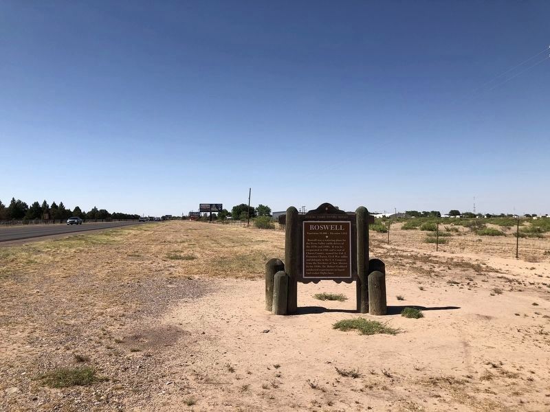
Roswell Marker - Wide View image. Click for full size.
Photographed By Brian Anderson, May 25, 2018
2. Roswell Marker - Wide View
Roswell Marker - old version image. Click for full size.
Photographed By Bill Kirchner, May 3, 2012
3. Roswell Marker - old version
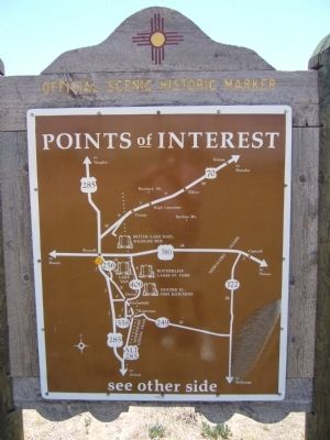
<i>Back of</i> Roswell Marker image. Click for full size.
Photographed By Bill Kirchner, May 3, 2012
4. Back of Roswell Marker
Points of Interest
New Mexico's Historic Markers typically have a map on the back side showing the location of other OSHM's. This is an excellent source of information when exploring for other Historical Markers and locations.
Roswell Marker - Wide View, old version image. Click for full size.
Photographed By Bill Kirchner, May 3, 2012
5. Roswell Marker - Wide View, old version
View north on US-285
 
 
Credits. This page was last revised on July 11, 2018. It was originally submitted on June 8, 2012, by Bill Kirchner of Tucson, Arizona. This page has been viewed 952 times since then and 40 times this year. Last updated on July 9, 2018, by Brian Anderson of Humble, Texas. Photos:   1, 2. submitted on July 9, 2018, by Brian Anderson of Humble, Texas.   3, 4, 5. submitted on June 8, 2012, by Bill Kirchner of Tucson, Arizona. • Syd Whittle was the editor who published this page.
Share this page.  
Share on Tumblr
m=119935

CeraNet Cloud Computing sponsors the Historical Marker Database.
This website earns income from purchases you make after using our links to Amazon.com. We appreciate your support.
Paid Advertisement
Apr. 24, 2024