Mount Pleasant in Titus County, Texas — The American South (West South Central)
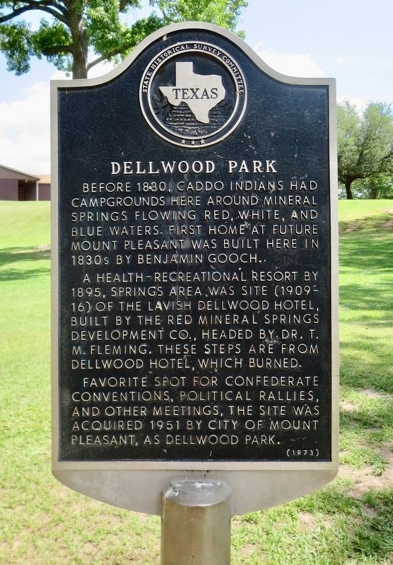
Dellwood Park
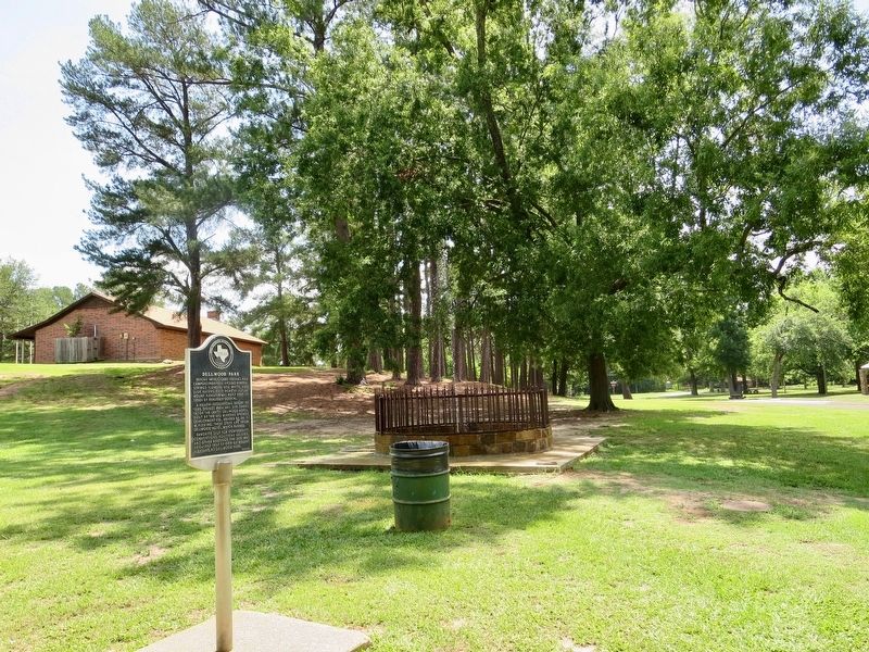
A health-recreational resort by 1895, springs area was site (1909-16) of the lavish Dellwood Hotel, built by the Red Mineral Springs Development Co., headed by Dr. T. M. Fleming. These steps are from Dellwood Hotel, which burned.
Favorite spot for Confederate conventions, political rallies, and other meetings, the site was acquired 1951 by city of Mount Pleasant, as Dellwood Park.
Erected 1973 by State Historical Survey Committee. (Marker Number 11173.)
Topics. This historical marker is listed in these topic lists: Parks & Recreational Areas • War, US Civil. A significant historical year for this entry is 1830.
Location. 33° 8.746′ N, 94° 57.585′ W. Marker is in Mount Pleasant, Texas, in Titus County. Marker is on Danny Drive west of South Florey Avenue, on the right when traveling west. Touch for map. Marker is at or near this postal address: Danny Drive, Mount Pleasant TX 75455, United States of America. Touch for directions.
Other nearby markers. At least 8 other markers are within 8 miles of this marker, measured as the crow flies. Titus County Confederate Monument (approx. 0.9 miles away); Titus County C.S.A. (approx. one mile away); First Presbyterian Church of Mt. Pleasant (approx. 1.1 miles away); Henry Clay Thruston (approx. 1.2 miles away); Nevill's Chapel Cemetery (approx. 3.4 miles away); Caddo Indian Communities in the Cypress Creek Drainage (approx. 6.3 miles away); Camp County (approx. 7.4 miles away); Colonel John L. Camp (approx. 7.4 miles away). Touch for a list and map of all markers in Mount Pleasant.
Regarding Dellwood Park. In the summer of 1910 a Confederate Soldiers Reunion was held on the hotel grounds and it is said that thousands came and camped in and around the area. In fact, by the third day of the event, all available food in town had been consumed, and the attendees went home hungry. After the 1910 season, the hotel was no longer operated by the developers, but was rented out for two years to a Dr. Speers who operated a prep school there. W. H. Florey then ran a boarding house for another two or three years. Until 1922 or 1923, the park area continued to be a popular place for various conventions and political rallies. About 1925, the hotel burned and the area was vacant and uncared for until 45 acres was purchased by the City of Mount Pleasant in 1951.
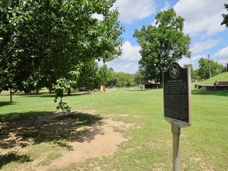
Today Dellwood Park is the pride of the city's parks department, offering walking paths, exercise areas, swimming pool, baseball fields, tennis courts and a Boy Scout "hut." Visitors now enjoy the springs by just watching them quietly flow into Town Branch, as in the days when deer and Caddo Indians roamed the area.
Credits. This page was last revised on July 11, 2018. It was originally submitted on July 11, 2018, by Mark Hilton of Montgomery, Alabama. This page has been viewed 1,166 times since then and 267 times this year. Photos: 1, 2, 3. submitted on July 11, 2018, by Mark Hilton of Montgomery, Alabama.


