Mount Pleasant in Titus County, Texas — The American South (West South Central)
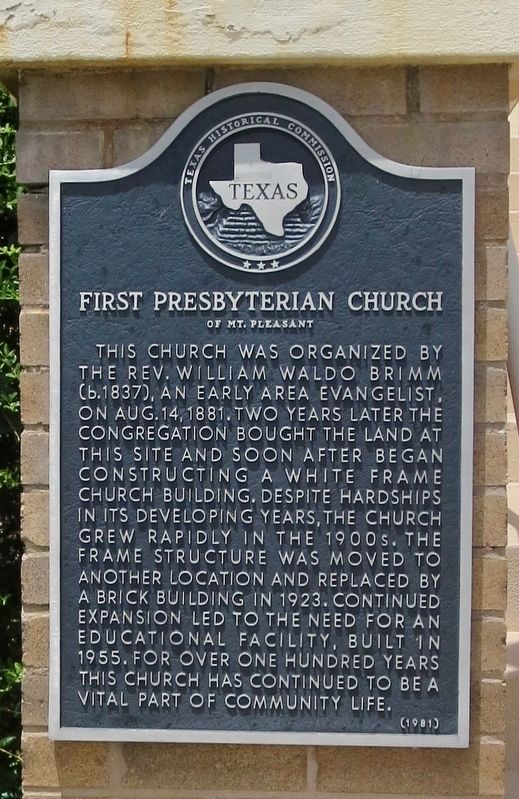
First Presbyterian Church of Mt. Pleasant
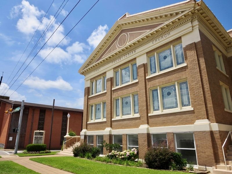
This church was organized by the Rev. William Waldo Brimm (b. 1837), an early area evangelist, on Aug. 14, 1881. Two years later the congregation bought the land at this site and soon after began constructing a white frame church building. Despite hardships in its developing years, the church grew rapidly in the 1900s. The frame structure was moved to another location and replaced by a brick building in 1923. Continued expansion led to the need for an educational facility, built in 1955. For over one hundred years this church was continued to be a vital part of community life.
Erected 1981 by Texas Historical Commission. (Marker Number 11175.)
Topics. This historical marker is listed in these topic lists: Churches & Religion • Education. A significant historical date for this entry is August 14, 1881.
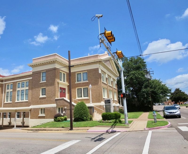
Location. 33° 9.554′ N, 94° 58.18′ W. Marker is in Mount Pleasant, Texas, in Titus County. Marker is at the intersection of North Madison Street and West 4th Street, on the left when traveling north on North Madison Street. Mounted to wall at the bottom of the steps. Touch for map. Marker is at or near this postal address: 401 North Madison Street, Mount Pleasant TX 75455, United States of America. Touch for directions.
Other nearby markers. At least 8 other markers are within 9 miles of this marker, measured as the crow flies. Titus County C.S.A. (about 700 feet away, measured in a direct line); Titus County Confederate Monument (approx. 0.2 miles away); Henry Clay Thruston (approx. 0.3 miles away); Dellwood Park (approx. 1.1 miles away); Nevill's Chapel Cemetery (approx. 2˝ miles away); Caddo Indian Communities in the Cypress Creek Drainage (approx. 7.2 miles away); Winfield Cemetery Veterans Memorial (approx. 8.2 miles away); Winfield Cemetery (approx. 8.2 miles away). Touch for a list and map of all markers in Mount Pleasant.
Credits. This page was last revised on June 23, 2023. It was originally submitted on July 11, 2018, by Mark Hilton of Montgomery, Alabama. This page has been viewed 383 times since then and 84 times this year. Photos: 1, 2, 3. submitted on July 11, 2018, by Mark Hilton of Montgomery, Alabama.


