Near Mount Vernon in Franklin County, Texas — The American South (West South Central)
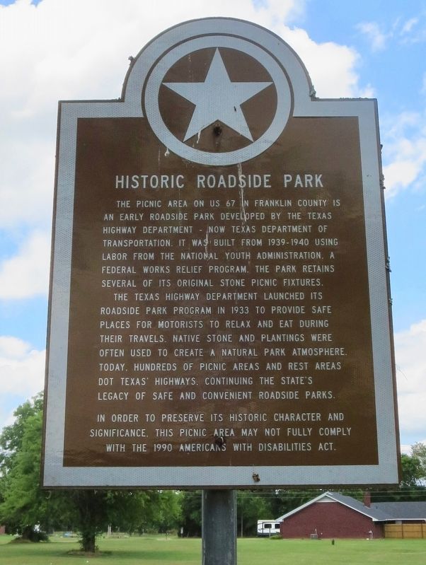
Historic Roadside Park
The Texas Highway Department launched its roadside park program in 1933 to provide safe places for motorists to relax and eat during their travels. Native stone and plantings were often used to create a natural park atmosphere. Today, hundreds of picnic areas and rest areas dot Texas' Highways, continuing the state's legacy of safe and convenient roadside parks.
In order to preserve its historic character and significance, this picnic area may not fully comply with the 1990 Americans With Disabilities Act.
Erected by the State of Texas.
Topics. This historical marker is listed in these topic lists: Parks & Recreational Areas • Roads & Vehicles. A significant historical year for this entry is 1933.
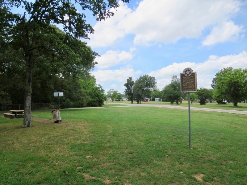
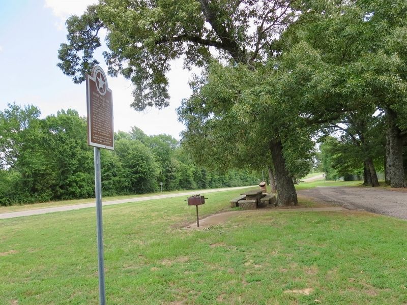
Location. 33° 11.03′ N, 95° 11.074′ W. Marker is near Mount Vernon, Texas, in Franklin County. Marker is at the intersection of U.S. 67 and County Road NE2050, on the right when traveling east on U.S. 67. Located at a Franklin County Historic roadside park. Touch for map. Marker is in this post office area: Mount Vernon TX 75457, United States of America. Touch for directions.
Other nearby markers. At least 8 other markers are within 3 miles of this marker, measured as the crow flies. Joshua Foster Johnson (approx. 1.7 miles away); Ripley Massacre (approx. 2 miles away); The Wright-Vaughan House (approx. 2 miles away); Rutherford Drugstore (approx. 2.1 miles away); First Baptist Church of Mount Vernon (approx. 2.1 miles away); First United Methodist Church of Mount Vernon (approx. 2.1 miles away); Franklin County Courthouse (approx. 2.2 miles away); Site of the Merchants and Planters National Bank (approx. 2.2 miles away). Touch for a list and map of all markers in Mount Vernon.
Credits. This page was last revised on July 17, 2018. It was originally submitted on July 17, 2018, by Mark Hilton of Montgomery, Alabama. This page has been viewed 323 times since then and 32 times this year. Photos: 1, 2, 3. submitted on July 17, 2018, by Mark Hilton of Montgomery, Alabama.


