Murphy in Cherokee County, North Carolina — The American South (South Atlantic)
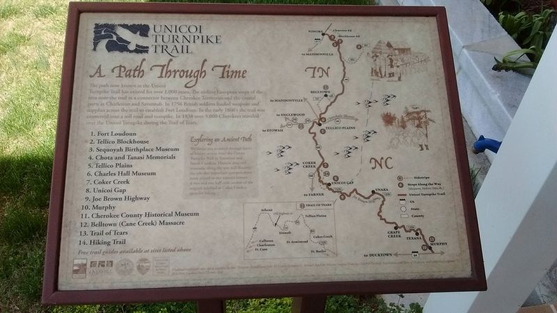
Unicoi Turnpike Trail
A Path Through time
1. Fort Loudoun
2. Tellico Blockhouse
3. Sequoyah Birthplace Museum
4. Chota and Tanasi Memorials
5. Tellico Plains
6. Charles Hall Museum
7. Coker Creek
8. Unicoi Gap
9. Joe Brown Highway
10. Murphy
11. Cherokee County Historical Museum
12. Belltown (Cane Creek) Massacre
13. Trail of Tears
14. Hiking Trail
Exploring an Ancient Path
We invite you to travel through layers of history as you trace the Unicoi Turnpike Trail in Tennessee and North Carolina. Historic sites and museums along the way will illustrate the role this important transportation route played in our nation's history. A two and one half mile section of the original roadbed at Coker Creek is open for hiking.
Topics. This historical marker is listed in these topic lists: Colonial Era • Native Americans • Roads & Vehicles. A significant historical year for this entry is 1756.
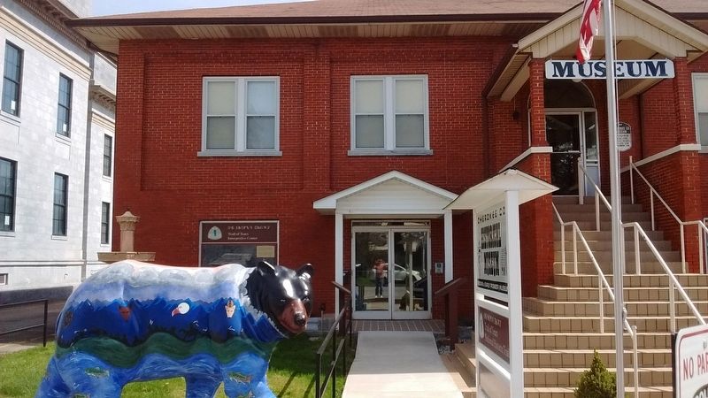
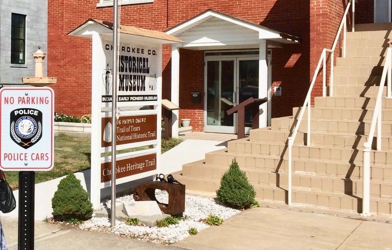
Location. 35° 5.205′ N, 84° 1.983′ W. Marker is in Murphy, North Carolina, in Cherokee County. Marker is on Unicoi Turnpike north of Alpine Street, on the right when traveling north. Marker is located at the entrance to the Cherokee County Historical Museum. Touch for map. Marker is in this post office area: Murphy NC 28906, United States of America. Touch for directions.
Other nearby markers. At least 8 other markers are within walking distance of this marker. Water Powered 500 Pound Hammer (here, next to this marker); Cherokee Heritage Trails (here, next to this marker); Prison Cell Door (a few steps from this marker); Nuya Saligugi (a few steps from this marker); Cherokee War (about 400 feet away, measured in a direct line); Harshaw Chapel and Cemetery (about 500 feet away); 60 Sons of North Carolina (about 600 feet away); Cherokee County Veterans Memorial (about 600 feet away). Touch for a list and map of all markers in Murphy.
Credits. This page was last revised on September 10, 2018. It was originally submitted on July 18, 2018, by Tom Bosse of Jefferson City, Tennessee. This page has been viewed 541 times since then and 63 times this year. Photos: 1, 2. submitted on July 18, 2018, by Tom Bosse of Jefferson City, Tennessee. 3. submitted on September 8, 2018, by Mark Hilton of Montgomery, Alabama. • Bernard Fisher was the editor who published this page.


