Near Sautee Nacoochee in White County, Georgia — The American South (South Atlantic)
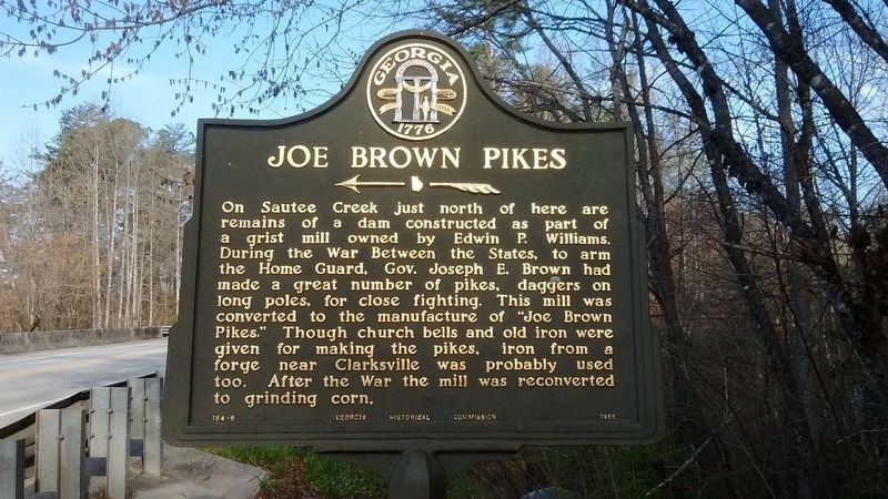
Joe Brown Pikes
Erected 1955 by Georgia Historical Commission. (Marker Number 154-5.)
Topics and series. This historical marker is listed in these topic lists: Industry & Commerce • War, US Civil. In addition, it is included in the Georgia Historical Society series list.
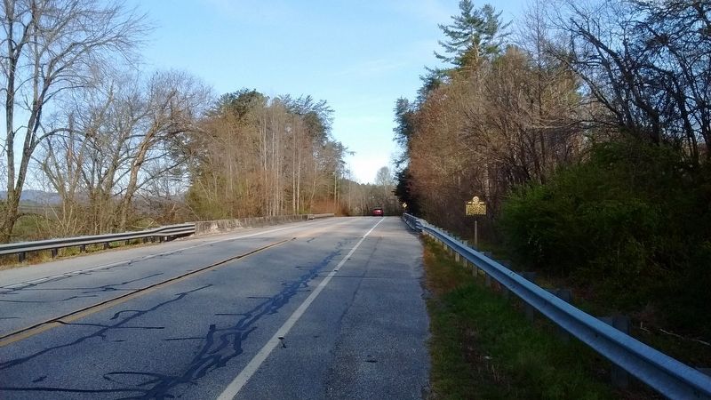
Location. 34° 40.739′ N, 83° 40.066′ W. Marker is near Sautee Nacoochee, Georgia, in White County. Marker is on Unicoi Turnpike (Georgia Route 17), on the right when traveling west. Marker is located at the east end of bridge on Ga. 17, 1.3 miles west of the White-Habersham county line. Touch for map. Marker is in this post office area: Sautee Nacoochee GA 30571, United States of America. Touch for directions.
Other nearby markers. At least 8 other markers are within 2 miles of this marker, measured as the crow flies. African American Heritage Site (approx. 0.7 miles away); Slave Garden (approx. 0.7 miles away); Emancipation Wall (approx. 0.7 miles away); Slave Dwelling (approx. 0.7 miles away); Millstones (approx. 0.7 miles away); Cooling Vat (approx. 0.7 miles away); Blacksmith Shop (approx. 0.7 miles away); White Methodist Church (approx. 1.2 miles away). Touch for a list and map of all markers in Sautee Nacoochee.
Also see . . .
1. Confederate, Joseph Brown Georgia Pike. (Submitted on July 18, 2018, by Tom Bosse of Jefferson City, Tennessee.)
2. Joseph E. Brown. (Submitted on July 18, 2018, by Tom Bosse of Jefferson City, Tennessee.)
Credits. This page was last revised on July 19, 2018. It was originally submitted on July 18, 2018, by Tom Bosse of Jefferson City, Tennessee. This page has been viewed 750 times since then and 56 times this year. Photos: 1, 2, 3, 4. submitted on July 18, 2018, by Tom Bosse of Jefferson City, Tennessee. • Andrew Ruppenstein was the editor who published this page.


