Ehemaliges Rathaus / Former City Hall
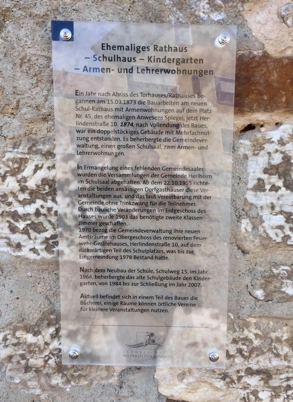
Ehemaliges Rathaus — Schulhaus — Kindergarten — Armen- und Lehrerwohnungen
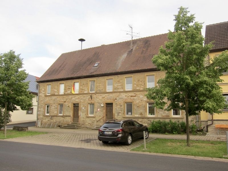
Ein Jahr nach Abriss des Torhauses/Rathauses begannen am 15.03.1873 die Bauarbeiten am neuen Schul-Rathaus mit Armenwohnungen auf dem Platz Nr. 45, des ehemaligen Anwesens Spiegel, jetzt Herlindenstraße 10. 1874, nach Vollendung des Baues, war ein doppelstöckiges Gebäude mit Mehrfachnutzung entstanden. Es beherbergte die Gemeindeverwaltung, einen großen Schulsaal, zwei Armen- und Lehrerwohnungen.
In Ermangelung eines fehlenden Gemeindesaales wurden die Versammlungen der Gemeinde Herlheim im Schulsaal abgehalten. Ab dem 22.10.1955 richteten die beiden ansässigen Dorfgasthäuser diese Veranstaltungen aus, und das laut Vereinbarung mit der Gemeinde ohne Trinkzwang für die Teilnehmer. Durch bauliche Veränderungen im Erdgeschoss des Hauses wurde 1903 das benötigte zweite Klassen-zimmer geschaffen.
1970 bezog die Gemeindeverwaltung ihre neuen Amtsräume im Obergeschoss des renovierten Feuer wehr-Gerätehauses, Herlindenstraße 10, auf dem rückwärtigen Teil des Schulplatzes, was bis zur Eingemeindung 1978 Bestand hatte.
Nach dem Neubau der Schule, Schulweg 15, im Jahr 1964, beherbergte das alte Schulgebäude den Kindergarten, von 1984 bis zur Schließung im Jahr 2007.
Aktuell befindet sich in einem Teil des Baues die Bücherei, einige Räume können örtliche Vereine für kleinere Veranstaltungen nutzen.
-
Former City Hall — Kindergarten Facility — Low Income- and Teachers-Apartments
On March 3, 1873, one year after the demolition of the gatehouse/city hall, construction of the new school/city hall with low-income apartments was begun at No. 45 on the town square, the former Spiegel estate, (which is) now Herlindenstraße 10. Upon completion in 1874, the town now had a two-story multiple-use building, with space for the municipal administration, a large school hall, and two low income/teacher's apartments.
For lack of town hall meeting space, the meetings of the municipality Herlheim were held in the schoolroom. As of October 22, 1955, the two local village inns organized these events, and according to the agreement with the community, without any drinking obligation on the part of the participants. In 1903, renovation of the ground floor created the required second classroom.
In 1970, the municipal administration moved their new offices to the upper floor of the renovated fire-fighting equipment
After the school was rebuilt in 1964 at Schulweg 15, the old school building then housed the a kindergarten, from 1984 until its closure in 2007.
A library currently oocupies one part of the building, and some rooms are available to local clubs and groups for smaller events.
Erected by Frankisches Weinkulturland.
Topics. This historical marker is listed in this topic list: Notable Buildings. A significant historical date for this entry is March 15, 1873.
Location. 49° 55.391′ N, 10° 17.214′ E. Marker is in Herlheim, Bayern (Bavaria), in Schweinfurt. Marker is on Herlindenstrasse, 0.1 kilometers east of Kreuzstrasse, on the left when traveling east. Touch for map. Marker is at or near this postal address: Herlindenstrasse 10, Herlheim BY 97509, Germany. Touch for directions.
Other nearby markers. At least 8 other markers are within 3 kilometers of this marker, measured as the crow flies. Minnesang in Herlheim / Minstrelsy in Herlheim (within shouting distance of this marker); Brünnstadt World Wars I and II Memorial (approx. 2.4 kilometers away); Das Badhaus / The Bathhouse (approx. 3 kilometers away); Storchenbrünnlein / Little Stork Spring (approx. 3 kilometers away); Stone Bridge
Credits. This page was last revised on January 28, 2022. It was originally submitted on July 19, 2018, by Andrew Ruppenstein of Lamorinda, California. This page has been viewed 83 times since then and 3 times this year. Photos: 1, 2. submitted on July 19, 2018, by Andrew Ruppenstein of Lamorinda, California.

