Gulf Breeze in Santa Rosa County, Florida — The American South (South Atlantic)
Site of Pensacola - St. Augustine Road
Inscription.
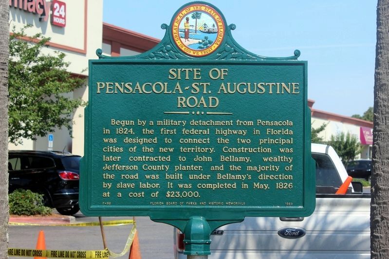
Begun by a military detachment from Pensacola in 1824, the first federal highway in Florida was designed to connect the two principal cities of the new territory. Construction was later contracted to John Bellamy, wealthy Jefferson County planter, and the majority of the road was built under Bellamy's direction by slave labor. It was completed in May, 1826 at a cost of $23,000.
Erected 1963 by Florida Board of Parks and Historical Memorials. (Marker Number F-96.)
Topics. This historical marker is listed in these topic lists: African Americans • Roads & Vehicles. A significant historical month for this entry is May 1826.
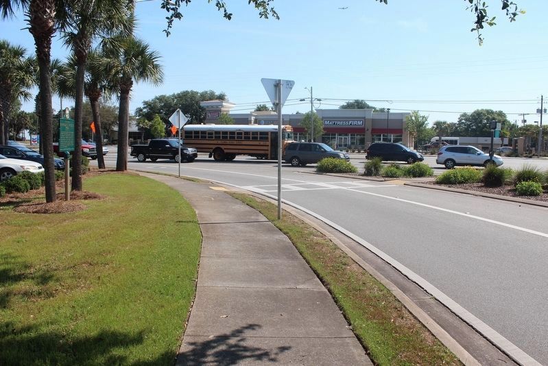
Location. 30° 21.948′ N, 87° 10.239′ W. Marker is in Gulf Breeze, Florida, in Santa Rosa County. Marker is at the intersection of Gulf Breeze Parkway (U.S. 98) and Fairpoint Drive, on the right when traveling south on Gulf Breeze Parkway. Touch for map. Marker is in this post office area: Gulf Breeze FL 32561, United States of America. Touch for directions.
Other nearby markers. At least 8 other markers are within 4 miles of this marker, measured as the crow flies. Live Oaks and Naval Ship Timbers (approx. 2.3 miles away); First Federal Tree Farm (approx. 2.4 miles away); First Religious Service in Pensacola (approx. 2.7 miles away); USCGC Sebago (WPG/WHEC 42) (approx. 3˝ miles away); Middle Passage to Pensacola / African Presence in Colonial Pensacola (approx. 3.6 miles away); Luna Expedition (approx. 3.6 miles away); Spanish Exploration and Discovery (approx. 3.7 miles away); Maritime Prehistory (approx. 3.7 miles away). Touch for a list and map of all markers in Gulf Breeze.
Credits. This page was last revised on July 21, 2018. It was originally submitted on November 14, 2011, by Shane Cormier of Lafayette, Louisiana. This page has been viewed 1,374 times since then and 56 times this year. Last updated on July 20, 2018, by Tim Fillmon of Webster, Florida. Photos: 1. submitted on July 20, 2018, by Tim Fillmon of Webster, Florida. 2. submitted on November 17, 2011, by Shane Cormier of Lafayette, Louisiana. 3. submitted on July 20, 2018, by Tim Fillmon of Webster, Florida. 4. submitted on January 1, 2015, by Mark Hilton of Montgomery, Alabama. • Andrew Ruppenstein was the editor who published this page.


