Near Fort Oglethorpe in Walker County, Georgia — The American South (South Atlantic)
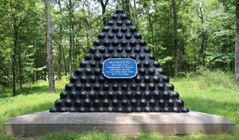
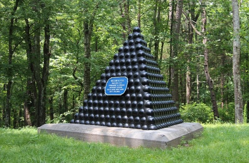
William H. Lytle Memorial Shell Monument
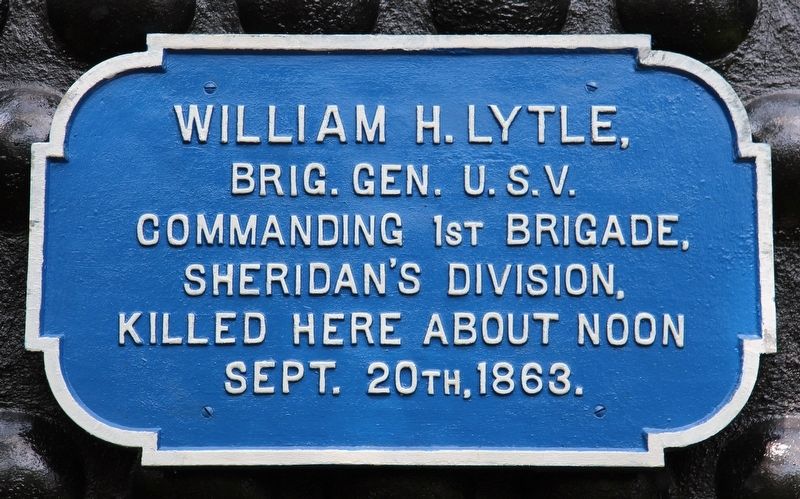
Brigadier General U.S.V.
Commanding 1st Brigade,
Sheridan's Division,
Killed Here About Noon
September 20th, 1863.
Erected 1895 by the Chickamauga and Chattanooga National Military Park Commission. (Marker Number MT-452.)
Topics. This historical marker and monument is listed in these topic lists: Parks & Recreational Areas • War, US Civil. A significant historical date for this entry is September 20, 1863.
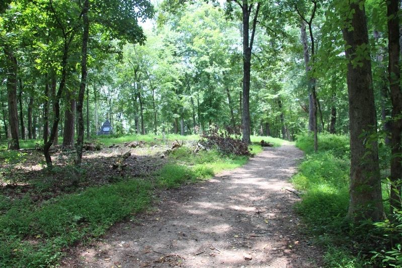
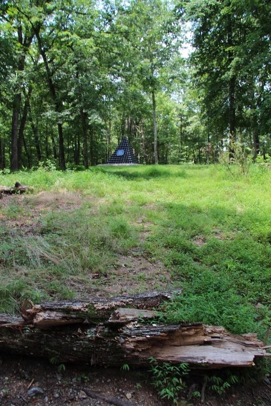
Location. 34° 54.752′ N, 85° 16.187′ W. Marker is near Fort Oglethorpe, Georgia, in Walker County. Marker can be reached from Glenn-Kelly Road east of Chickamauga-Vittatoe Road, on the left when traveling east. This marker is located in the national park that preserves the site of the Chickamauga Battlefield, along a park walking trail, in the woods just north of Glenn-Kelly Road. According to the location information provided by the National Park Service the, “Monument located within the Chickamauga Battlefield in the woods north of the intersection of Glenn-Kelly & Vittetoe Roads, map site #186". Touch for map. Marker is in this post office area: Fort Oglethorpe GA 30742, United States of America. Touch for directions.
Other nearby markers. At least 8 other markers are within walking distance of this marker. Laiboldt's Brigade (about 300 feet away, measured in a direct line); Battery C, 1st Illinois Light Artillery (about 300 feet away); 36th Illinois Infantry (about 500 feet away); To Where Lytle Fell (about 500 feet away); 11th Indiana Battery (about 500 feet away); a different marker also named 11th Indiana Battery (about 600 feet away); Lytle's Brigade (about 600 feet away); Sheridan's Division (about 600 feet away). Touch for a list and map of all markers in Fort Oglethorpe.
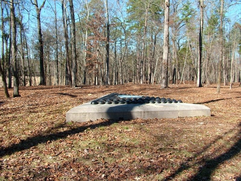
More about this monument. According to the description information provided by the National Park Service, the marker, for a long while was, “14'10" per side and 2' high, the monument consists of a triangular limestone base topped by a layer of cannonballs (all that remains of pyramid) set in cement & painted black. Attached to balls is a painted metal plaque identifying the site."(see picture #)
An additional description states, "To date, no record has been located to explain what happen to this monument or when it happened. It has been surmised by Park Staff that at some point this monument was vandalized and several cannon shells were stolen. At that time, it was decided that they would not rebuild
the monument (perhaps because they did not have any more original 8-inch shells available). Instead, they altered the monument to its current configuration."
This is presently not how this monument appears, rather, it presently looks every bit the same as all of the National Military Park's other memorial shell monuments appear. So I will assume that sometime, since this description was published by the National Park Service in the "List of Classified Structures," that this monument has been rehabilitated and restored to its original appearance (it would appear that it was rehabilitated in 2013 by a Mark Philips).
The National Park Service also identifies E. E. Betts as being the engineer who was the designer of this monument.
In locating this monument I used the "Chickamauga Battlefield" map, that I purchased at the Chickamauga and Chattanooga National Military Park, Visitor Center, to determine both the marker number for this monument and the monument's location in relation to the rest of the park's monuments, markers, and tablets. According to the map it provides the, "numerical listing of all monuments, markers, and tablets on the Chickamauga Battlefield (using the Chick-Chatt NMP Monument Numbering System).”
Credits. This page was last revised on July 23, 2018. It was originally submitted on July 21, 2018, by Dale K. Benington of Toledo, Ohio. This page has been viewed 273 times since then and 26 times this year. Photos: 1, 2, 3, 4, 5, 6, 7. submitted on July 21, 2018, by Dale K. Benington of Toledo, Ohio.
