Pineville in Rapides Parish, Louisiana — The American South (West South Central)
Main Street
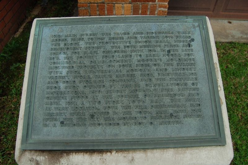
1910: Main Street was paved and sidewalks were added. Prior to 1927, homes and vacant filled the block. The Protective Union Hall, Negro Benevolent Society, was both meeting place and school for black children until 1916. In the late 20's, the Society sold land to Earl Moore for commercial development. Moore's holdings included property on both sides of the street with such renters as Morgan and Lindsey Variety Store, Paul's Barber Shop, Pineville Ice and Cold Storage Company and the Pineville Shoe Shop owned by three generations of McPhearsons. 1879; Bright Morning Star Baptist Church stood at the corner of Shamrock and Main. 1931: A two story town hall was built at that location. Both the fire department and library were housed in the town hall until 1948, when the library was moved to Shamrock Street in a building provided by Roy O. Martin.
Topics. This historical marker is listed in these topic lists: Industry & Commerce • Roads & Vehicles • Settlements & Settlers.
Location. 31° 19.333′ N, 92° 26.075′ W. Marker is in Pineville, Louisiana, in Rapides Parish. Marker is at the intersection of Main Street (Business U.S. 165) and Shamrock Street, on the right when traveling south on Main Street. Touch for map. Marker is at or near this postal address: 731 Main Street, Pineville LA 71360, United States of America. Touch for directions.
Other nearby markers. At least 8 other markers are within walking distance of this marker. City of Pineville (here, next to this marker); Intersection of Shamrock and Main Streets (within shouting distance of this marker); 700 Block Main Street (about 300 feet away, measured in a direct line); Alexandria National Cemetery (about 600 feet away); 835 Main Street (about 600 feet away); 600 Block Main Street West (about 600 feet away); 600 Block Main Street East (about 600 feet away); 800 Block Main Street (about 700 feet away). Touch for a list and map of all markers in Pineville.
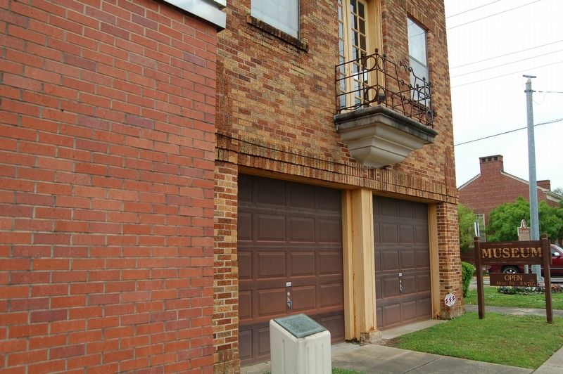
More about this marker. Located in front of the Pineville Old Town Hall Museum.
Credits. This page was last revised on March 2, 2024. It was originally submitted on July 22, 2018, by Cajun Scrambler of Assumption, Louisiana. This page has been viewed 251 times since then and 105 times this year. Photos: 1, 2. submitted on July 22, 2018.

