Near Glade Spring in Washington County, Virginia — The American South (Mid-Atlantic)
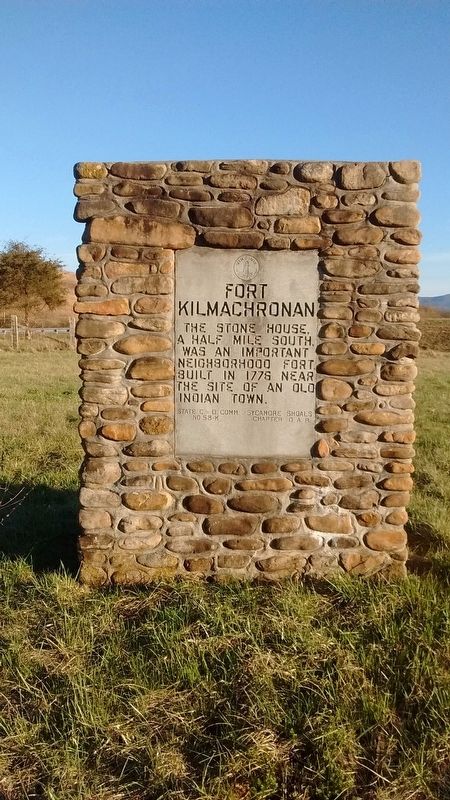
Fort Kilmachronan
Erected by Sycamore Shoals Chapter D.A.R.; State C.D. Comm No 58k. (Marker Number 58-k.)
Topics and series. This historical marker is listed in these topic lists: Forts and Castles • Native Americans • Settlements & Settlers. In addition, it is included in the Daughters of the American Revolution series list. A significant historical year for this entry is 1776.
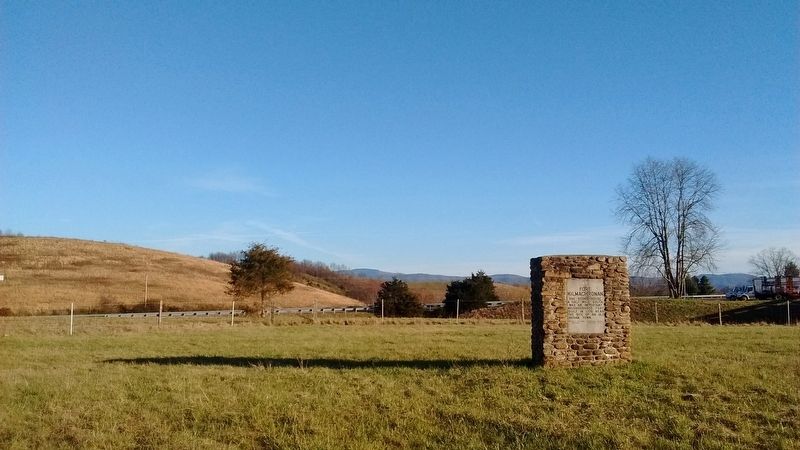
Location. 36° 47.024′ N, 81° 44.096′ W. Marker is near Glade Spring, Virginia, in Washington County. Marker is at the intersection of Lee Highway (U.S. 11) and Fleet Road (County Route 751), on the right when traveling north on Lee Highway. Marker is located just off Exit 32 on I-81 in a field between Lee Hwy and the exit ramp just across from the gas station. Touch for map. Marker is in this post office area: Glade Spring VA 24340, United States of America. Touch for directions.
Other nearby markers. At least 8 other markers are within 4 miles of this marker, measured as the crow flies. Smyth County / Washington County (approx. 2 miles away); Sulphur Springs Church and Campground (approx. 2.9 miles away); Town House (approx. 2.9 miles away); Farthest West, 1750 (approx. 2.9 miles away); Chilhowie (approx. 3 miles away); a different marker also named Chilhowie (approx. 3.1 miles away); Transportation Through the Ages (approx. 3.1 miles away); Mrs. Eliza M. Jones (approx. 3.1 miles away).
Credits. This page was last revised on February 2, 2023. It was originally submitted on July 23, 2018, by Tom Bosse of Jefferson City, Tennessee. This page has been viewed 1,132 times since then and 72 times this year. Photos: 1, 2. submitted on July 23, 2018, by Tom Bosse of Jefferson City, Tennessee. • Bernard Fisher was the editor who published this page.

