Near Tawas City in Iosco County, Michigan — The American Midwest (Great Lakes)
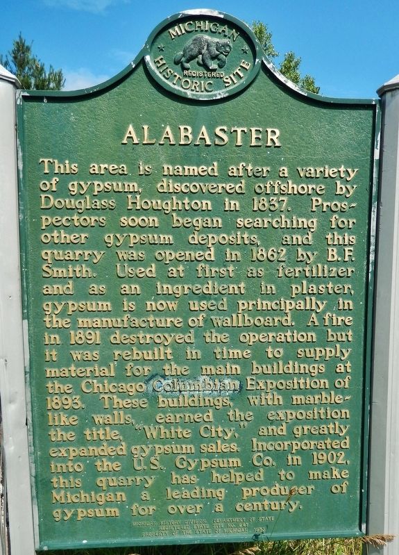
Alabaster
Erected 1976 by Michigan History Division, Department of State. (Marker Number 247.)
Topics and series. This historical marker is listed in this topic list: Industry & Commerce. In addition, it is included in the Michigan Historical Commission series list. A significant historical year for this entry is 1837.
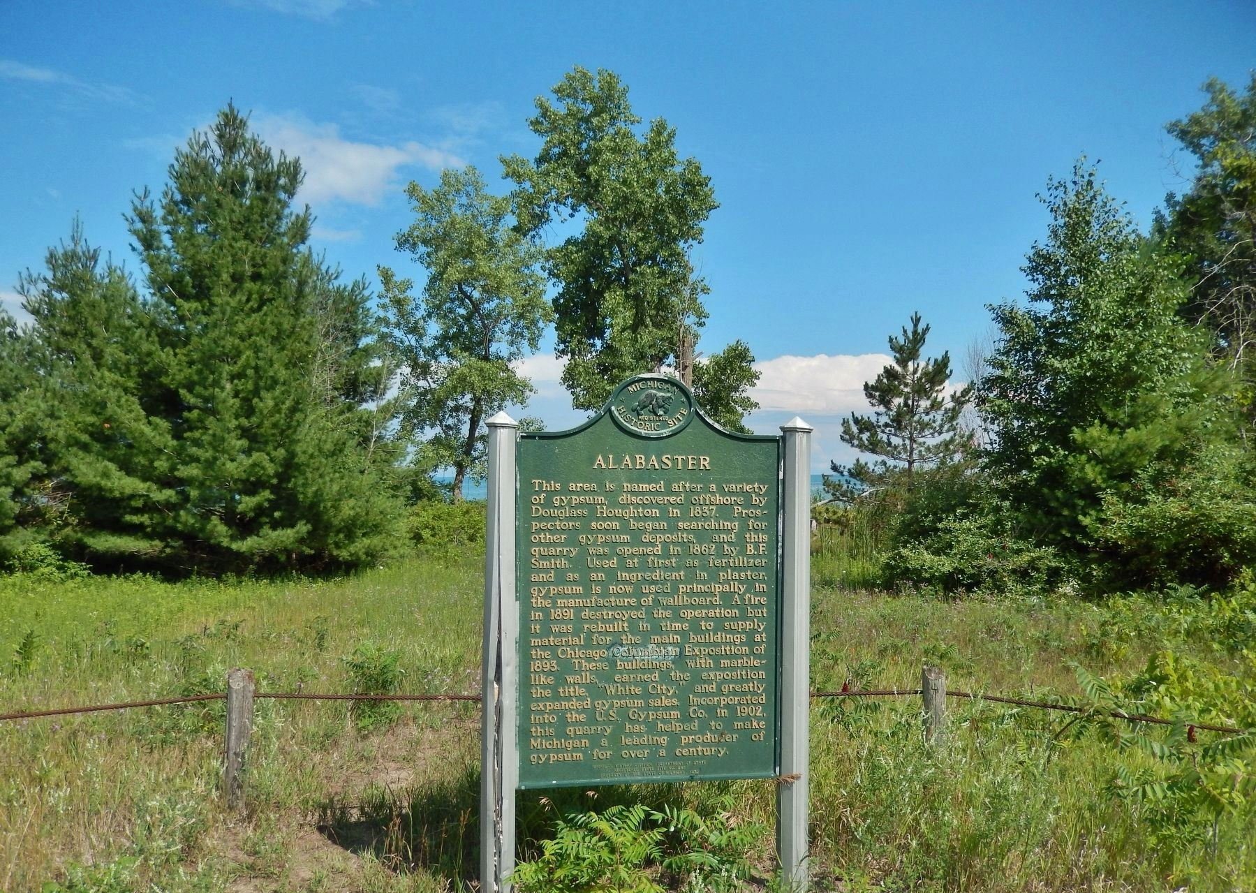
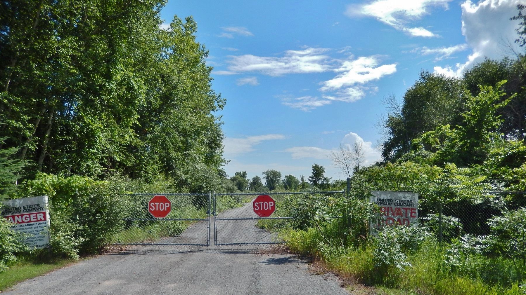
Location. 44° 11.533′ N, 83° 33.368′ W. Marker is near Tawas City, Michigan, in Iosco County. Marker is at the intersection of Benson Road and Turtle Road, on the right when traveling north on Benson Road. Marker is located in a pull-out, overlooking the beach. Touch for map. Marker is at or near this postal address: 951 Turtle Road, Tawas City MI 48763, United States of America. Touch for directions.
Other nearby markers. At least 8 other markers are within 7 miles of this marker, measured as the crow flies. Konotin-Iosco (approx. 5.6 miles away); Brass Range Marker (approx. 6.7 miles away); Rodman Water Power Sawmill (approx. 6.7 miles away); Tawas Lighthouse (approx. 6.8 miles away); Oil House (approx. 6.8 miles away); Double Dwelling (approx. 6.8 miles away); Tawas Point Light Station (approx. 6.8 miles away); Earl T. O’Loughlin (approx. 6.8 miles away).
Regarding Alabaster. National Register of Historic Places (1977)
Also see . . .
1. Alabaster and the Ghostly Loading Dock on Lake Huron. In 1898, the company name was changed to the Alabaster Company. In 1902, the mine was incorporated into the U.S. Gypsum Corporation. The most visible and impressive structure in the district, the elevated marine tramway, was constructed in 1928 and tramway stretched 1.3 miles out into the Saginaw Bay. Like a horizontal ski-lift, the cable system carries 72 "buckets" of gypsum to a waiting ship or to the storage bin. Each bucket holds more than two tons. The tramway included 6,450 feet of one and three-quarter inch steel
cable and 14,000 feet of three-quarter inch cable. At a length of 6,350 feet it was the longest over-water bucket tramway in the world. The tramway was demolished in the 1990s, but the loading building still remains offshore on Lake Huron South of Tawas. (Submitted on July 26, 2018, by Cosmos Mariner of Cape Canaveral, Florida.)
2. Alabaster Historic District. The Alabaster Historic District is a 400-acre mining complex in Iosco County, Michigan, centered on an enormous open pit gypsum mine, with associated processing buildings, shops, and offices. The district also contains the company town, with houses and outbuildings. Most of the worker housing was constructed as 1-1/2-story frame houses with gable roofs. The district also contains a rail line and the remains of an elevated marine tramway running 1-1/2 miles into Saginaw Bay. (Submitted on July 26, 2018, by Cosmos Mariner of Cape Canaveral, Florida.)
Credits. This page was last revised on July 30, 2018. It was originally submitted on July 25, 2018, by Cosmos Mariner of Cape Canaveral, Florida. This page has been viewed 734 times since then and 80 times this year. Photos: 1. submitted on July 25, 2018, by Cosmos Mariner of Cape Canaveral, Florida. 2, 3. submitted on July 26, 2018, by Cosmos Mariner of Cape Canaveral, Florida. • Bill Pfingsten was the editor who published this page.


