Nature's Highway
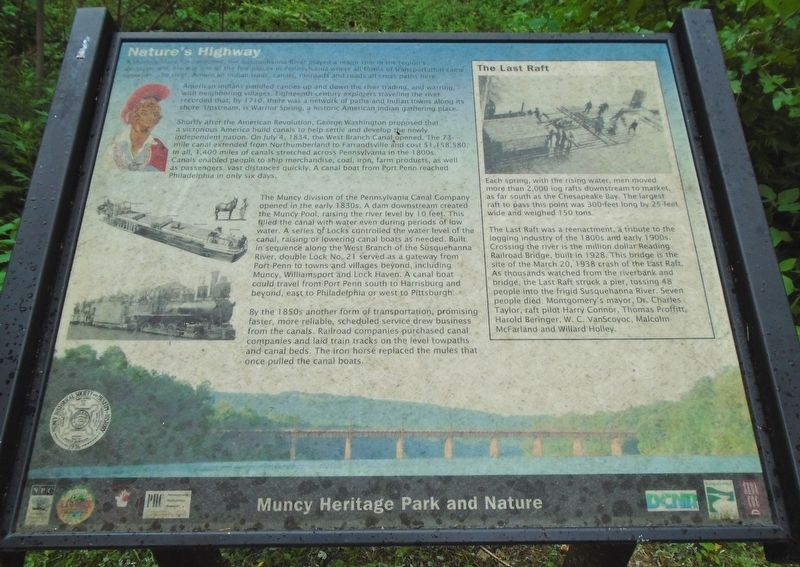
A thoroughfare for centuries, the Susquehanna River played a major role in the region's development. Here is one of the few places in Pennsylvania where all forms of transportation came together. The river, American Indian trails, canals, railroads and roads all cross paths here.
American Indians paddled canoes up and down the river trading, and warring, with neighboring villages. Eighteenth-century explorers traveling the river recording that, by 1710, there was a network of paths and Indian towns along its shore. Upstream, is Warrior Spring, a historic American Indian gathering place.
Shortly after the American Revolution, George Washington proposed that a victorious America build canals to help settle and develop the newly independent nation. On July 4, 1834, the West Branch Canal opened. The 73-mile canal extended from Northumberland to Farrandsville and cost $1,158,580. In all, 1,400 miles of canals stretched across Pennsylvania in the 1800s. Canals enabled people to ship merchandise, coal, iron, farm products, as well as passengers, vast distances quickly. A canal boat from Port Penn reached Philadelphia in only six days.
The Muncy division of the Pennsylvania Canal Company opened in the early 1830s. A dam downstream created the Muncy Pool, raising the river level by 10 feet. This filled the canal with water even
during periods of low water. A series of Locks controlled the water level of the canal, raising or lowering canal boats as needed. Built in sequence along the West Branch of the Susquehanna River, double Lock No. 21 served as a gateway from Port Penn to towns and villages beyond, including Muncy, Williamsport and Lock Haven. A canal boat could travel from Port Penn south to Harrisburg and beyond, east to Philadelphia or west to Pittsburgh.By the 1850s another form of transportation, promising faster, more reliable, scheduled service drew business from the canals. Railroad companies purchased canal companies and laid train tracks on the level towpaths and canal beds. The iron horse replaced the mules that once pulled the canal boats.
The Last Raft
Each spring, with the rising water, men moved more than 2,000 log rafts downstream to market, as far south as the Chesapeake Bay. The largest raft to pass this point was 300-feet long by 25-feet wide and weighed 150 tons.
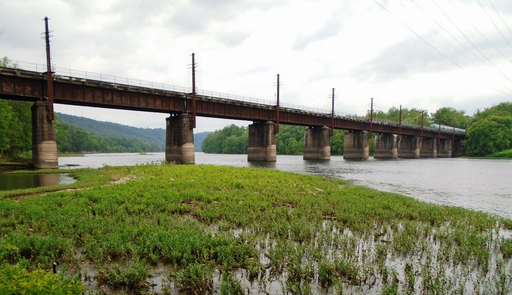
The Last Raft was a reenactment, a tribute to the logging industry of the 1800s and early 1900s. Crossing the river is the million dollar Reading Railroad Bridge, built in 1928. This bridge is the site of the March 20, 1938 crash of the Last Raft. As thousands watched from the riverbank and bridge, the Last Raft struck a pier, tossing 48 people into the frigid Susquehanna River. Seven people died:
Erected by Muncy Historical Society and Museum of History, PA DCNR, Susquehanna Greenway, et al.
Topics. This historical marker is listed in these topic lists: Disasters • Industry & Commerce • Man-Made Features • Waterways & Vessels. A significant historical year for this entry is 1710.
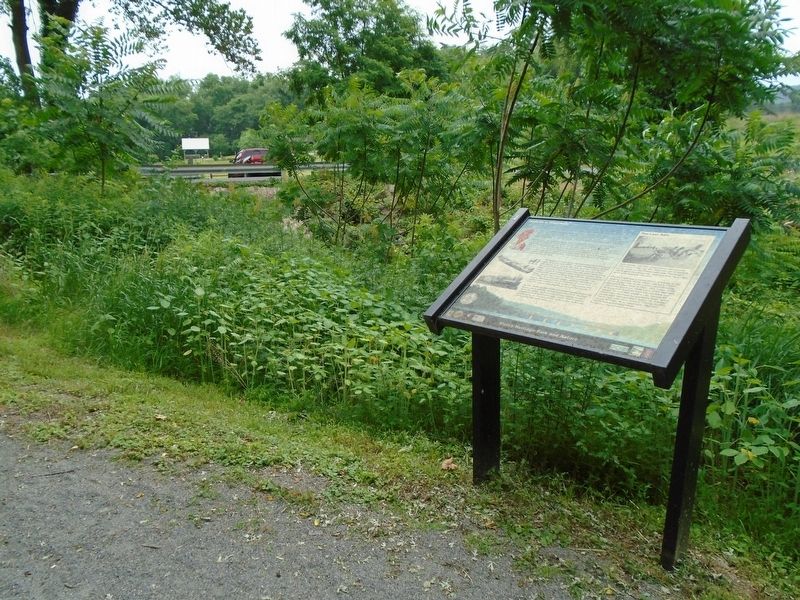
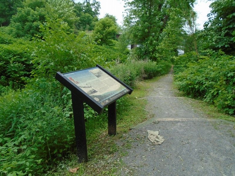
Location. 41° 11.531′ N, 76° 48.212′ W. Marker is in Muncy, Pennsylvania, in Lycoming County. Marker is at the Muncy Heritage Park and Nature Trail, on the trail between Pepper Street and the Susquehanna River. Touch for map. Marker is in this post office area: Muncy PA 17756, United States of America. Touch for directions.
Other nearby markers. At least 8 other markers are within one mile of this marker, measured as the crow flies. Drinking Well (within shouting distance of this marker); Welcome to Port Penn (within shouting distance of this marker); How a Lock Works (within shouting distance of this marker); The Lock-tender and His House (within shouting distance of this marker); Canal Boat Building (about 500 feet away, measured in a direct line); Canal Boats (about 500 feet away); Fisher Pond (about 700 feet away); Old Walton Cemetery (approx. 1.1 miles away). Touch for a list and map of all markers in Muncy.
Also see . . .
Credits. This page was last revised on July 25, 2018. It was originally submitted on July 25, 2018, by William Fischer, Jr. of Scranton, Pennsylvania. This page has been viewed 178 times since then and 12 times this year. Photos: 1, 2, 3, 4. submitted on July 25, 2018, by William Fischer, Jr. of Scranton, Pennsylvania.


