Pioneer Square in Seattle in King County, Washington — The American West (Northwest)
Site of Yesler’s Pavilion
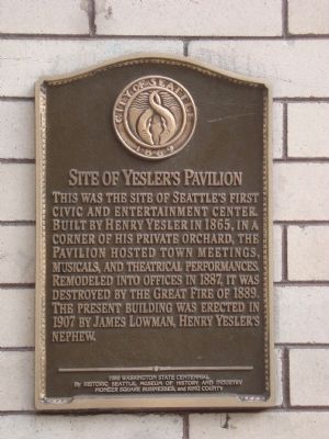
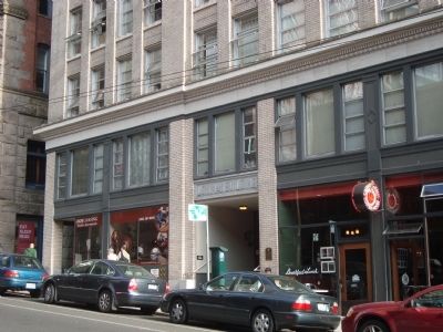
This was the site of Seattle’s first civic and entertainment center. Built by Henry Yesler in 1865, in a corner of his private orchard, the Pavilion hosted town meetings, musicals, and theatrical performances. Remodeled into offices in 1887, it was destroyed by the Great Fire of 1889. The present building was erected in 1907 by James Lowman, Henry Yesler’s nephew.
Erected 1989 by Historic Seattle Museum of History and Industry, Pioneer Square Businesses, and King County.
Topics. This historical marker is listed in these topic lists: Entertainment • Notable Buildings • Settlements & Settlers. A significant historical year for this entry is 1865.
Location. 47° 36.16′ N, 122° 20.028′ W. Marker is in Seattle, Washington, in King County. It is in Pioneer Square. Marker is on Cherry Street east of 1st Avenue, on the right when traveling east. Touch for map. Marker is at or near this postal address: 107 Cherry Street, Seattle WA 98104, United States of America. Touch for directions.
Other nearby markers. At least 8 other markers are within walking distance of this marker. How Did Fire Forge the City? (within shouting distance of this marker); The Broderick Building (within shouting distance of this marker); Pioneer Building (within shouting distance of this marker); First School in Seattle (within shouting distance of this marker); Carson D. Boren (within shouting distance of this marker); The Pioneer Square Pergola (about 300 feet away, measured in a direct line); Mutual Life Building (about 300 feet away); Merchant’s Cafe (about 400 feet away). Touch for a list and map of all markers in Seattle.
Also see . . . Find a Grave: Henry L. Yesler. (Submitted on October 9, 2011, by Barry Swackhamer of Brentwood, California.)
Credits. This page was last revised on February 7, 2023. It was originally submitted on October 9, 2011, by Barry Swackhamer of Brentwood, California. This page has been viewed 654 times since then and 10 times this year. Last updated on July 26, 2018, by Douglass Halvorsen of Klamath Falls, Oregon. Photos: 1, 2. submitted on October 9, 2011, by Barry Swackhamer of Brentwood, California. • Syd Whittle was the editor who published this page.

