Near Elkton in Page County, Virginia — The American South (Mid-Atlantic)
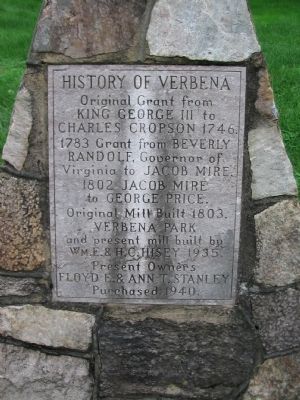
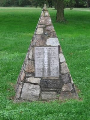
History of Verbena
King George III to
Charles Cropson 1746.
1783 Grant from Beverly
Randolf, Governor of
Virginia to Jacob Mire.
1802 Jacob Mire
to George Price.
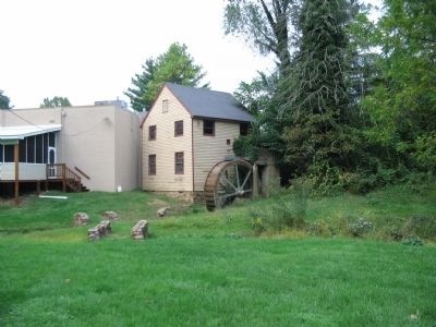
Original Mill Built 1803.
Verbena Park
and present mill built by
Wm. E & H.C. Hisey 1935.
Present Owners
Floyd E. & Ann T. Stanley
Purchased 1940.
Topics. This historical marker is listed in this topic list: Settlements & Settlers. A significant historical year for this entry is 1746.
Location. 38° 27.928′ N, 78° 37.035′ W. Marker is near Elkton, Virginia, in Page County. Marker is at the intersection of Moose Bottom Road and U.S. 340, on the left when traveling east on Moose Bottom Road. Located just north of the Page and Rockingham County Lines, in a small park next to the Shenandoah Moose Lodge. Touch for map. Marker is at or near this postal address: 6386 East Side Hwy, Shenandoah VA 22849, United States of America. Touch for directions.
Other nearby markers. At least 8 other markers are within 2 miles of this marker, measured as the crow flies. Rockingham County / Page County (within shouting distance of this marker); Shenandoah Iron Works (approx. 1.3 miles away); WWI Cannon 1906 Model (approx. 1.4 miles away); The Stevens Cottage 1890 (approx. 1.4 miles away); Shenandoah Historic District (approx. 1˝ miles away); Veterans Memorial (approx. 1˝ miles away); Shenandoah World War I & II Memorial (approx. 1.9 miles away); Veterans Memorial Fields (approx. 2 miles away).
Credits. This page was last revised on July 8, 2021. It was originally submitted on October 5, 2008, by Craig Swain of Leesburg, Virginia. This page has been viewed 1,673 times since then and 30 times this year. Photos: 1, 2, 3. submitted on October 5, 2008, by Craig Swain of Leesburg, Virginia.


