Military Air Disaster
Side A
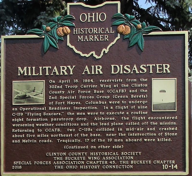
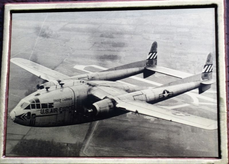
On April 18, 1964, reservists from the 302nd Troop Carrier Wing at the Clinton County Air Force Base (CCAFB) and 2nd Special Forces Group (Green Berets) of Fort Hayes, Columbus were to undergo an Operational Readiness Inspection. In a flight of nine C-119 "Flying Boxcars," the men were to execute a routine night formation paratroop drop. Airborne, the flight encountered worsening weather conditions and the lead plane called off the mission. Returning to CCAFB, two C-119s collided in mid-air and crashed about five miles northeast of the base, near the intersection of Stone and Melvin roads. Tragically, 17 of the 19 men aboard were killed.
(Continued on other side)
Side B
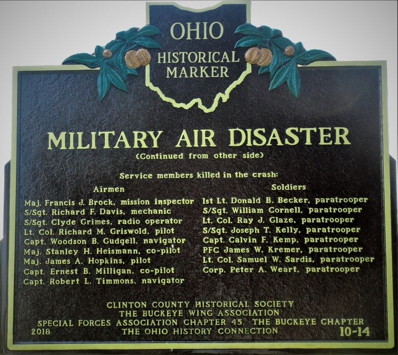
(Continued from other side)
Service members killed in the crash:
Airmen: Maj. Francis J. Brock, mission inspector · S/Sgt. Richard F. Davis, mechanic · S/Sgt. Clyde Grimes, radio operator · Lt. Col. Richard M. Griswold, pilot · Capt. Woodson B. Gudgell, navigator · Maj. Stanley H. Heismann, co-pilot · Maj. James A. Hopkins, pilot · Capt. Ernest B. Milligan, co-pilot · Capt. Robert L. Timmons, navigator
Soldiers: 1st Lt. Donald B. Becker, paratrooper · S/Sgt. William Cornell, paratrooper · Lt. Col. Ray J. Glaze, paratrooper · S/Sgt. Joseph T. Kelly, paratrooper · Capt. Calvin
F. Kemp, paratrooper · PFC James W. Kremer, paratrooper · Lt. Col. Samuel W. Sardis, paratrooper · Corp. Peter A. Weart, paratrooperErected 2018 by Clinton County Historical Society, The Buckeye Wing Association, Special Forces Association Chapter 45, The Buckeye Chapter; The Ohio History Connection. (Marker Number 10-14.)
Topics and series. This memorial is listed in these topic lists: Air & Space • Disasters. In addition, it is included in the Ohio Historical Society / The Ohio History Connection series list.
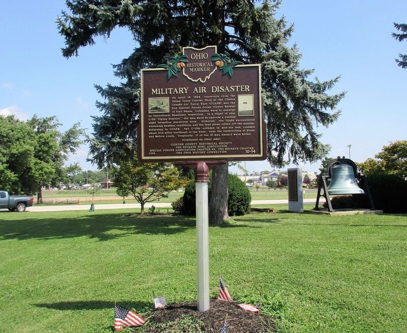
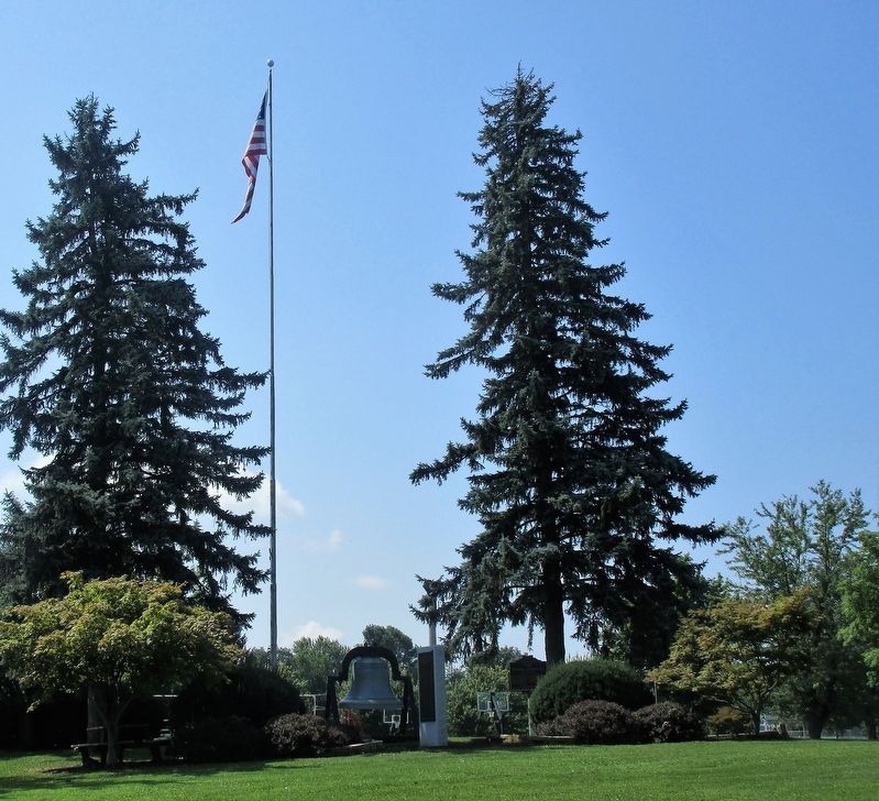
Location. 39° 26.744′ N, 83° 48.587′ W. Marker is in Wilmington, Ohio, in Clinton County. Memorial is on Park Drive near Rombach Avenue (U.S. 22), on the left when traveling south. Marker is in J. W. Denver Williams Memorial Park. Touch for map. Marker is at or near this postal address: 1100 Rombach Avenue, Wilmington OH 45177, United States of America. Touch for directions.
Other nearby markers. At least 8 other markers are within walking distance of this marker. 1968 Clinton County AFB C-119G Plane Crash (here, next to this marker); 302 TAW C-123 Accident Memorial (a few steps from this marker); 302 TAW C-119 Accident Memorial (a few steps from this marker); 907 TAG C-119G Accident Memorial (a few steps from this marker); 302nd TCW Aircraft Accident Memorial (a few steps from this marker); Kenneth W. Faul (about 300 feet away, measured in a direct line); J. W. Denver Williams, Jr. (about 700 feet away); Wilmington War Memorial (about 700 feet away). Touch for a list and map of all markers in Wilmington.
Credits. This page was last revised on August 6, 2018. It was originally submitted on August 5, 2018, by Rev. Ronald Irick of West Liberty, Ohio. This page has been viewed 873 times since then and 308 times this year. Photos: 1, 2, 3, 4, 5, 6. submitted on August 5, 2018, by Rev. Ronald Irick of West Liberty, Ohio. • Andrew Ruppenstein was the editor who published this page.
